Information
Landmark: Rovinj HarbourCity: Rovinj
Country: Croatia
Continent: Europe
Rovinj Harbour, Rovinj, Croatia, Europe
Rovinj Harbour is a functional maritime hub and central social area located on the eastern and northern edges of the historic Rovinj peninsula. It serves as the primary arrival point for ferry services and a docking area for both traditional fishing vessels and modern yachts.
Visual Characteristics
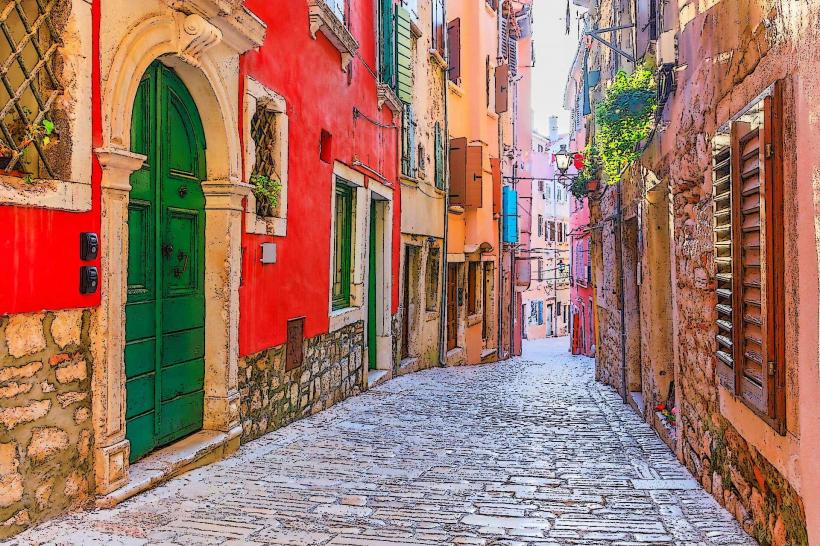
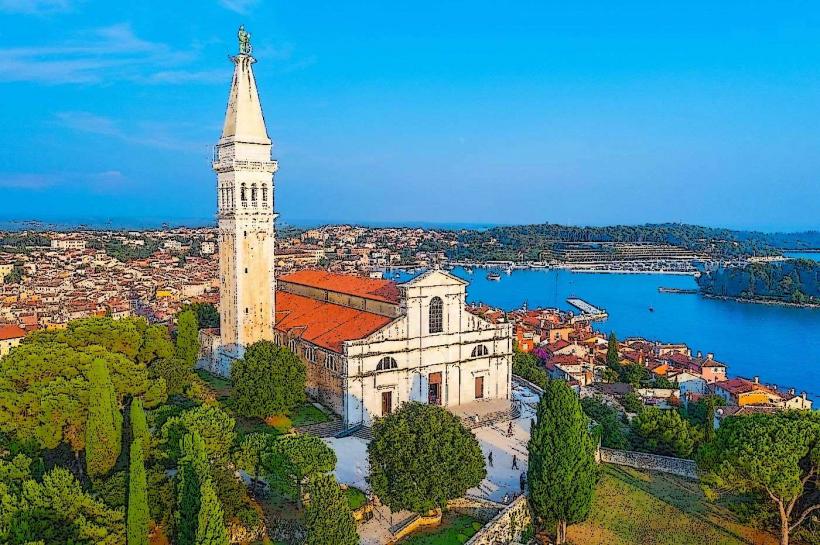
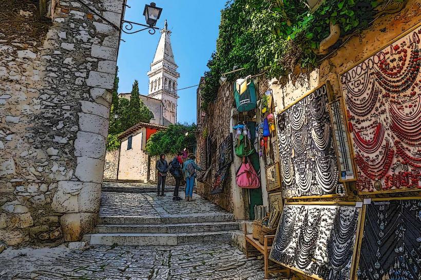
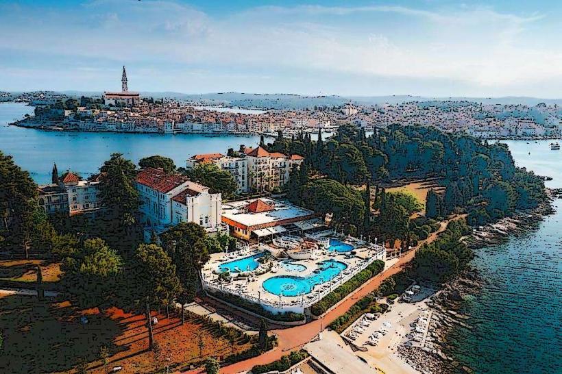
The harbor is defined by a wide, U-shaped waterfront lined with pastel-colored Venetian-style buildings and stone piers. The "Veliki mol" (Big Pier) extends into the Adriatic, offering a panoramic view of the Old Town skyline and the Church of St. Euphemia. The water is populated by batanas (traditional flat-bottomed wooden boats) and larger international catamarans. At night, the area is illuminated by street lamps reflecting off the limestone quays and the water surface.
Location & Access Logistics
The harbor encompasses the area from the main town square (Trg Maršala Tita) toward the northern Valdibora bay and the southern ACI Marina.
Pedestrian Access: It is the primary transition zone between the modern town and the pedestrian-only Old Town.
Ferry Services: International ferries from Venice and Trieste, as well as local lines to nearby islands like Katarina and St. Andrew, depart from the central piers.
Parking: No vehicle access on the quays. The nearest large parking facilities are Valdibora (North) and the parking zones near the ACI Marina (South).
Historical & Ecological Origin
Rovinj’s maritime identity was established during the Roman era and solidified under Venetian rule (1283–1797). The harbor was the center of a thriving sardine canning industry and shipbuilding tradition. Ecologically, it sits within the Rovinj archipelago, protected by a series of islands that act as natural breakwaters, creating a sheltered basin for maritime activity.
Key Highlights & Activities
Batana Processions: Traditional wooden boats often depart from here for evening culinary and musical tours.
Ferry Departures: A central hub for day trips to Venice and the Brijuni National Park.
Fisherman’s Port: Located on the northern side, where visitors can observe the daily return of local fishing fleets and the mending of nets.
Waterfront Dining: The quays are lined with restaurants specializing in Istrian seafood and Malvasia wine.
Infrastructure & Amenities
The harbor area features the main tourism office, currency exchanges, and ticket kiosks for various boat excursions. Public restrooms are located near the Valdibora market area. 5G cellular coverage is excellent throughout the waterfront. The piers are level and accessible, though the stone surfaces can be slippery when wet.
Best Time to Visit
Early Morning: Ideal for observing the active fishing port and the arrival of the daily catch.
Sunset: The "Golden Hour" provides direct light on the Old Town facades and is the peak time for social activity along the piers.
Season: Active year-round; ferry traffic is highest from June to September.
Facts & Legends
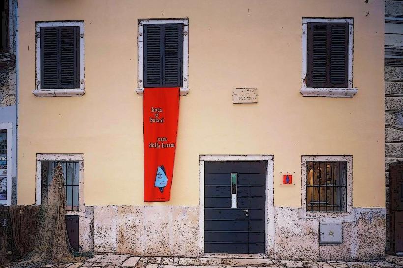
A historical oddity is the "Batana," a boat unique to Rovinj designed with a flat bottom to navigate the shallow local waters and facilitate night fishing with a lantern (proviža). Legend says the town’s sailors were so skilled that they could navigate the Adriatic blindly, guided only by the scent of the pine forests at Golden Cape.
Nearby Landmarks
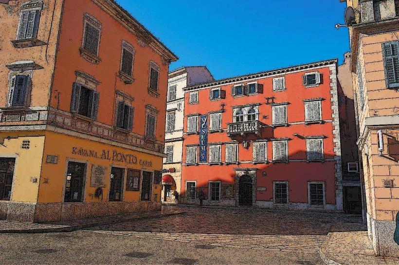
Trg Maršala Tita (Main Square) – 0.05km East
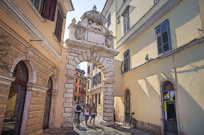
Balbi's Arch – 0.1km North
Batana Eco-Museum – 0.1km East
Church of St. Euphemia – 0.4km Northwest
ACI Marina Rovinj – 0.8km South