Information
Landmark: Skadar LakeCity: Bar
Country: Montenegro
Continent: Europe
Skadar Lake, Bar, Montenegro, Europe
Lake Skadar is the largest freshwater lake in the Balkan Peninsula, situated in a karst depression on the border of Montenegro and Albania. The western section of the lake falls within the Bar municipality, specifically encompassing the Crmnica region and the coastal villages of the Skadar Lake National Park.
Visual Characteristics
The lake surface is characterized by vast carpets of white and yellow water lilies (Nuphar lutea) and dense beds of water chestnuts. The shoreline features a rugged karst topography with steep limestone cliffs, numerous small islands (goricas), and flooded river valleys known as "rijeka." Water levels fluctuate seasonally by up to 5 meters, significantly altering the visible shoreline and exposing or submerging wetland vegetation.
Location & Access Logistics
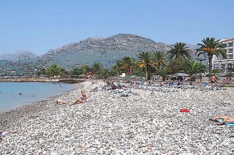
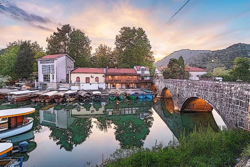
Primary access is via the town of Virpazar, located on the E65/E80 highway and the Belgrade–Bar railway line. From central Bar, the lake is reachable in 30 minutes via the Sozina Tunnel or the historic mountain road over the Rumija range. Public transit includes regional buses and trains stopping at Virpazar. Maritime access is facilitated by flat-bottomed boats and kayaks departing from piers in Virpazar, Godinje, and Murići.
Historical & Ecological Origin
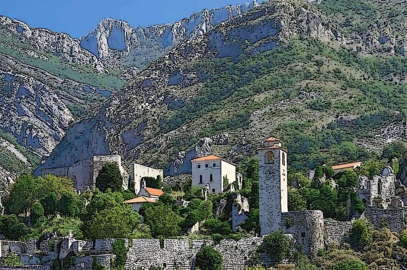
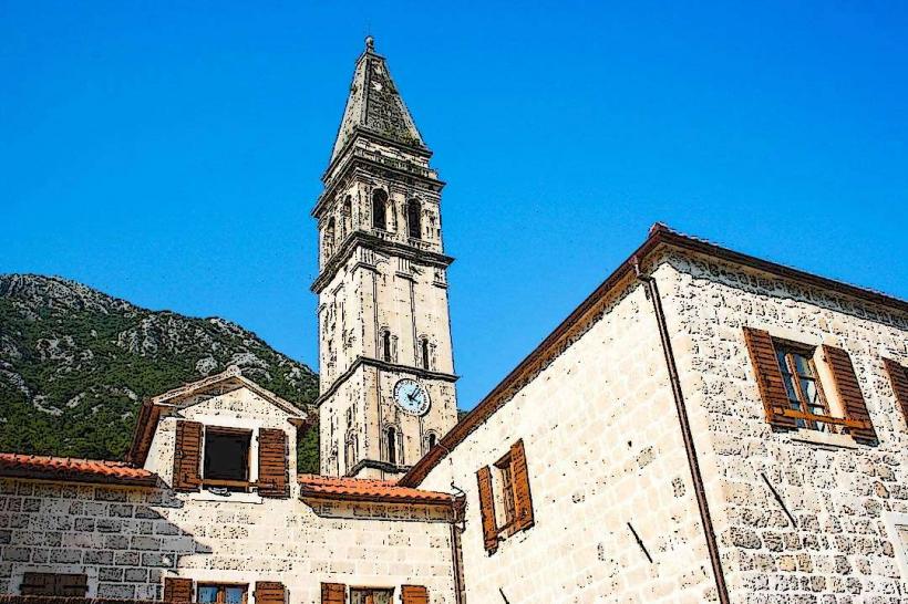
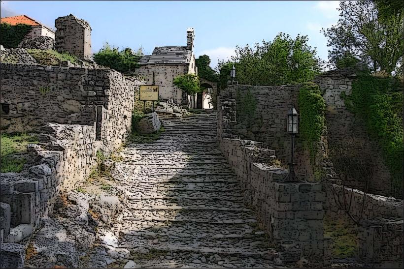
Formed through the tectonic collapse of karst limestone during the Tertiary period, the lake basin was subsequently filled by the Drin and Morača river systems. Historically, the lake served as a strategic frontier between the Ottoman Empire and the Principality of Montenegro, resulting in a high density of 14th-century island monasteries and stone fortifications constructed by the Balšić and Crnojević dynasties.
Key Highlights & Activities
Birdwatching is a primary activity, as the lake is one of Europe's largest reserves for the Dalmatian Pelican. Boat tours depart regularly to the Grmožur island fortress and the Moračnik monastery. Murići Beach provides the only significant natural sandy stretch for swimming. Kayaking through the narrow channels of the Crmnica river allows for close-range observation of the lake's 280 bird species.
Infrastructure & Amenities
The National Park Visitor Center in Virpazar provides maps and permits. Public restrooms are concentrated in Virpazar and Vranjina; remote sections of the lake lack infrastructure. 4G and 5G cellular coverage is consistent near main roads but weakens in the deep inlets of the southern shore. Shaded areas are scarce on the open water, requiring use of covered vessels or the pine groves at Murići.
Best Time to Visit
May and June offer the most extensive vegetation growth and nesting activity for migratory birds. Photography is optimal at sunrise when the water is calm and the fog often settles in the surrounding karst valleys. High-water periods in spring allow for deeper penetration into the flooded forests, while late summer is preferred for swimming as water temperatures reach 27°C.
Facts & Legends
Grmožur Island was once known as the "Montenegrin Alcatraz," a prison for non-swimmers from which only one inmate reportedly escaped using a wooden door as a raft. The lake contains unique "sublacustrine springs" called oka (eyes), where groundwater from the surrounding mountains erupts from the lake floor at depths exceeding 60 meters.
Nearby Landmarks
Besac Fortress – 0.6km West (from Virpazar)
Grmožur Fortress – 3.2km East (from Virpazar)
Starčevo Monastery – 4.5km Southeast (from Murići)
Kom Monastery – 4.8km Northeast (from Vranjina)
Lesendro Fortress – 4.1km East (from Virpazar)