Information
Landmark: Skopje AqueductCity: Skopje
Country: North Macedonia
Continent: Europe
Skopje Aqueduct, Skopje, North Macedonia, Europe
The Skopje Aqueduct is an archaeological stone structure situated in the Vizbegovo district, approximately 2km northwest of the city center. It is the only remaining aqueduct in North Macedonia and one of three in the former Yugoslavia.
Visual Characteristics
The structure is a massive masonry bridge consisting of 55 semi-circular arches supported by thick stone piers. It is constructed from a combination of stone, brick, and lime mortar, exhibiting a rhythmic polychromatic appearance. The aqueduct measures approximately 386 meters in length. Its height varies according to the terrain, reaching a maximum of about 16 meters. The top of the structure features a narrow lead-lined channel used for water transport.
Location & Access Logistics
The site is located off the M3 highway (Skopje–Blace), near the village of Vizbegovo. Access is difficult as there is no formal paved road leading directly to the monument; visitors must navigate a dirt track through agricultural fields. There is no dedicated parking lot or public transport service to the site. The nearest accessible point by vehicle is the industrial zone of Vizbegovo, followed by a 15-minute walk.
Historical & Ecological Origin
The exact date of construction is debated by archaeologists. Theories suggest it originated during the Roman period (1st century) to supply the colony of Scupi, the Byzantine period (6th century) under Justinian I, or the Ottoman period (16th century) to supply public baths. Geologically, it sits on the flat sedimentary plain of the Skopje valley. The structure was significantly damaged by the 1963 earthquake and has since been subject to gradual erosion.
Key Highlights & Activities
The primary activity is the observation of ancient hydraulic engineering and photography of the long perspective of arches. The site is a location for independent historical research and landscape painting. Due to its isolated location, it offers a quiet environment for exploring archaeological ruins away from the urban core.
Infrastructure & Amenities
There is zero infrastructure at the site. No restrooms, visitor centers, signage, or food vendors exist. 5G and 4G mobile signals are functional but can be inconsistent depending on the provider. There is no natural or artificial shade. Visitors must carry all necessary supplies, including water, and are advised to wear sturdy footwear for the uneven terrain.
Best Time to Visit
Photography is optimal during the "Golden Hour" shortly before sunset, as the light emphasizes the texture of the brick and stone arches. Spring and autumn are the only recommended seasons for visiting; winter makes the access path impassable due to mud, and summer temperatures on the exposed plain are extreme.
Facts & Legends
Local accounts frequently attribute the construction to the Ottomans for the purpose of bringing water to the Kuršumli An. A historical oddity is that despite being a monumental heritage site of the highest category, it remained largely neglected for decades until recent emergency stabilization efforts began in 2021 to prevent the collapse of the central arches.
Nearby Landmarks
Scupi Archaeological Site: 3km South
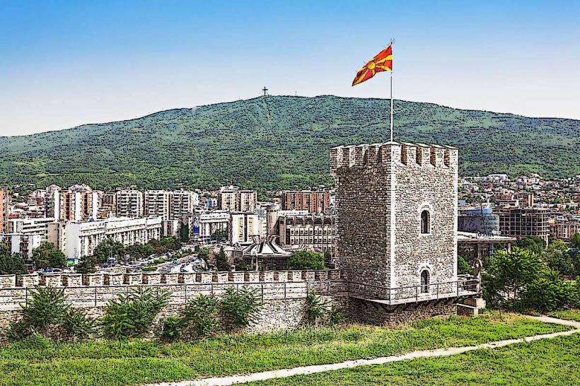
Skopje Fortress (Kale): 5km Southeast
Vizbegovo Industrial Zone: 1.5km East
Vardar River: 2.5km Southwest
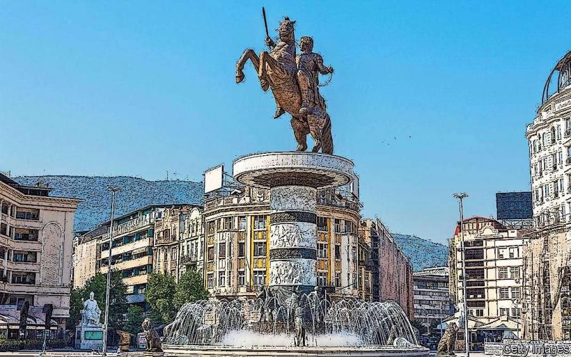
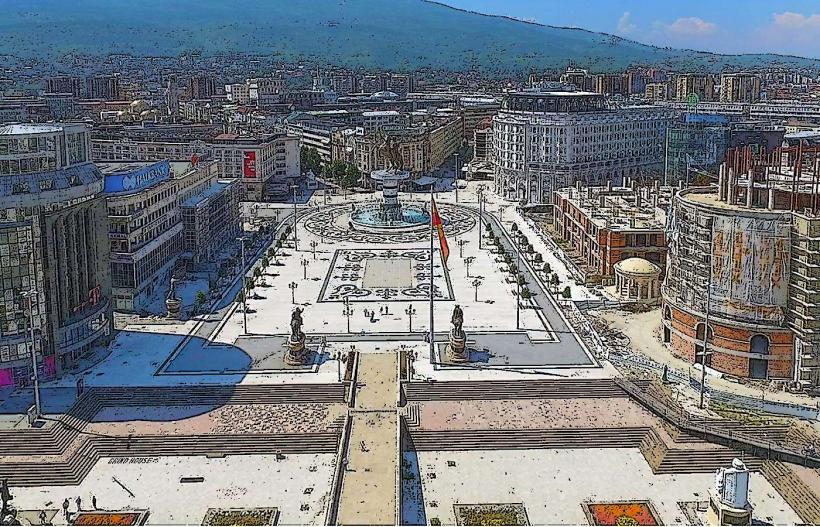
Macedonia Square: 5.5km Southeast