Information
Landmark: Slano LakeCity: Niksic
Country: Montenegro
Continent: Europe
Slano Lake, Niksic, Montenegro, Europe
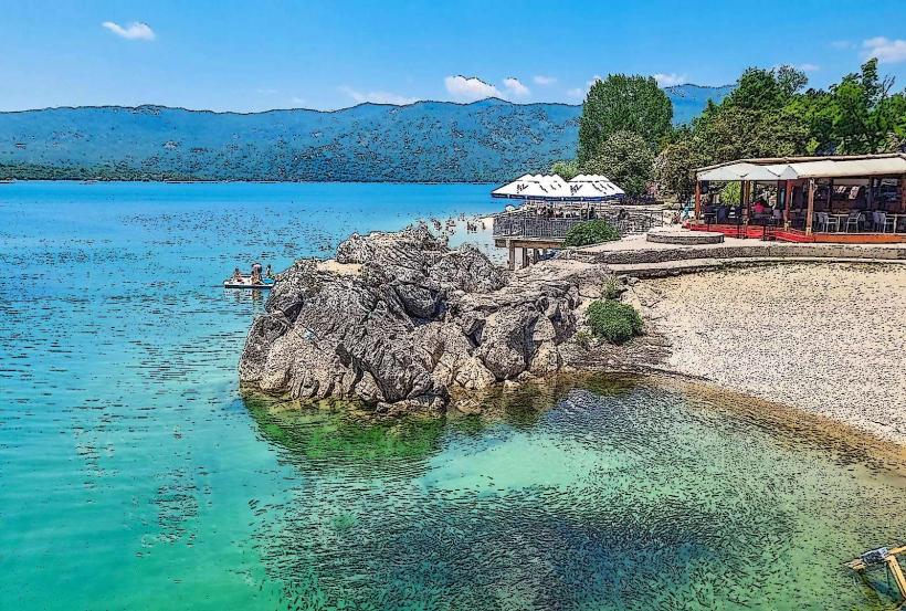
Slano Lake (Slano jezero) is an expansive artificial reservoir located in the western part of the Nikšić Field. Despite its name (meaning "Salt Lake"), it is a freshwater body, so named because it occupies a karst plain that was historically known for its salty soil deposits.
Visual Characteristics
The lake is characterized by a highly indented coastline and an archipelago of over 30 islands and peninsulas, which are actually the summits of submerged karst hills. The water is typically deep blue or turquoise, contrasting with the stark, grey limestone mountains of the Njegoš and Somina ranges that frame the basin. The eastern shore is defined by a massive earthen and stone dam system.
Location & Access Logistics
The lake is situated approximately 6 kilometers west of Nikšić city center. It is accessible via the M-6 highway (Nikšić–Vilusi–Trebinje). There are several designated viewpoints along the main road that provide a full perspective of the archipelago. Access to the shoreline is via various gravel turn-offs from the main road. There is no public transport directly to the lake; private vehicles, taxis, or bicycles are necessary.
Historical & Ecological Origin
Created in 1950 for the needs of the "Perućica" Hydroelectric Power Plant, the lake flooded a large portion of the karst field. Geologically, the area is a complex of sinkholes (ponors) and caves; during construction, over 80 major sinkholes had to be sealed with concrete to ensure the basin could hold water. The lake has since become a significant habitat for wild ducks and other migratory birds.
Key Highlights & Activities
The lake is a primary destination for sport fishing, particularly for trout, carp, and chub. Due to its rugged and un-urbanized coastline, it is favored by campers and nature photographers seeking a wilder alternative to the nearby Krupac Lake. The "Slano" dam is a popular 1.5-kilometer route for walking and cycling. Boating and kayaking are common methods for exploring the numerous islands.
Infrastructure & Amenities
Infrastructure is significantly less developed than at Krupac Lake. There are no large commercial beach clubs or public restrooms directly on the shore. A few small, local restaurants are located along the main road overlooking the lake. 4G/5G cellular signal is stable across the eastern and northern sections. Natural shade is sparse, limited to low-lying Mediterranean shrubs and a few clusters of pine near the dams.
Best Time to Visit
Photography is most effective in the early morning when the water is perfectly still, creating reflections of the islands, or at sunset when the limestone peaks turn orange. Late spring is ideal for seeing the lake at its maximum water level. In late summer, the water level often drops, revealing the underlying karst architecture and stone walls of former agricultural estates.
Facts & Legends
A technical marvel of Slano Lake is the complex underground tunnel system that connects it to Krupac Lake and the Vrtac retention basin, allowing for the synchronized management of water for electricity production. Local accounts often highlight the "Sunken Village" aspect, as the foundations of old stone houses and bridges from the pre-1950s era remain preserved at the bottom of the lake, occasionally becoming visible during extreme droughts.
Nearby Landmarks
Krupac Lake – 4.0km East
Vukov Most (Vuko's Bridge) – 5.0km Southeast
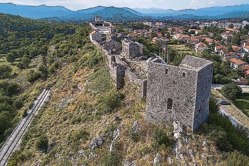
Bedem Fortress – 6.5km East
Carev Most (Emperor's Bridge) – 10.0km Southeast
Grahovo Lake – 25.0km Southwest