Information
Landmark: Sokograd FortressCity: Nis
Country: Serbia
Continent: Europe
Sokograd Fortress, Nis, Serbia, Europe
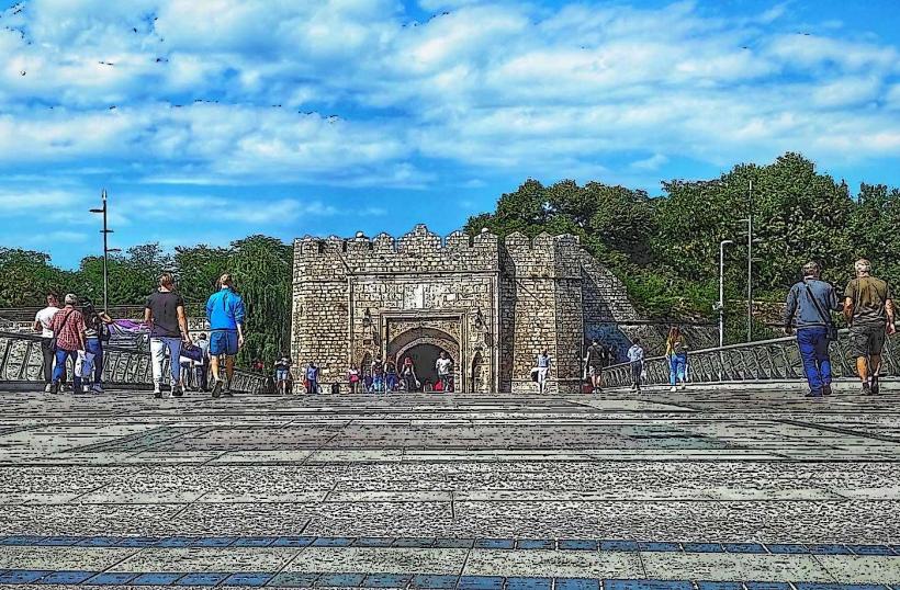
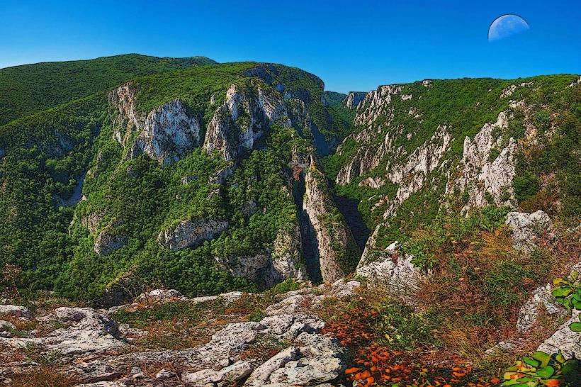
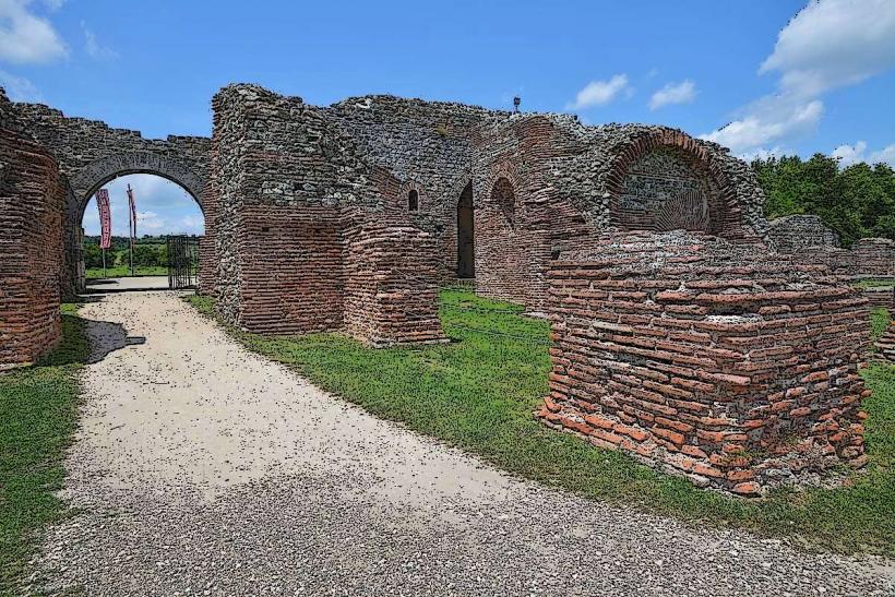
The Sokograd Fortress is a medieval fortification located on a steep hill above the Moravica River, approximately 60 kilometers southeast of Niš, Serbia, near the town of Sokobanja. It served as a strategic defensive stronghold controlling access to the Sokobanja valley.
Visual Characteristics
The fortress consists primarily of stone walls and remnants of towers constructed from local grey and brown quarried stone. It is divided into an Upper Town and a Lower Town. The Upper Town, situated at the highest point, features a well-preserved main gate and sections of defensive walls, reaching an estimated height of 5-8 meters in places. The architectural style is characteristic of Byzantine and Serbian medieval military architecture, with robust, unadorned stone masonry designed for defense rather than aesthetics. Vegetation, including shrubs and small trees, grows within and around the ruins.
Location & Access Logistics
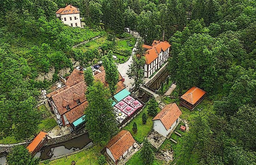
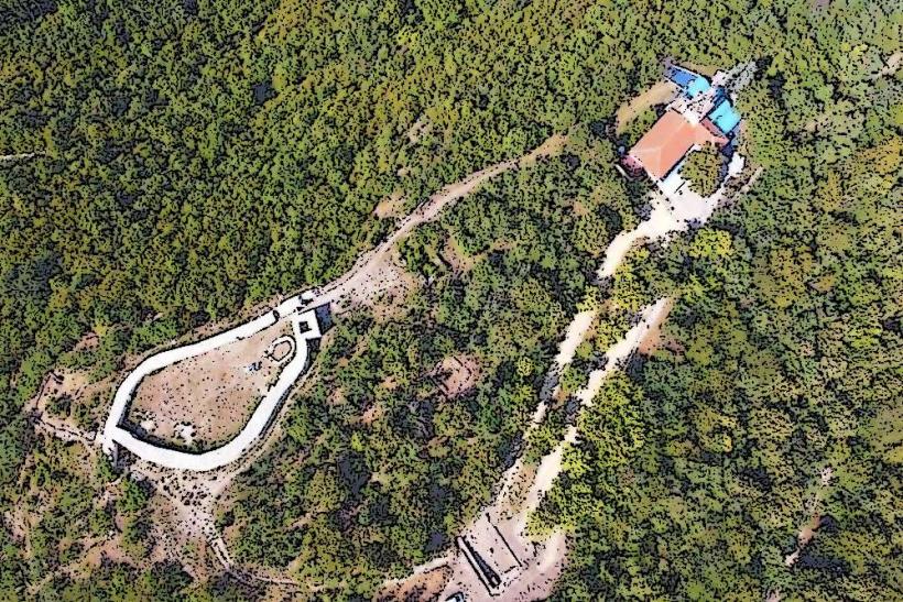
Access to Sokograd Fortress is primarily by road. From Niš, take the E75 highway north towards Aleksinac, then turn onto regional road 158 towards Sokobanja. The fortress is located approximately 2 kilometers north of Sokobanja town center. A paved road leads to a parking area at the base of the hill, from which a marked hiking trail ascends to the fortress. The trail is unpaved and moderately steep, requiring approximately 20-30 minutes of walking. Public transport involves taking a bus from Niš to Sokobanja bus station, then a local taxi or a walk of about 2.5 kilometers to the trailhead.
Historical & Ecological Origin
The origins of Sokograd Fortress date back to the late Roman or early Byzantine period, likely constructed in the 4th or 5th century AD. It was significantly rebuilt and expanded during the Serbian medieval state, particularly under Stefan Nemanja in the 12th century, and later by Despot Stefan Lazarević. Its original purpose was to defend the thermal springs and strategic routes through the Moravica valley. The fortress was eventually conquered by the Ottoman Empire in 1413 and subsequently fell into ruin.
Key Highlights & Activities
Visitors can explore the remnants of the Upper and Lower Towns, including the main gate and sections of the defensive walls. Hiking the marked trail to the fortress offers panoramic views of the Moravica River valley and surrounding mountains. Photography of the ruins and landscape is a primary activity. There are no organized tours departing from the site itself; exploration is self-guided.
Infrastructure & Amenities
There are no dedicated restrooms or permanent shade structures directly within the Sokograd Fortress ruins. Basic amenities, including public restrooms and cafes, are available in the nearby town of Sokobanja. Cell phone signal (4G/5G) is generally available at the fortress and along the access trail. There are no food vendors at the site; visitors should bring their own water and snacks.
Best Time to Visit
The best time to visit Sokograd Fortress is during the spring (April-June) and autumn (September-October) months, when temperatures are moderate and vegetation is lush. Summer months can be hot, making the uphill hike more challenging. For photography, early morning or late afternoon provides optimal lighting, casting long shadows and enhancing the texture of the stone ruins. The site is accessible year-round, but winter visits may be affected by snow and ice on the trail.
Facts & Legends
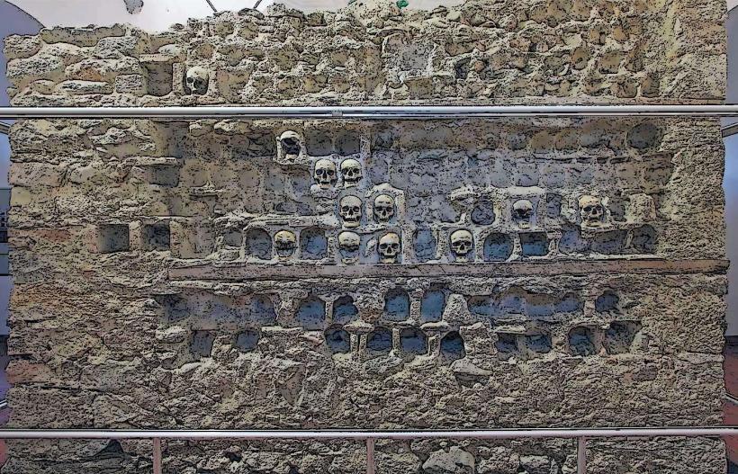
Local legend states that the fortress was once home to a cruel Byzantine empress named Jerina, who forced her subjects to carry stones from the river up to the fortress for its construction. Another historical oddity is the discovery of Roman coins and pottery fragments, indicating continuous occupation or use of the site over many centuries. A specific tip for visitors is to wear sturdy hiking shoes due to the uneven terrain and steep sections of the trail.
Nearby Landmarks
- Sokobanja Thermal Spa: 2.5km South
- Lepterija Picnic Area: 1.5km South-East
- Ozren Mountain: 5km South-West
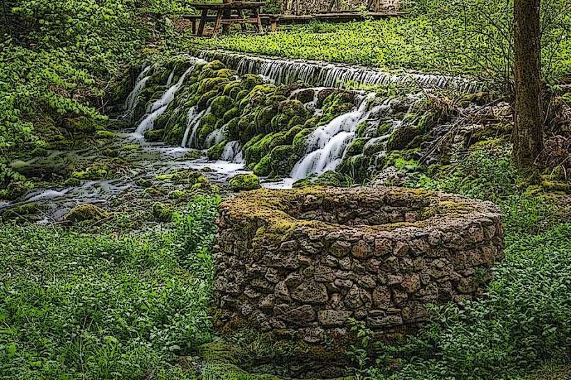
- Ripaljka Waterfall: 7km South-East