Information
Landmark: Sugarcane PlantationsCity: Banfora
Country: Burkina Faso
Continent: Africa
Sugarcane Plantations, Banfora, Burkina Faso, Africa
The Sugarcane Plantations near Banfora, Burkina Faso, represent a significant agricultural area focused on the cultivation of sugarcane.
These extensive fields are situated in the southwestern region of Burkina Faso, surrounding the town of Banfora.
Visual Characteristics
The landscape is dominated by large, uniform fields of sugarcane, characterized by tall, green stalks reaching heights of 2 to 3 meters. The soil in the region is typically reddish-brown. Irrigation channels and access roads are visible throughout the plantations, creating a grid-like pattern across the terrain.
Location & Access Logistics
The plantations are located approximately 5 kilometers south of Banfora's town center. Access is primarily via the paved Route Nationale 1 (RN1) which runs adjacent to the eastern edge of the main plantation area. Unpaved service roads branch off the RN1, providing internal access. Parking is available at designated points along the RN1 or on the service roads, though formal parking facilities are absent. Public transport to Banfora is available via bus services from Ouagadougou and Bobo-Dioulasso; local taxis or motorcycles can then be hired to reach the plantations.
Historical & Ecological Origin
The establishment of large-scale sugarcane cultivation in this region is linked to agricultural development initiatives aimed at boosting the local economy and providing raw materials for processing. The area's ecological suitability is due to its tropical savanna climate, which provides adequate rainfall and temperatures for sugarcane growth, supplemented by irrigation systems.
Key Highlights & Activities
Observation of agricultural practices is the primary activity. Visitors can drive or walk along the perimeter roads to view the sugarcane fields. Photography of the agricultural landscape is possible. During harvest seasons, the operation of harvesting machinery may be observed.
Infrastructure & Amenities
Basic infrastructure includes irrigation canals and unpaved access roads. There are no dedicated visitor facilities such as restrooms or shade structures within the plantations themselves. Cell phone signal (2G/3G) is generally available in the vicinity of Banfora, but may be intermittent within the denser field areas. Food vendors are typically located in Banfora, not directly at the plantations.
Best Time to Visit
The best time for visual observation of the sugarcane growth cycle is during the wet season, from June to October, when the stalks are at their tallest and greenest. The dry season, from November to May, can offer clearer skies for photography but the vegetation may appear less lush. The harvest period, typically from December to April, provides opportunities to see machinery in operation. Mid-morning (9:00 AM - 11:00 AM) and late afternoon (3:00 PM - 5:00 PM) offer favorable lighting conditions for photography due to lower sun angles.
Facts & Legends
A specific local practice involves the use of traditional methods for extracting juice from harvested sugarcane stalks, often sold by roadside vendors in Banfora. While not a legend, the scale of the plantations is a significant factor in the regional economy, providing employment for a substantial portion of the local population.
Nearby Landmarks
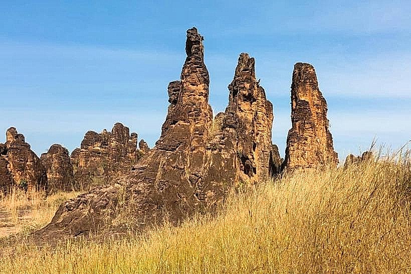
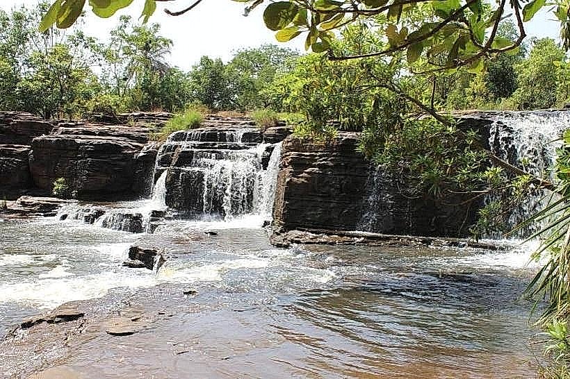
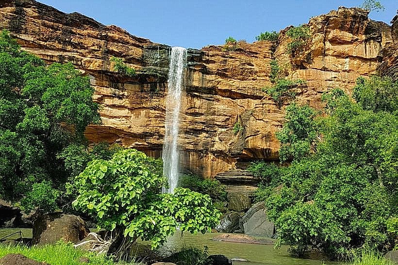
- Cascades de Karfiguéla (2.5km Southwest)
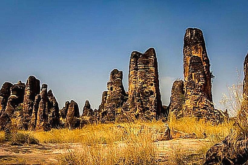
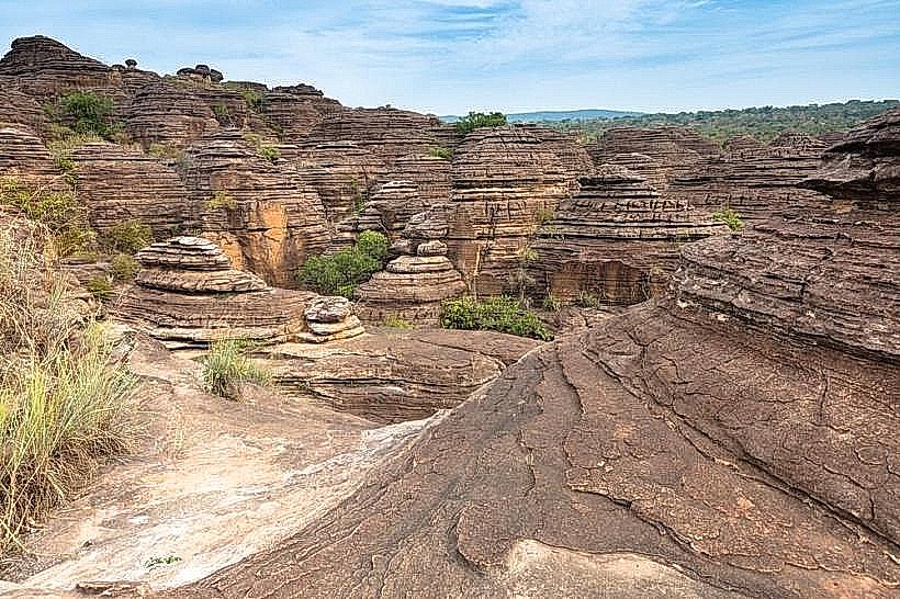
- Dômes de Fabedougou (4.0km Southwest)
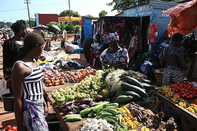
- Banfora Central Market (5.0km North)
- Musée de la Femme (5.0km North)