Information
Landmark: TejedaCity: Gran Canaria
Country: Canary Islands
Continent: Europe
Tejeda, Gran Canaria, Canary Islands, Europe
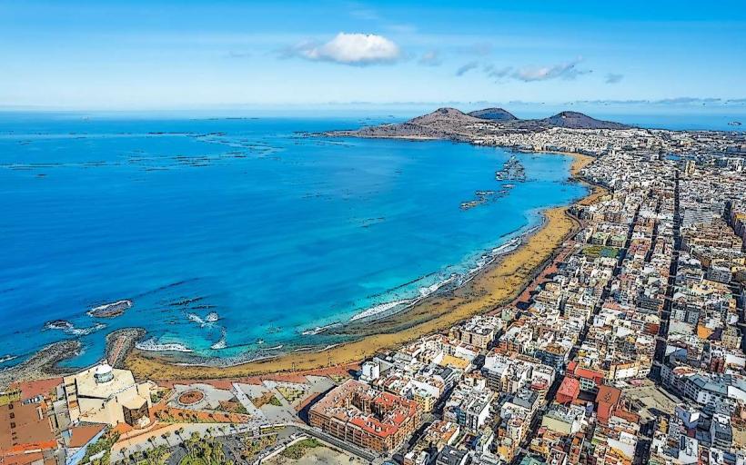
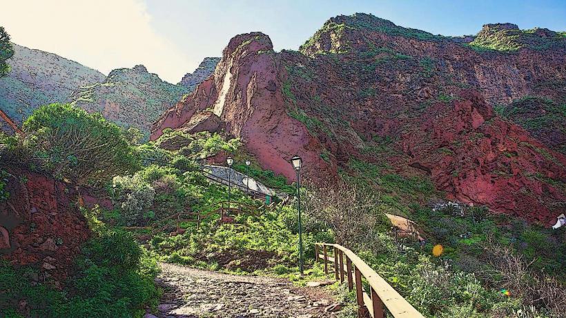
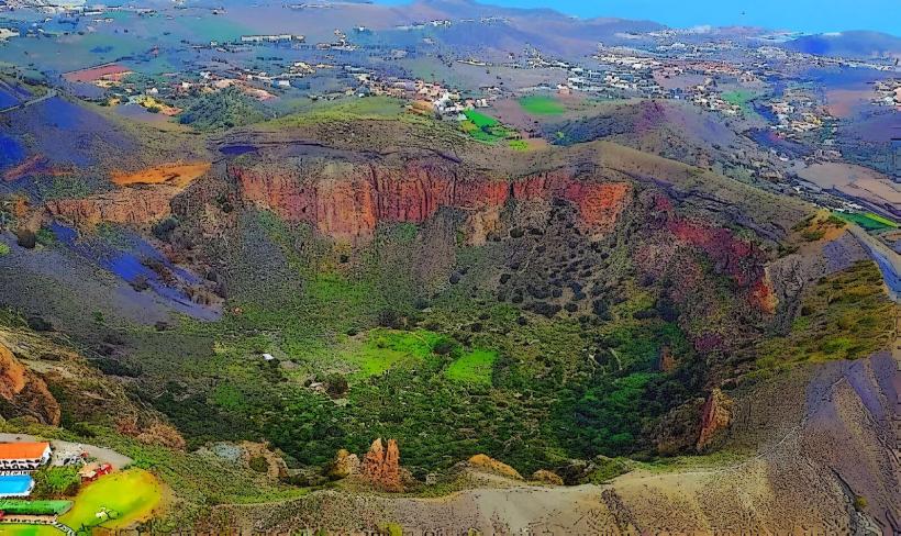
Tejeda is a municipality and village located in the central highlands of Gran Canaria, Canary Islands. It is situated within a large volcanic caldera, characterized by dramatic rock formations and terraced agricultural land.
Visual Characteristics
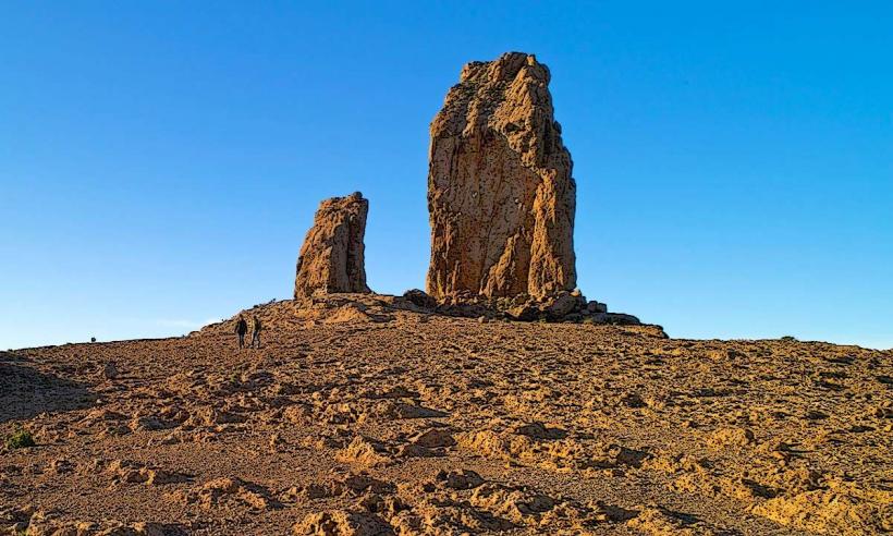
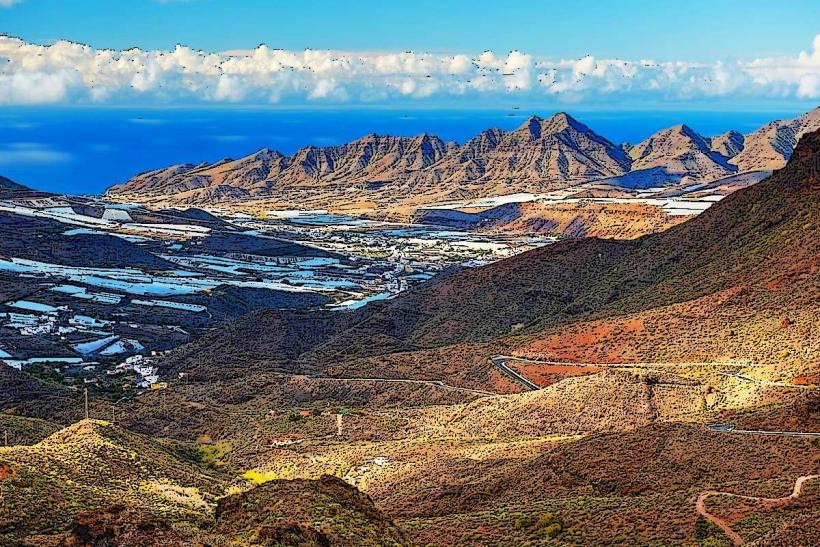
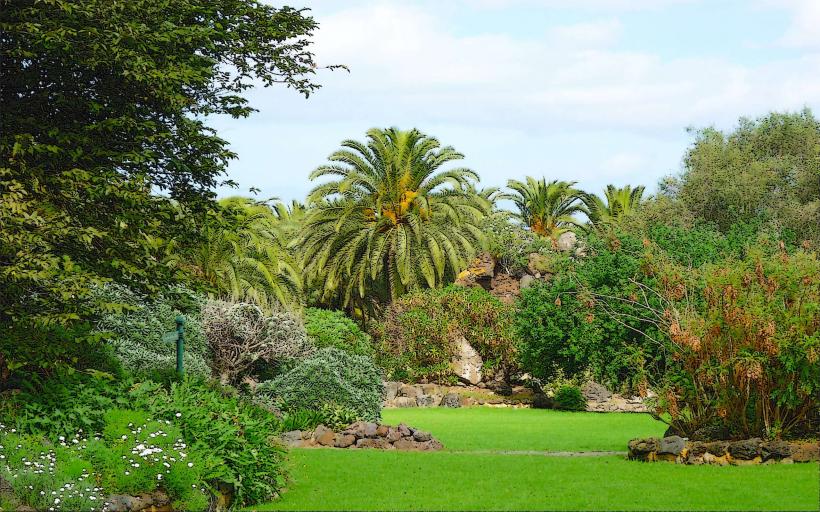
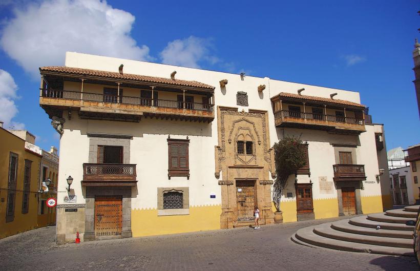
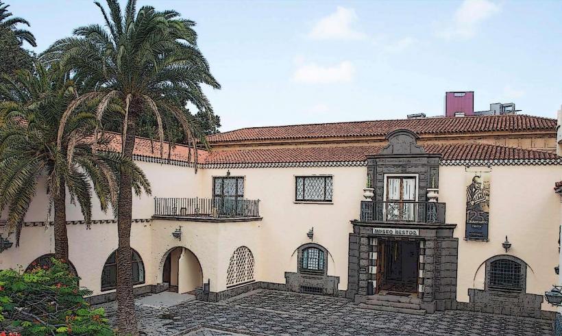
The village of Tejeda features traditional Canarian architecture with white-washed houses, red-tiled roofs, and narrow, winding streets. It is set against a backdrop of the Caldera de Tejeda, a vast erosion caldera. Prominent geological features include the basaltic monoliths of Roque Nublo and Roque Bentayga, which rise sharply from the landscape. The surrounding terrain is marked by steep ravines, pine forests, and terraced fields cultivated with almond trees.
Location & Access Logistics
Tejeda is located approximately 44km southwest of Las Palmas de Gran Canaria. Access is primarily via mountain roads; the GC-15 connects it from the east (via San Mateo), and the GC-60 from the south (via Fataga). The GC-600 also provides access from the north, linking to Cruz de Tejeda. Parking is available in designated village car parks, often requiring a short walk to the central area. Public transport is limited but available; Global Bus line 305 connects Tejeda with San Mateo, and line 323 connects with Las Palmas (via San Mateo), though frequencies are low.
Historical & Ecological Origin
The area around Tejeda has significant pre-Hispanic origins, with archaeological sites like Roque Bentayga serving as ancient aboriginal settlements and sacred places. The village itself developed as an agricultural center, particularly known for its almond production. Ecologically, the Caldera de Tejeda is an erosion caldera, formed by the collapse and subsequent erosion of a large shield volcano, exposing its central volcanic plugs and dykes.
Key Highlights & Activities
Hiking is a primary activity, with trails leading to Roque Nublo and Roque Bentayga offering panoramic views. Visitors can explore the village's artisan shops, which often sell local crafts and almond-based products. The Museo de Esculturas Abraham Cárdenes displays works by the local sculptor. During late January and early February, the Almond Blossom Festival is a significant event.
Infrastructure & Amenities
The village of Tejeda provides public restrooms, several cafes, restaurants, and small grocery stores. There are also a few guesthouses and rural accommodations. Cell phone signal (4G/5G) is generally available within the village and along main roads, though it can be intermittent in deeper ravines. Shade is available under trees in some public squares and within establishments, but exposed hiking trails offer minimal natural shade.
Best Time to Visit
The best time to visit Tejeda for hiking is during the cooler months from October to May, avoiding the intense summer heat. For photography, early morning or late afternoon light provides dramatic shadows and warm tones on the rock formations. The almond blossom season, typically late January to early February, offers a unique visual experience with the landscape covered in white and pink flowers.
Facts & Legends
Tejeda is officially recognized as one of "The Most Beautiful Villages in Spain" (Los Pueblos Más Bonitos de España). A local legend associated with Roque Bentayga speaks of it as a sacred mountain for the ancient Canarians, where rituals and ceremonies were performed, and it served as a natural fortress during the conquest.
Nearby Landmarks
- Roque Nublo: 3.5km South-Southeast
- Roque Bentayga: 4km West
- Cruz de Tejeda: 4.5km North
- Artenara: 8km Northwest
- Mirador de la Degollada de Becerra: 2km East