Information
Landmark: The BasinCity: Lincoln NH
Country: USA New Hampshire
Continent: North America
The Basin, Lincoln NH, USA New Hampshire, North America
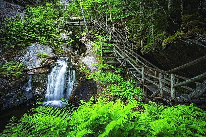
The Basin is a geological formation located in Franconia Notch State Park, near Lincoln, New Hampshire, USA.
It is a large, smooth, pothole carved by glacial meltwater over thousands of years.
Visual Characteristics
The Basin is a circular, granite pothole approximately 20 feet (6 meters) in diameter and 15 feet (4.5 meters) deep. Its walls are smoothed by the action of water and abrasive sediment. The Pemigewasset River flows through it, with water depth varying based on flow rate. Surrounding vegetation consists of mixed deciduous and coniferous trees.
Location & Access Logistics
The Basin is situated directly off Interstate 93 (I-93) at Exit 34B, marked as Franconia Notch State Park. It is approximately 1 mile (1.6 km) north of the Flume Gorge entrance. A dedicated parking area is available adjacent to the site. Access from the parking lot to the Basin is via a paved, accessible walkway approximately 0.1 miles (0.16 km) long.
Historical & Ecological Origin
The Basin was formed by the erosive power of glacial meltwater and the grinding action of rocks and sediment carried by the river during the last Ice Age, estimated to be between 10,000 and 14,000 years ago. It is a classic example of a pothole or giant's kettle, a feature common in glaciated landscapes.
Key Highlights & Activities
Observation of the pothole's formation and the river's flow is the primary activity. Visitors can walk around the perimeter of the Basin on designated paths. Photography of the geological feature and surrounding natural environment is common.
Infrastructure & Amenities
Restrooms are available at the parking area. Limited shade is provided by surrounding trees. Cell phone signal (4G/5G) is generally available in the vicinity. No food vendors are located directly at The Basin; amenities are available at the Flume Gorge visitor center or in the town of Lincoln.
Best Time to Visit
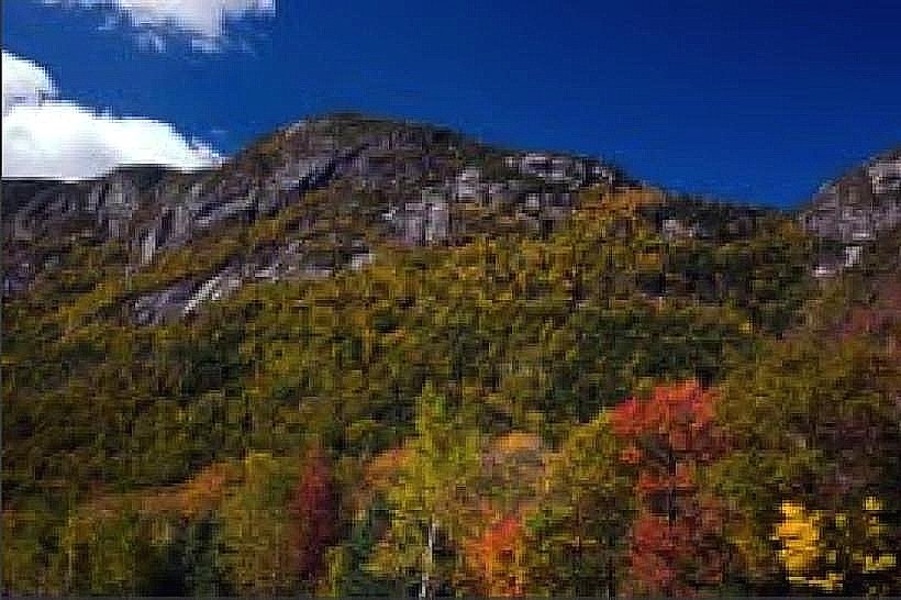
Daylight hours are required for viewing. Spring and early summer offer higher water flow, showcasing the erosive power. Autumn provides foliage viewing opportunities. Access is year-round, but winter conditions may impact accessibility and viewing.
Facts & Legends
Local lore suggests that the depth of The Basin is bottomless, though it is approximately 15 feet deep. The smooth, rounded nature of the rock is a direct result of continuous abrasion by waterborne stones and sand over millennia.
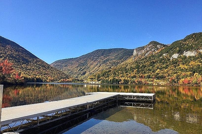
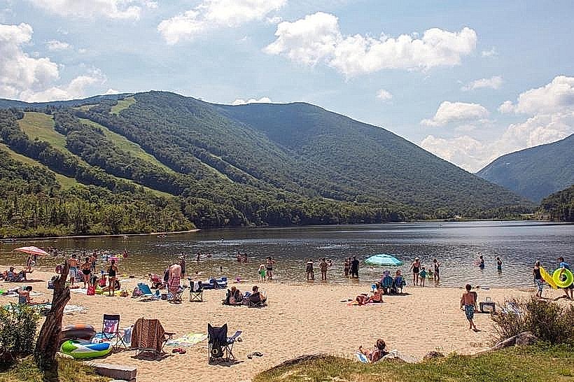
Nearby Landmarks
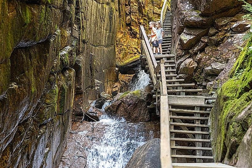
- Flume Gorge (0.1km South)
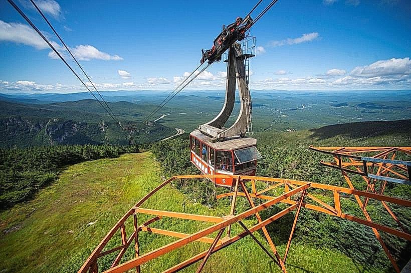
- Cannon Mountain Aerial Tramway (3.5km North)
- Echo Lake State Park (3.0km North)
- Artist's Bluff Trailhead (3.8km North)
- Profile Lake (4.0km North)