Information
Landmark: Trang An Landscape ComplexCity: Ninh Binh
Country: Vietnam
Continent: Asia
Trang An Landscape Complex, Ninh Binh, Vietnam, Asia
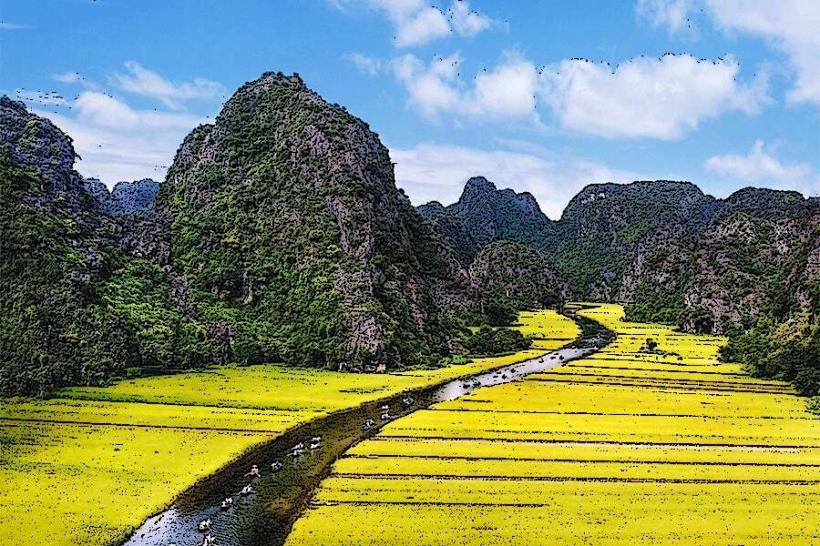
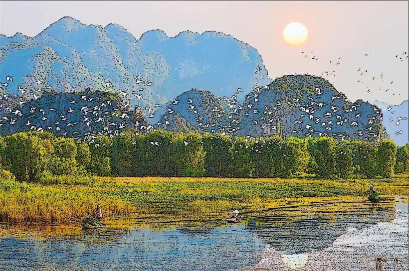
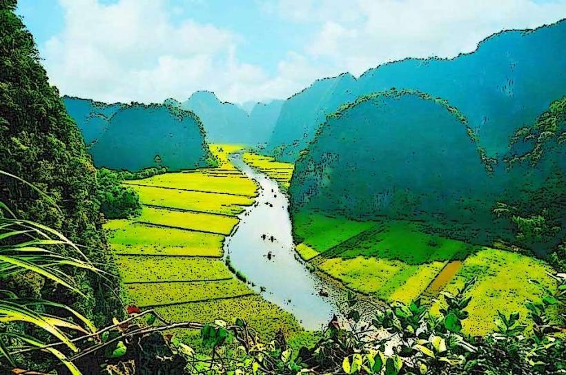
The Trang An Landscape Complex is a UNESCO World Heritage Site located in Ninh Binh Province, Vietnam. It is a karst landscape featuring limestone peaks, valleys, and a network of caves and rivers.
Visual Characteristics
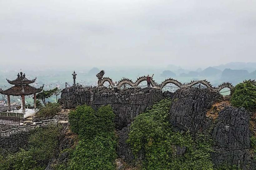
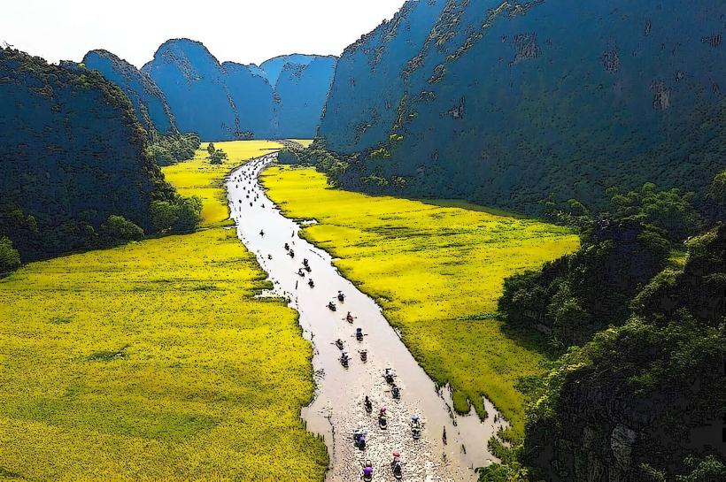
The landscape is characterized by towering limestone karsts, some exceeding 200 meters in height. These formations are covered in dense tropical vegetation. The rivers and waterways are typically clear to slightly murky, reflecting the surrounding greenery and rock faces. The complex includes numerous caves, some of which are submerged and traversable by boat.
Location & Access Logistics
The Trang An Landscape Complex is situated approximately 7 kilometers south of Ninh Binh city center. Access is primarily via provincial road DT477. Private vehicles can park at designated lots near the main boat landing sites. Public bus routes from Ninh Binh city to Trang An are available, with services running frequently. Boat tours are the primary mode of transport within the complex.
Historical & Ecological Origin
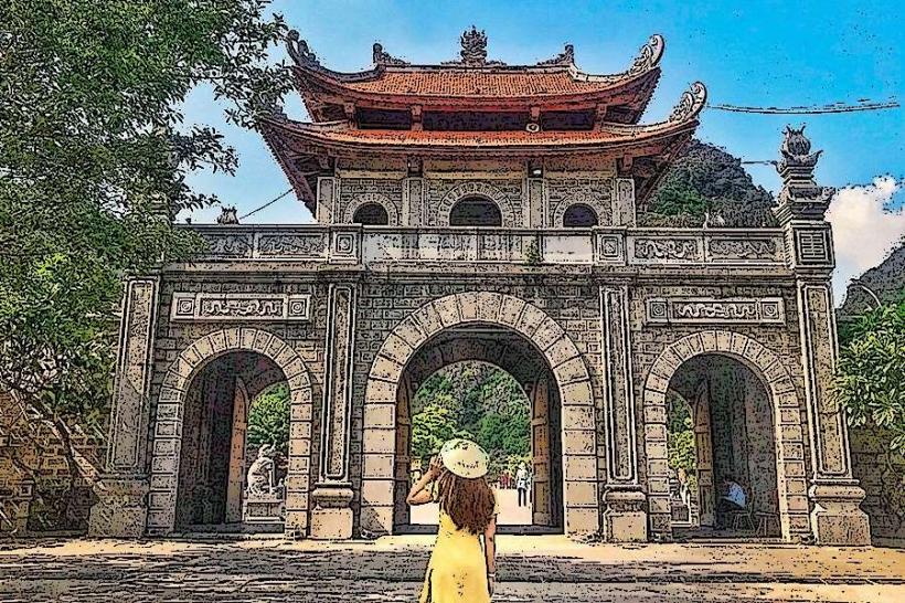
The Trang An Landscape Complex is a karst landscape formed over millions of years through geological processes, including erosion and tectonic uplift. It is classified as a mixed natural and cultural heritage site. Archaeological evidence suggests human habitation dating back over 30,000 years, with findings of ancient tools and artifacts. The area also contains remnants of ancient Vietnamese fortifications.
Key Highlights & Activities
Boat tours are the central activity, navigating through rivers and caves. Specific routes include the "Trang An Grottoes" tour, which visits approximately 12 caves and 3 temples. Kayaking is also offered in designated areas. Hiking trails are present on some of the limestone karsts, providing elevated viewpoints.
Infrastructure & Amenities
Restrooms are available at the main boat landing areas. Shade is provided by natural vegetation and some covered waiting areas. Cell phone signal (4G) is generally available in the vicinity of the main tourist hubs. Food vendors and small restaurants are located near the primary entry points.
Best Time to Visit
The best time of day for photography is generally in the morning or late afternoon when the sunlight creates distinct shadows on the karsts. The dry season, from November to April, offers the most pleasant weather with lower humidity and less rainfall. Boat tours operate year-round, but visibility in caves can be affected by heavy rain.
Facts & Legends
Local legend states that the area was once the capital of the ancient Vietnamese kingdom of Hoa Lư, and that the limestone mountains were created by a dragon descending from the sky. A specific tip for visitors is to book boat tours early in the morning to avoid larger crowds and experience a quieter atmosphere.
Nearby Landmarks
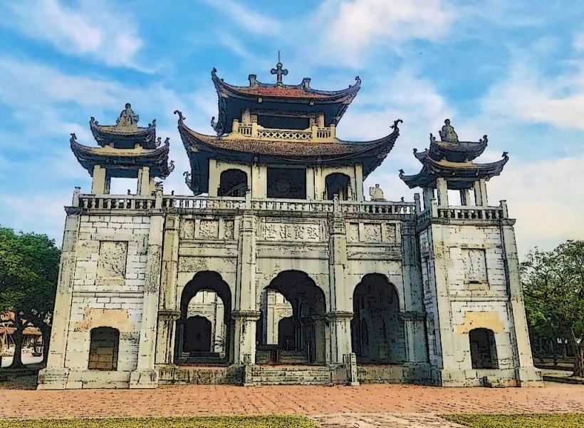
- Hoa Lu Ancient Capital (2.5km Northwest)
- Tam Coc-Bich Dong (7km North)
- Mua Caves (6km North)
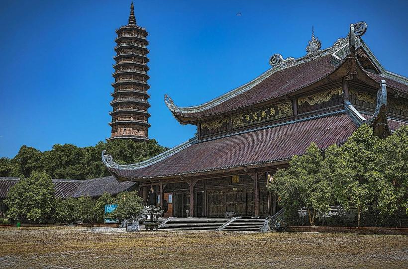
- Bai Dinh Pagoda (5km Northwest)