Information
Landmark: Vasco da Gama BridgeCity: Lisbon
Country: Portugal
Continent: Europe
Vasco da Gama Bridge, Lisbon, Portugal, Europe
Vasco da Gama Bridge (Ponte Vasco da Gama) is a cable-stayed bridge flanked by viaducts that spans the Tagus River in the metropolitan area of Lisbon, Portugal. It is the longest bridge in the European Union, with a total length of 12.3 kilometers (7.6 miles).
Visual Characteristics
The bridge is characterized by its high-density linear profile and two H-shaped main pylons that rise 150 meters above the water. It consists of three distinct sections: the north viaduct, the central cable-stayed span, and the long south viaduct. The structure is built primarily of reinforced concrete. Its design follows a minimalist, functionalist aesthetic, creating a white-grey horizontal line that dominates the horizon of the eastern Tagus estuary.
Location & Access Logistics
The bridge connects Sacavém (near Parque das Nações) on the north bank to Montijo on the south bank.
Road Infrastructure: It carries the A12 motorway. It is a critical link for traffic traveling between Northern/Central Portugal and the South (Alentejo/Algarve), bypassing the central Lisbon corridor.
Tolls: Tolls are collected only from vehicles traveling northbound (entering Lisbon). Southbound travel is toll-free. Electronic and manual payment systems are in operation.
Pedestrian/Cycle Access: Strictly prohibited. The bridge is exclusively for motorized vehicle traffic.
Viewpoints: The best ground-level views are from the Parque das Nações riverfront, specifically near the Myriad by SANA hotel or the Passeio das Tágides.
Historical & Ecological Origin
Inaugurated in March 1998, the bridge was built to coincide with the Expo '98 world fair and to relieve traffic congestion on the 25 de Abril Bridge. It is named after the explorer Vasco da Gama to commemorate the 500th anniversary of his arrival in India (1498). Ecologically, the bridge crosses the Tagus Estuary Nature Reserve. Its design included specific measures to minimize impact on the mudflats, which are vital feeding grounds for migratory birds such as flamingos and spoonbills.
Technical Specifications
Total Length: $12,345$ meters.
Main Span: $420$ meters.
Seismic Resistance: Designed to withstand an earthquake five times stronger than the 1755 Great Lisbon Earthquake.
Curvature: The bridge incorporates a slight curve to compensate for the Earth's curvature, ensuring the 12.3km trajectory remains geometrically accurate.
Infrastructure & Amenities
The bridge features six traffic lanes (expandable to eight). Speed limits are strictly enforced at 120 km/h, reducing to 100 km/h during high winds or adverse weather. Emergency lanes and SOS phones are positioned at regular intervals. 5G cellular coverage is consistent across the entire span.
Best Time to Visit (Observation)
For observation from the riverfront, sunrise provides the most direct lighting on the pylons. In heavy fog, the bridge appears to disappear into the estuary, a common visual phenomenon in the autumn and winter months.
Facts & Legends
A verified historical fact is that during the inauguration, a table was set up along 5 kilometers of the bridge to serve lunch to 15,000 people, setting a world record for the longest dining table. While it lacks ancient legends, its construction was a significant source of environmental debate in the 1990s regarding the preservation of the Tagus wetlands.
Nearby Landmarks
Parque das Nações: At the northern base.
Vasco da Gama Tower: 0.5km North of the entrance.
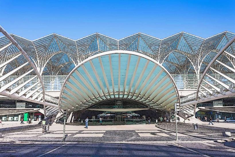
Oriente Station: 1.5km West of the northern access.
Lisbon Airport (LIS): 4.5km West.