Information
Landmark: Ventspils Sea PortCity: Ventspils
Country: Latvia
Continent: Europe
Ventspils Sea Port, Ventspils, Latvia, Europe
Visual Characteristics
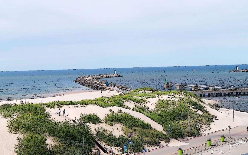
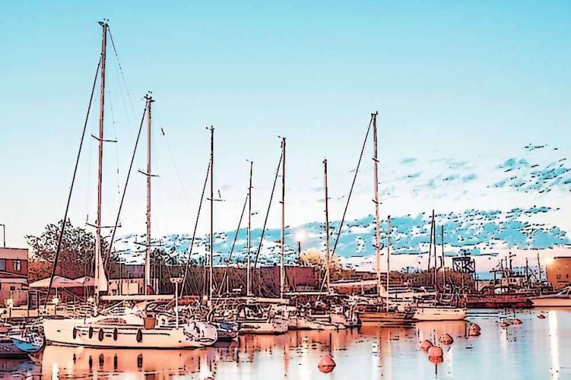
The port features extensive concrete and asphalt quays, numerous large gantry cranes, and industrial storage facilities. Its main infrastructure includes a long northern breakwater and a shorter southern breakwater, constructed from large stone blocks. The water within the port basin is typically dark, reflecting industrial activity.
Location & Access Logistics
The port is situated along the Venta River, directly adjacent to Ventspils city center. Access is primarily via Ostgals Street and Dzintaru Street. Public parking is available near the ferry terminal and specific cargo areas. Local bus lines, such as routes 1, 2, and 3, provide connections to the city center and residential areas, with stops near the port entrance. The ferry terminal is approximately 1.5 km from the city's central market.
Historical & Ecological Origin
The port's origins date back to the 13th century, with significant development occurring during the late 19th and early 20th centuries, particularly under Russian Empire rule. Its primary purpose has consistently been a commercial port for cargo transit, especially for oil and bulk goods, and later for ferry passenger services. Modernization and expansion projects have continued throughout the 20th and 21st centuries.
Key Highlights & Activities
Ferry services to Nynäshamn, Sweden, depart regularly from the passenger terminal. Observation decks near the southern breakwater allow for ship watching. Fishing is permitted from designated areas along the riverbanks adjacent to the port.
Infrastructure & Amenities
Restrooms are available within the ferry terminal building. Limited shade is provided by terminal structures; open areas along the quays offer minimal natural shade. 4G and 5G cell phone signal is consistently strong throughout the port area. A small cafe operates within the ferry terminal, and several food vendors are located within a 0.5 km radius in the city center.
Best Time to Visit
For observing ship movements, late morning to early afternoon offers good visibility. The summer months (June to August) provide the most favorable weather conditions for outdoor viewing. Ferry departures and arrivals occur throughout the day and night, independent of tidal conditions.
Facts & Legends
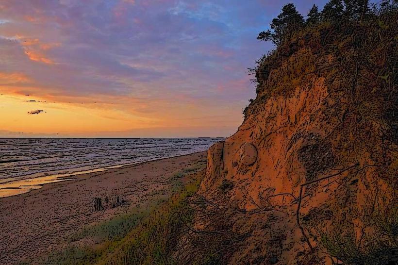
A local tip suggests visiting the Southern Breakwater at sunset for views of ships entering and exiting the port against the horizon. Historically, Ventspils Port was a crucial strategic point during both World Wars due to its ice-free status.
Nearby Landmarks
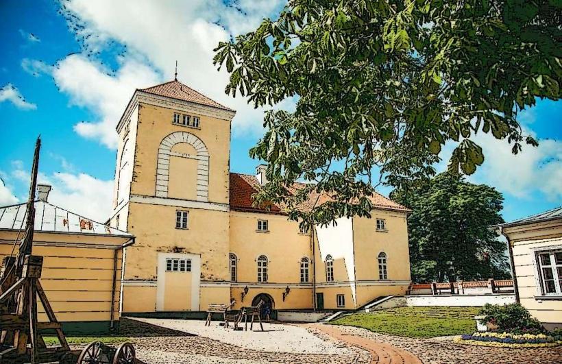
- Ventspils Castle of the Livonian Order: 0.8km East
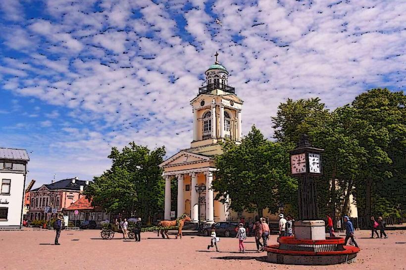
- Ventspils Old Town: 0.5km Southeast
- Ventspils Beach: 1.5km West
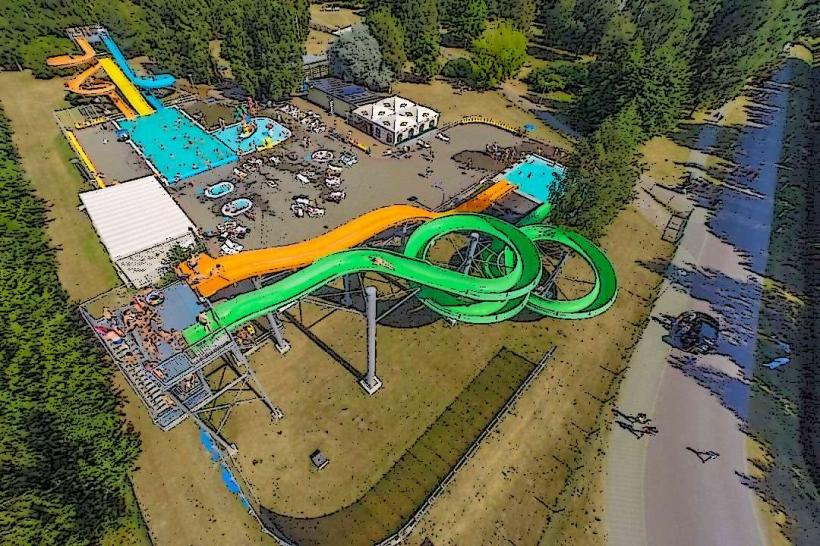
- Ventspils Water Park: 2.0km Southwest
- Ventspils Adventure Park: 2.5km South