Information
City: Abaco IslandsCountry: Bahamas
Continent: North America
Abaco Islands, Bahamas, North America
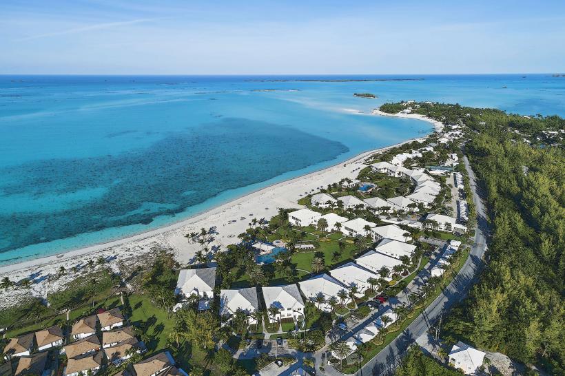
The Abaco Islands are a 190-kilometer-long chain of islands and cays in the northern Bahamas, serving as the nation's primary hub for boat building and recreational sailing. They are located approximately 290 kilometers east of West Palm Beach, Florida.
Historical Timeline
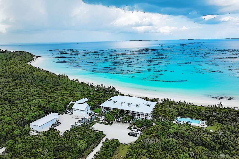
The islands were settled in 1783 by approximately 1,500 British Loyalists fleeing the American Revolution. Governance transitioned from British colonial rule to Bahamian independence in 1973. The most significant architectural reconstruction occurred after September 1, 2019, following Hurricane Dorian, a Category 5 storm that leveled Marsh Harbour and Hope Town. The primary event shaping the current urban form is this post-2019 rebuilding effort, which has replaced historic wooden structures with reinforced concrete and hurricane-rated modular builds.
Demographics & Population
The total population is approximately 17,200 residents. The top three ethnic demographics are Afro-Bahamian (75%), European/White (20%), and Haitian (5%). The median age is approximately 35.1 years.
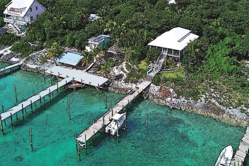
Urban Layout & Key Districts
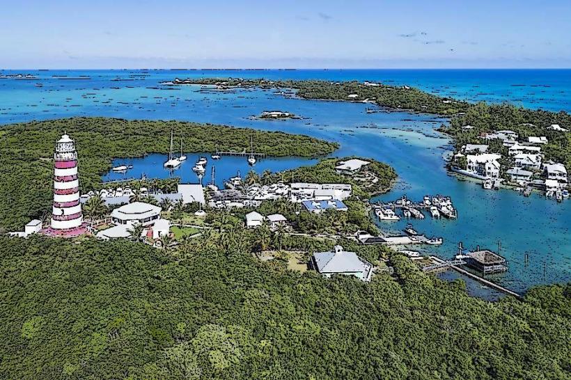
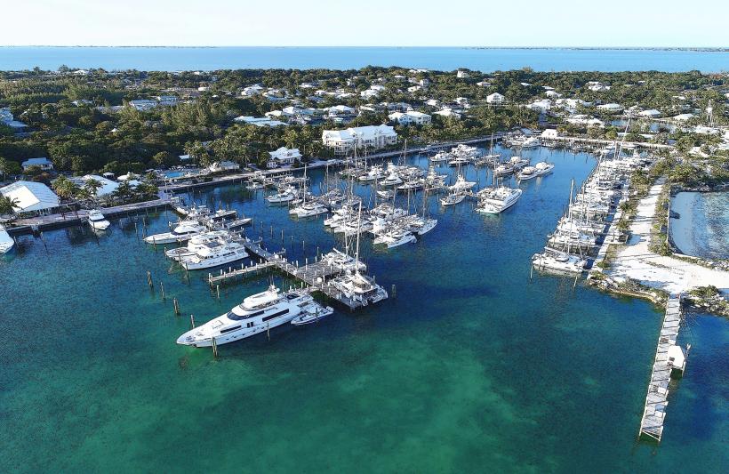
The Abacos are organized into Great Abaco (the mainland) and a string of barrier cays. The 2 most important districts are Marsh Harbour (the commercial and logistics center on Great Abaco) and Hope Town (the historic and tourism hub on Elbow Cay, located East via ferry).
Top City Landmarks
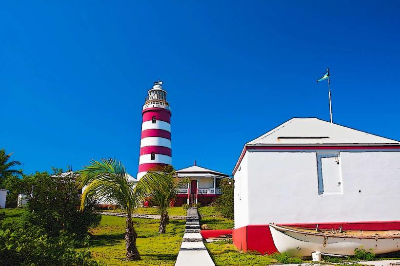
Elbow Reef Lighthouse (Hope Town)
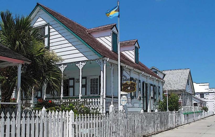
Wyannie Malone Historical Museum
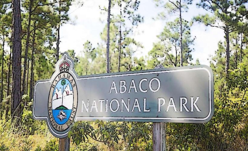
Pelican Cays Land and Sea Park
Man-O-War Cay Boatyards
Transportation Network
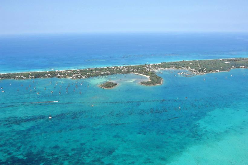
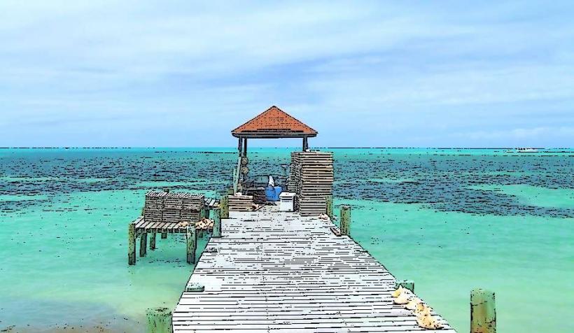
Movement on the mainland requires a rental car or private vehicle. Between cays, transport is facilitated by Albury’s Ferry Service and private water taxis departing from Marsh Harbour. There is no metro or tram system. Ride-sharing apps do not operate; transport relies on official taxis with yellow "TN" plates. Traffic density is low, though golf carts are the primary mode of transport within the cays of Hope Town and Green Turtle Cay.
Safety & "Red Zones"
The general safety level is high. There are no specific "red zones," though visitors should exercise standard caution in the Mud and Peas areas of Marsh Harbour, which are informal settlement zones undergoing reconstruction. Common scams are rare, but boat theft is a persistent maritime security concern.
Digital & Financial Infrastructure
Internet speeds average 25–50 Mbps. Main mobile carriers are Aliv and BTC. Card acceptance is high in Marsh Harbour and major marinas, but cash (BSD/USD) is mandatory for ferry tickets and local vendors on the smaller cays. ATMs are available in Marsh Harbour and at the entrance to Hope Town.
Climate & Air Quality
Temperatures range from 18°C to 26°C in winter and 24°C to 31°C in summer. Air quality is exceptionally high. The primary weather risk is the Atlantic hurricane season (June–November), and the islands are frequently subject to winter "Northers" that can disrupt maritime travel between the cays.
Culture & Social Norms
Tipping of 15% is standard. Formal greetings ("Good morning/afternoon") are a mandatory social requirement. Dress code is casual-nautical; swimwear is prohibited in shops and restaurants. The islands maintain a distinct Loyalist heritage, particularly in boat-building techniques on Man-O-War Cay where alcohol sales are prohibited.
Accommodation Zones
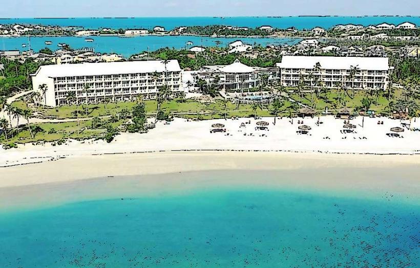
Hope Town (Elbow Cay): Stay here for historic charm, pedestrian-friendly streets, and high-end dining.
Marsh Harbour: Stay here for logistical access to the airport, supermarkets, and yacht charter bases.
Local Cost Index
1 Espresso: 6.00 BSD ($6.00)
1 Standard Lunch: 30.00 BSD ($30.00)
1 Ferry Ticket (Round trip): 30.00 BSD ($30.00)
Nearby Day Trips
Green Turtle Cay: 40 km (20-minute ferry from Treasure Cay)
No Name Cay (Pig Beach): 45 km (Boat access only)
Man-O-War Cay: 10 km (20-minute ferry from Marsh Harbour)
Tahiti Beach: 12 km (Boat or golf cart from Hope Town)
Facts & Legends
The Elbow Reef Lighthouse is the last manual, kerosene-fueled, wick-turning lighthouse in the world; it must be hand-cranked every two hours by a keeper to keep the lens rotating. A local legend involves the "Lucayan bones" found in the blue holes of the Abacos, believed to be the remains of the original inhabitants who hid in the caves to escape Spanish slavers. Another verified historical oddity is the "Abaco Wild Horse" population, which were descendants of Spanish colonial horses that survived on the islands for centuries before going extinct in 2015.