Information
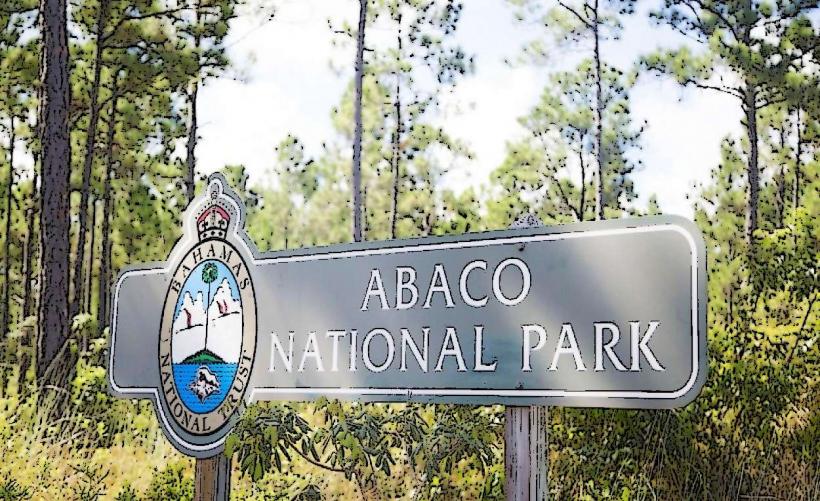
Landmark: Sandy PointCity: Abaco Islands
Country: Bahamas
Continent: North America
Sandy Point, Abaco Islands, Bahamas, North America
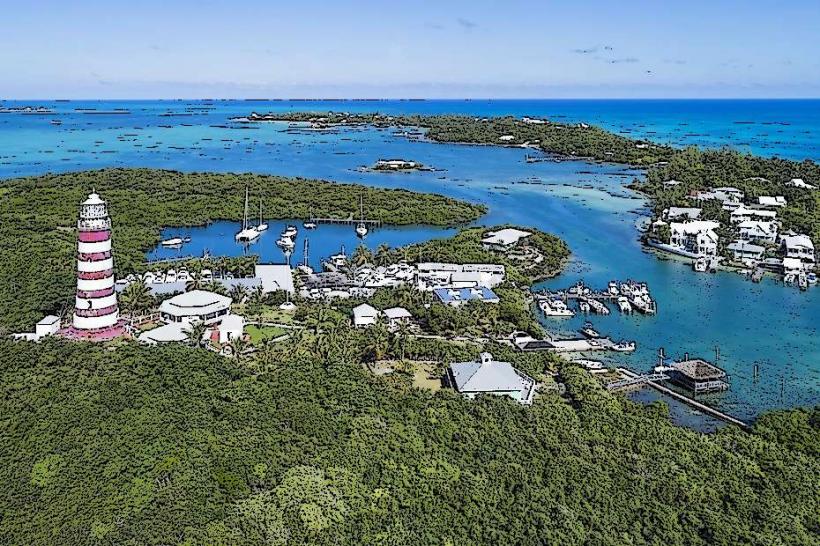
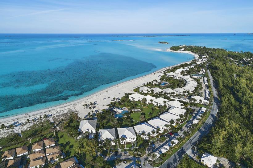
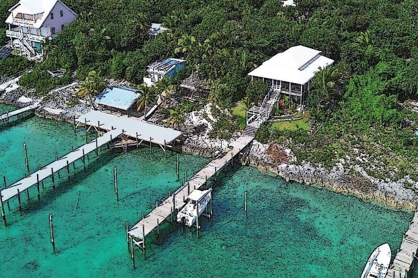
Sandy Point is a settlement located on the southwestern tip of Great Abaco Island in the Abaco Islands, Bahamas.
This area is characterized by its low-lying coastal terrain and proximity to the Atlantic Ocean.
Visual Characteristics
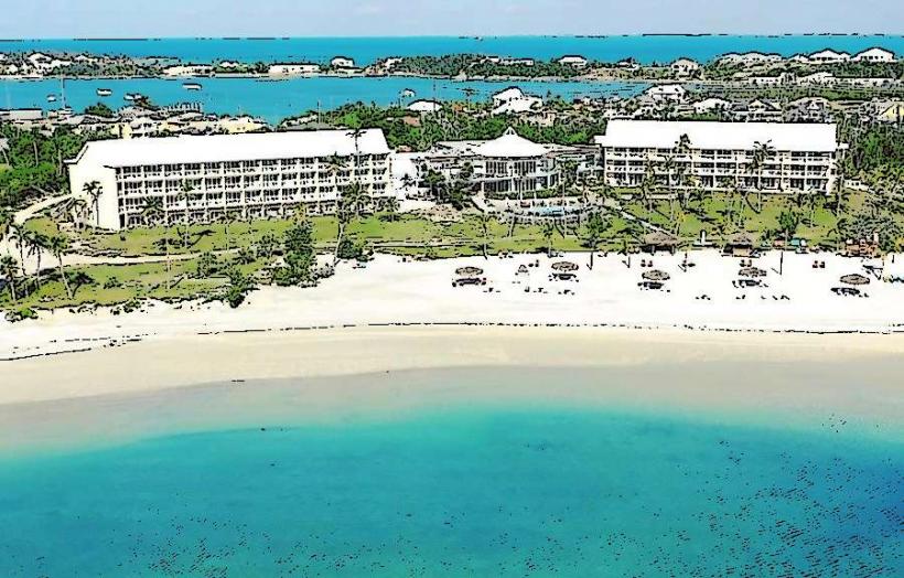
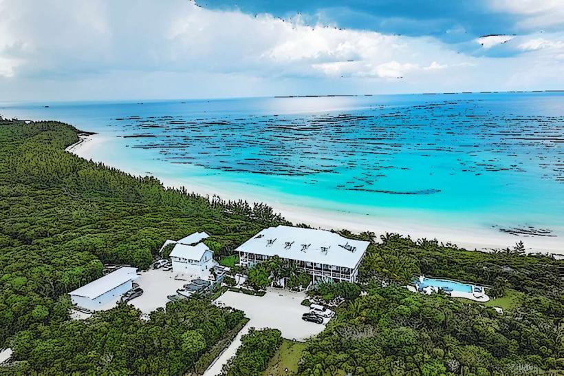
The settlement consists of low-rise residential structures, primarily constructed from concrete and wood, painted in various pastel colors. The coastline features sandy beaches with fine, light-colored sand. The water offshore is shallow and exhibits shades of turquoise and light blue, transitioning to deeper blues further from the shore. Vegetation is sparse, consisting mainly of low scrub and palm trees.
Location & Access Logistics
Sandy Point is situated approximately 80 kilometers (50 miles) southwest of Marsh Harbour, the main population center of Great Abaco. Access is primarily via the Queen's Highway, which runs the length of Great Abaco Island. The settlement is at the terminus of this road. There is a small public parking area near the main beach access. Public transportation is limited; private vehicle rental or taxi services from Marsh Harbour are the most common methods of arrival. There are no scheduled ferry services directly to Sandy Point.
Historical & Ecological Origin
Sandy Point originated as a small fishing and agricultural community. Its development is tied to the historical settlement patterns of the Abaco Islands, which were initially populated by Loyalists following the American Revolution. Ecologically, the area is part of a shallow marine shelf environment, influenced by tidal patterns and the Bahamian coral reef system.
Key Highlights & Activities
Activities include beachcombing along the shoreline. Fishing is a common local pursuit. Birdwatching is possible, particularly for shorebirds. Boat launching is feasible from designated points, allowing access to nearby shallow waters for exploration.
Infrastructure & Amenities
Restrooms are available at a small public facility near the beach access point. Limited shade is provided by natural vegetation and some scattered structures. Cell phone signal (4G) is generally available within the settlement. Food vendors are not consistently present; visitors typically rely on provisions brought from larger settlements or local residences if arrangements are made.
Best Time to Visit
The best time for visiting is during the dry season, from December to April, when temperatures are moderate and rainfall is minimal. Mid-morning offers good natural light for photography of the coastal landscape. High tide is generally preferred for accessing certain shallow water areas by boat.
Facts & Legends
A local anecdote suggests that the name "Sandy Point" derives from the unusually fine and extensive sand deposits that characterize the area, making it a prominent feature visible from the sea.
Nearby Landmarks
- Cherokee Sound (15km Northeast)
- Little Harbour (25km East)
- Moore's Island (30km Southeast, accessible by boat)
- Elbow Cay (40km East, accessible by boat)