Information
City: La CeibaCountry: Honduras
Continent: North America
La Ceiba, Honduras, North America
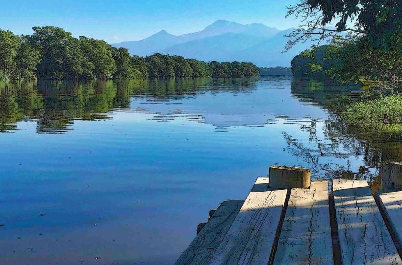
La Ceiba is the capital of the Atlántida department and serves as the primary gateway for eco-tourism and the maritime transit point to the Bay Islands. It is located on the northern Caribbean coast of Honduras, situated at the base of the Nombre de Dios mountain range.
Historical Timeline
La Ceiba was officially founded on August 23, 1877, evolving from a small settlement under a giant ceiba tree into a major industrial port. Its development was governed by the rise of the banana industry, dominated by the Standard Fruit Company (now a subsidiary of Dole) throughout the early to mid-20th century. The most significant modern reconstruction followed Hurricane Mitch in 1998, which destroyed the town's primary bridge and railway infrastructure. The arrival of North American banana companies in the late 19th century is the primary event that dictated the current urban grid and its historic "Barrio Inglés" district.
Demographics & Population
The total population within the municipality is approximately 232,000, with an urban core of 216,000. The demographics consist of Mestizo (85%), Garifuna/Black (3%), Amerindian (6%), and Caucasian (6%). The median age of the population is approximately 25 years.
Urban Layout & Key Districts
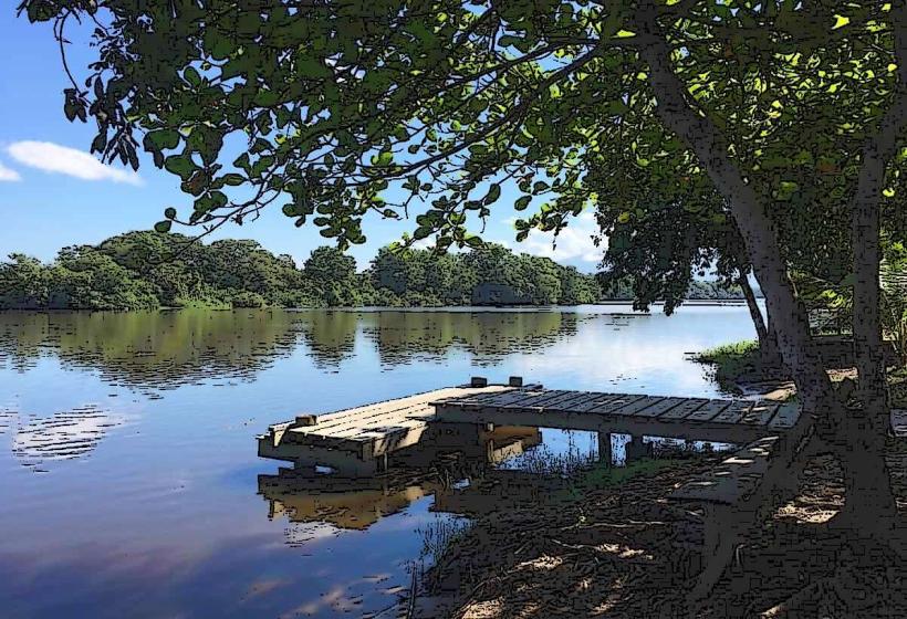
The city is bounded by the Caribbean Sea to the north and the Pico Bonito foothills to the south, with the Cangrejal River defining the eastern edge. The Historic Center (Central Park area) serves as the administrative core. Barrio Inglés (Northwest) is the oldest residential district, known for its wooden colonial architecture, while Barrio El Imán and the "Zona Viva" along the coastline are the primary hubs for dining and nightlife.
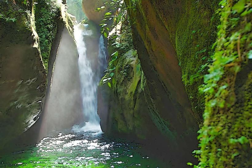
Top City Landmarks
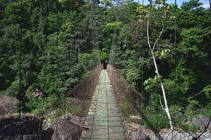
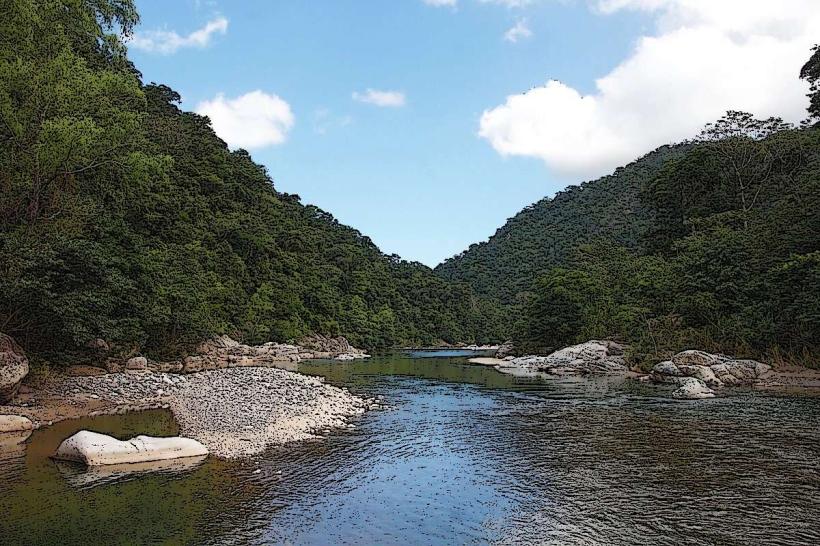
Parque Nacional Pico Bonito
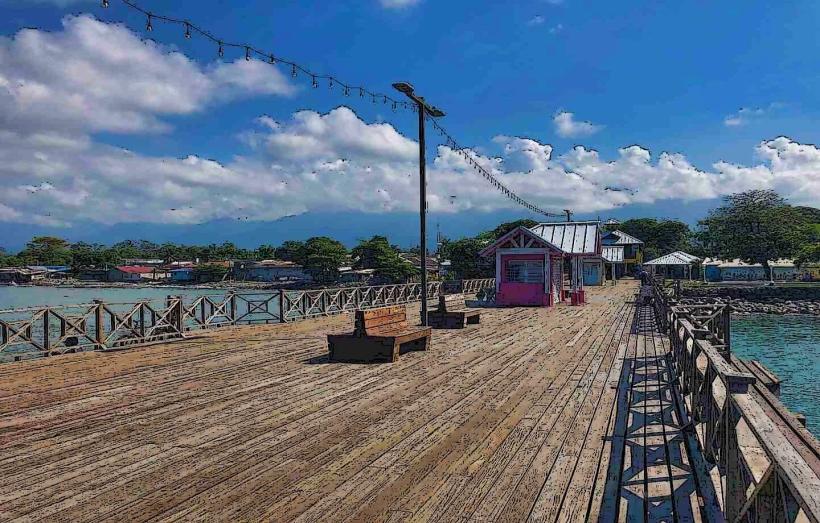
Paseo de los Ceibeños (Waterfront Promenade)
Swinford Park (Railroad History Park)
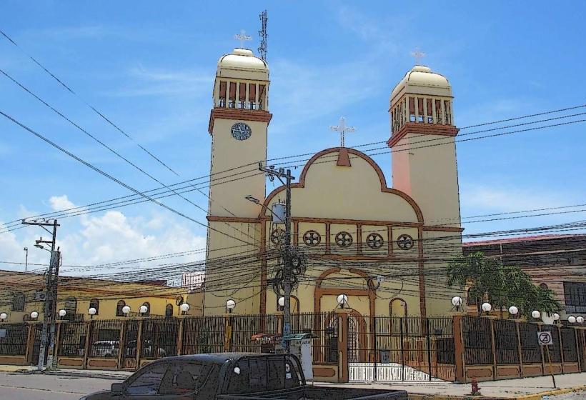
Catedral San Isidro
Malecón Guillermo Anderson
Transportation Network
Movement within the city is conducted via route taxis (colectivos) and private minibuses. There are no metro or tram systems. Ride-sharing is available through Uber and InDrive, though less frequent than in the larger hubs of San Pedro Sula. Official taxis are white and must be hailed from "puntos" or hotels for security. Traffic density is high on Avenida San Isidro and the CA-13 highway during morning and late afternoon commute hours.
Safety & "Red Zones"
The general safety level is low to moderate. Explicit "red zones" to avoid include Barrio La Isla at night, the "Sector Bonitillo," and the area surrounding the main bus terminal after dark. Common scams involve unlicensed "tour guides" at the ferry terminal and aggressive panhandling near Central Park.
Digital & Financial Infrastructure
Average internet speed is 40 Mbps via fiber. Main mobile carriers are Tigo and Claro. Card acceptance is high in hotels, supermarkets, and the Megaplaza Mall, but the city remains cash-heavy for small shops and transportation. ATMs are ubiquitous in the city center and shopping malls, with Banco Atlántida being the primary local institution.
Climate & Air Quality
Temperatures range from 20°C to 32°C. La Ceiba is one of the wettest cities in Central America, with peak rainfall during the "Norte" season from October to February. Weather risks include severe flash flooding from the Cangrejal River and storm surges. Air quality is generally high due to the lack of heavy industrial manufacturing and proximity to the rainforest.
Culture & Social Norms
Tipping of 10% is expected in restaurants (often included as "propina"). Standard greetings involve a handshake and "Buenas" or "Hola"; Garifuna culture in the area may include more informal, vibrant social interactions. Dress codes are casual due to the heat, but conservative attire is required for government and religious buildings. Public smoking and drinking are common but legally restricted in enclosed public spaces.
Accommodation Zones
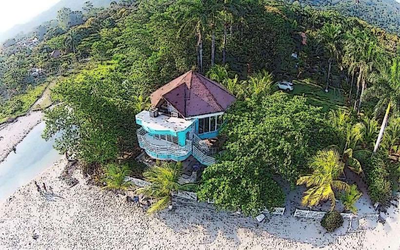
Zona Viva/Barrio El Imán: Stay here for direct beach access and walking distance to the best restaurants.
Cangrejal River Valley: Stay in the eco-lodges (15 mins south) for quiet, nature-focused access to the national park.
Local Cost Index
1 Espresso: L45.00 ($1.80)
1 Standard Lunch (Baleada and Juice): L130.00 ($5.25)
1 Taxi Trip (Collective): L25.00 ($1.00)
Nearby Day Trips
Cayos Cochinos: 20 km offshore (45 mins by boat)
Pico Bonito Hiking: 10 km (15 mins)
Sambo Creek (Hot Springs): 20 km (25 mins)
Cuero y Salado Wildlife Refuge: 30 km (40 mins)
Facts & Legends
A localized historical oddity is the "Rain of Fish" (Lluvia de Peces), which traditionally occurs in the nearby department of Yoro but is a central part of north coast folklore. In La Ceiba specifically, legends often surround the "Cegua," a shapeshifting woman with the head of a horse who lures drunk men into the deep jungle. Additionally, locals maintain a superstitious reverence for the massive Ceiba tree that gave the city its name; it was believed to be a "ladder to the heavens" by the Maya, and the city’s founding myth holds that as long as Ceiba trees thrive in the valley, the port will remain prosperous.