Information
Landmark: Cangrejal RiverCity: La Ceiba
Country: Honduras
Continent: North America
Cangrejal River, La Ceiba, Honduras, North America
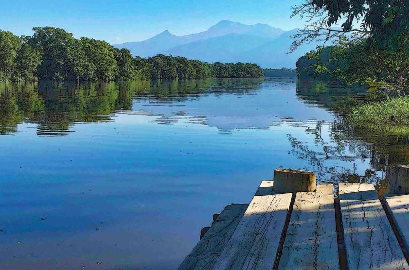
The Cangrejal River is a significant waterway located near La Ceiba, Honduras. It is known for its rapid currents and surrounding rainforest.
Visual Characteristics
The river exhibits clear, fast-flowing water, often with a greenish hue due to mineral content and surrounding vegetation. The riverbanks are characterized by dense tropical rainforest, featuring a variety of tree species, ferns, and epiphytes. Rock formations, including boulders and exposed bedrock, are common along the river's course.
Location & Access Logistics
The Cangrejal River is situated approximately 10 kilometers east of La Ceiba's city center. Access is primarily via the CA-13 highway, turning onto the unpaved road leading towards Pico Bonito National Park. Several eco-lodges and tour operators have established access points along this road. Parking is available at designated lodges and tour operator bases. Public transport to the general area is limited; local buses run along the CA-13, requiring a subsequent taxi or pre-arranged transfer to reach specific river access points.
Historical & Ecological Origin
The Cangrejal River is a natural geological formation, carved over millennia by tectonic activity and erosion within the Northern Honduras mountain range. Its ecological significance lies in its position within the Mesoamerican Biological Corridor, supporting a rich biodiversity characteristic of a tropical rainforest ecosystem.
Key Highlights & Activities
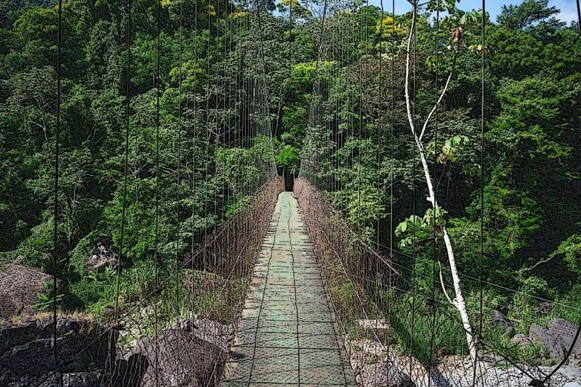
White-water rafting is a primary activity, with Class III and IV rapids available. Kayaking and river tubing are also offered. Hiking trails lead into the surrounding rainforest, providing opportunities for birdwatching and wildlife observation. Swimming is possible in calmer sections of the river during low-flow periods.
Infrastructure & Amenities
Basic infrastructure is provided by the eco-lodges and tour operators located along the river. These typically include restrooms, on-site dining, and shaded seating areas. Cell phone signal (4G/5G) is generally inconsistent and limited to specific lodge locations. Food vendors are not typically found directly at the river access points; meals are usually provided by lodges or tour packages.
Best Time to Visit
The dry season, from December to April, offers the most consistent weather for outdoor activities. The river's water levels are generally lower during this period, making rafting more predictable. For photography, early morning and late afternoon provide optimal lighting conditions due to the rainforest canopy. High tide is not a relevant factor for this river.
Facts & Legends
Local folklore suggests that the river's rapids are the result of ancient spirits guarding the rainforest. A specific tip for visitors is to carry insect repellent, as mosquitoes and other biting insects are prevalent in the humid environment.
Nearby Landmarks
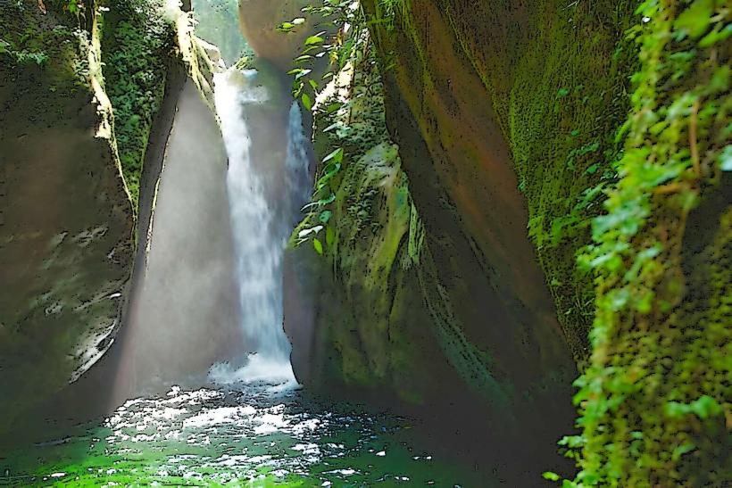
- Pico Bonito National Park (0.5km North)
- Honduras Caribbean Coast (5km North)
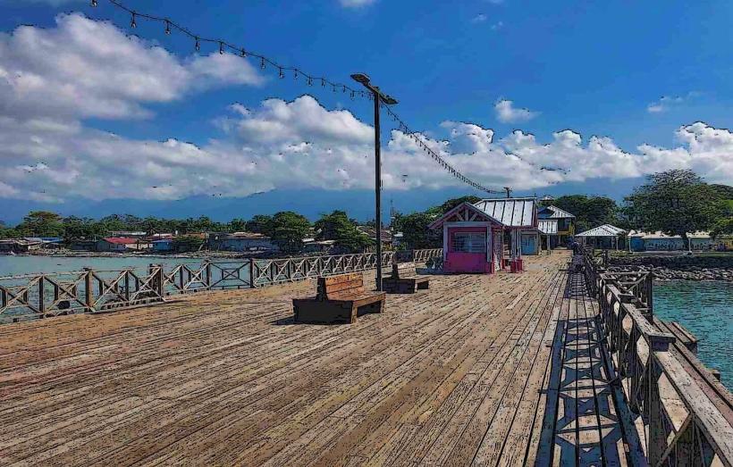
- La Ceiba City Center (10km West)
- Cuero y Salado Wildlife Refuge (15km West)