Information
City: PlacenciaCountry: Belize
Continent: North America
Placencia, Belize, North America
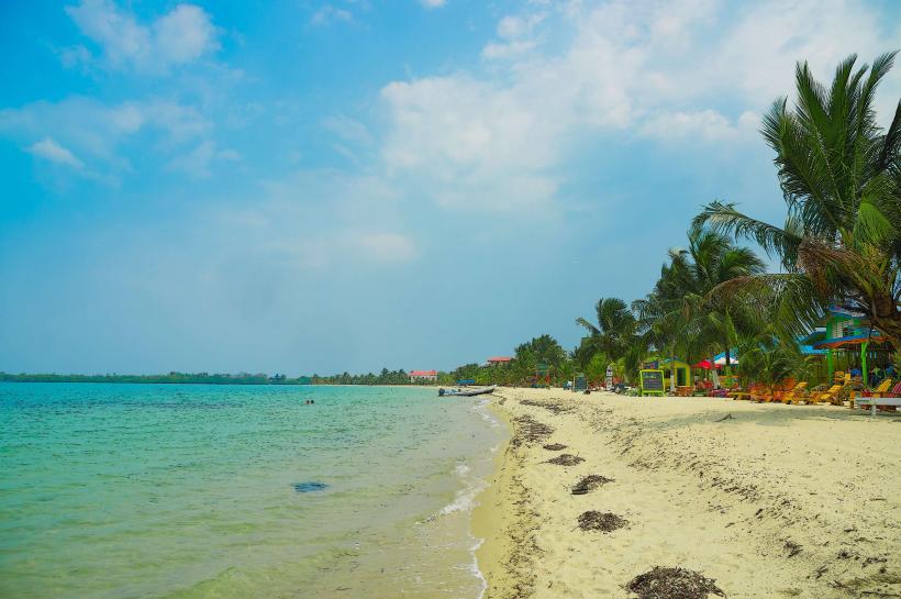
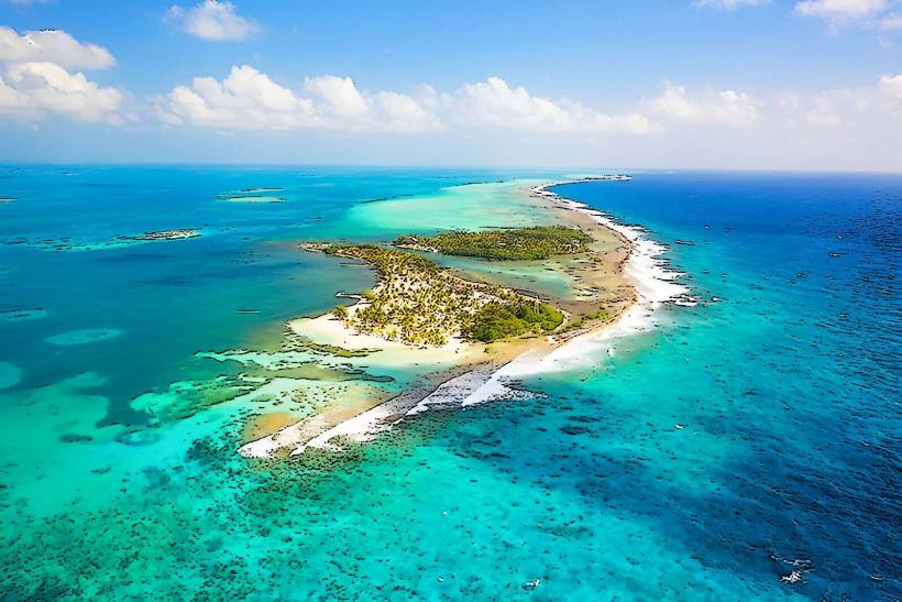
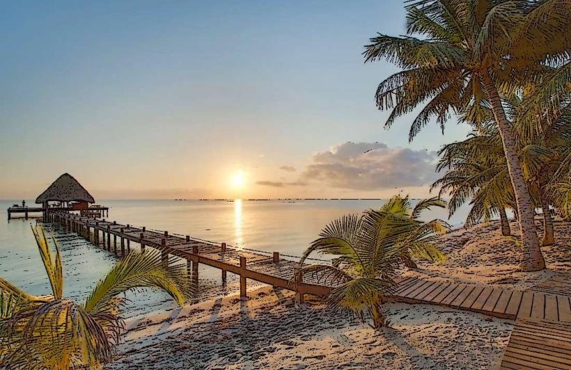
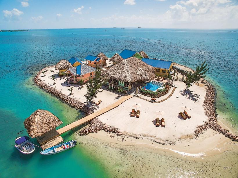
Placencia is a coastal village located at the southern tip of the 26 km long Placencia Peninsula in the Stann Creek District. It is characterized by its white sand beaches, calm lagoon waters, and proximity to the southern section of the Belize Barrier Reef.
Historical Timeline
17th Century: Originally settled by English Puritans who were later expelled by the Spanish.
1800s: Re-established as a small fishing village by settlers from the Cayes and nearby coastal regions.
2001: Devastated by Hurricane Iris, leading to a massive reconstruction effort that transitioned the village from fishing to high-end tourism.
2010–Present: Emerged as the primary luxury alternative to Ambergris Caye.
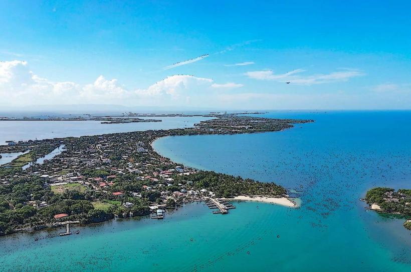
Urban Layout & Districts
The Sidewalk: A narrow, 1.2 km concrete pedestrian path that runs through the center of the village. It was once listed in the Guinness Book of World Records as the narrowest main street in the world.
Placencia Village: The southern tip, containing the majority of guest houses, local restaurants, and the main pier.
Maya Beach: A residential and resort area located approximately 10 km north of the village center.
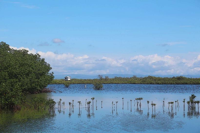
Placencia Lagoon: The western side of the peninsula, providing a sheltered habitat for manatees and access to mangrove forests.
Top Landmarks & Attractions
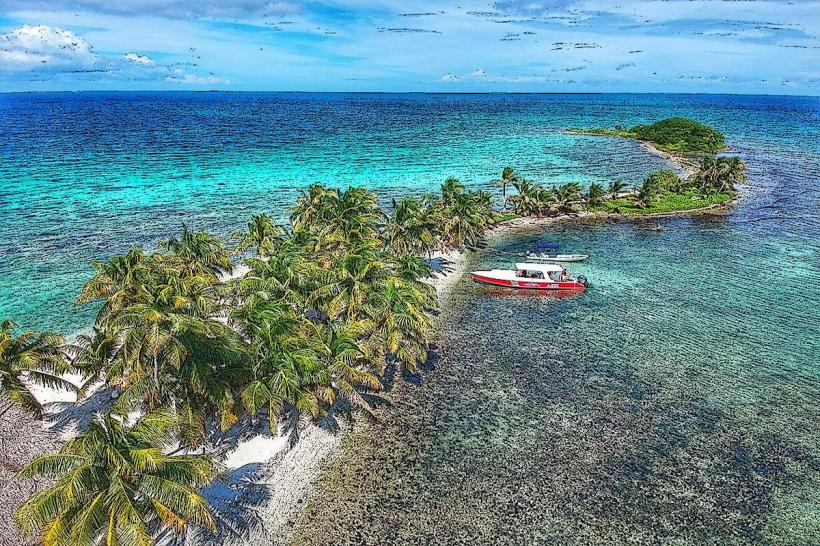
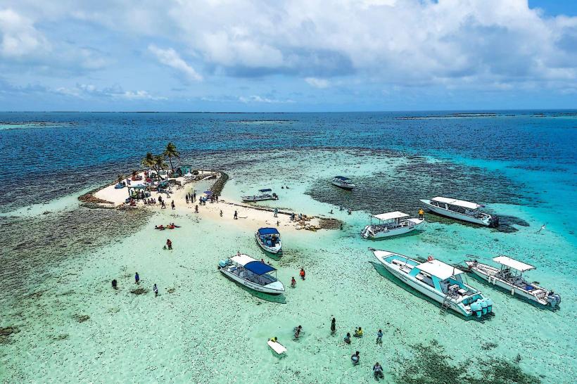
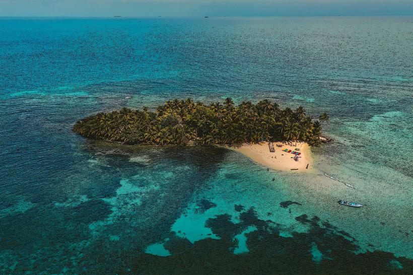
Laughing Bird Caye National Park: A UNESCO World Heritage site located 18 km offshore, offering world-class snorkeling and diving on a faro (a shelf atoll).
Gladden Spit: A marine reserve to the east, famous as a gathering spot for Whale Sharks during the full moons of March through June.
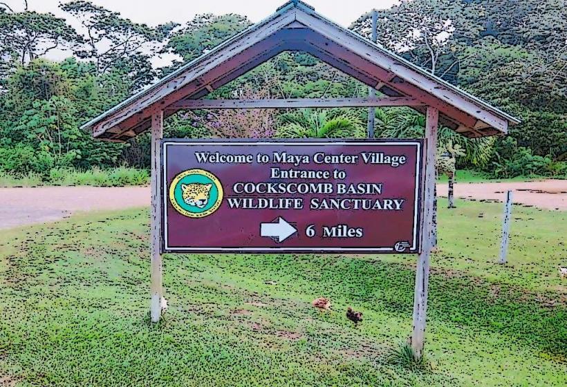
Cockscomb Basin Wildlife Sanctuary: Located on the mainland, approximately 1 hour away; it is the world’s only dedicated jaguar preserve.
Monkey River: Accessible by a 45-minute boat ride south, providing sightings of howler monkeys, crocodiles, and exotic birds.
Transportation & Logistics
Air: Placencia Airport (PLJ) is a small airstrip 3 km north of the village, served by daily flights from Belize City via Tropic Air and Maya Island Air (approx. 35 minutes).
Road: Accessible via the southern highway and the paved Placencia Road. The drive from Belize City takes 3.5 to 4 hours.
On-Island: Golf carts and bicycles are the primary modes of transport. Taxis are available for transit between the village and Maya Beach.
Safety & Health
Safety: One of the safest destinations in Belize. Petty crime is rare, though standard precautions with valuables on the beach are advised.
Health: The Placencia Health Center handles minor issues. For emergencies, patients are typically stabilized and flown to Belize City or transported to the Southern Regional Hospital in Dangriga.
Environment: Sandflies (no-see-ums) can be prevalent on the beaches, particularly at dawn and dusk or when the wind drops.
Digital & Financial Infrastructure
4G and 5G coverage is reliable throughout the peninsula. High-speed Wi-Fi is standard in most resorts. There are several ATMs in the village center (Atlantic Bank and Belize Bank). The exchange rate is fixed at $2.00 BZD = $1.00 USD.
Ecology & Climate
Marine Life: The lagoon is a critical nursery for West Indian Manatees. Interaction is strictly regulated.
Geography: Unlike the northern Cayes, the peninsula is attached to the mainland, allowing for easy access to jungle adventures while maintaining a Caribbean beach atmosphere.
Local Cost Index
1 Espresso: ~$7.00 BZD ($3.50 USD)
1 Scoop of Gelato (Tutti Frutti): ~$8.00 BZD ($4.00 USD)
1 Whale Shark Tour: ~$400.00 – $550.00 BZD ($200.00 – $275.00 USD)
Facts & Legends
A verified geographical fact is that the Placencia Peninsula is actually a massive sandspit, making its shoreline highly dynamic and prone to erosion compared to the rocky mainland. Local legend speaks of the "Old Man of the Sea," a protector spirit said to guide lost fishermen through the complex mangrove channels of the lagoon during tropical storms.