Information
Landmark: Placencia BeachCity: Placencia
Country: Belize
Continent: North America
Placencia Beach, Placencia, Belize, North America
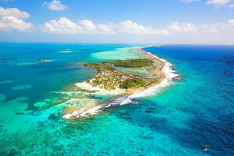
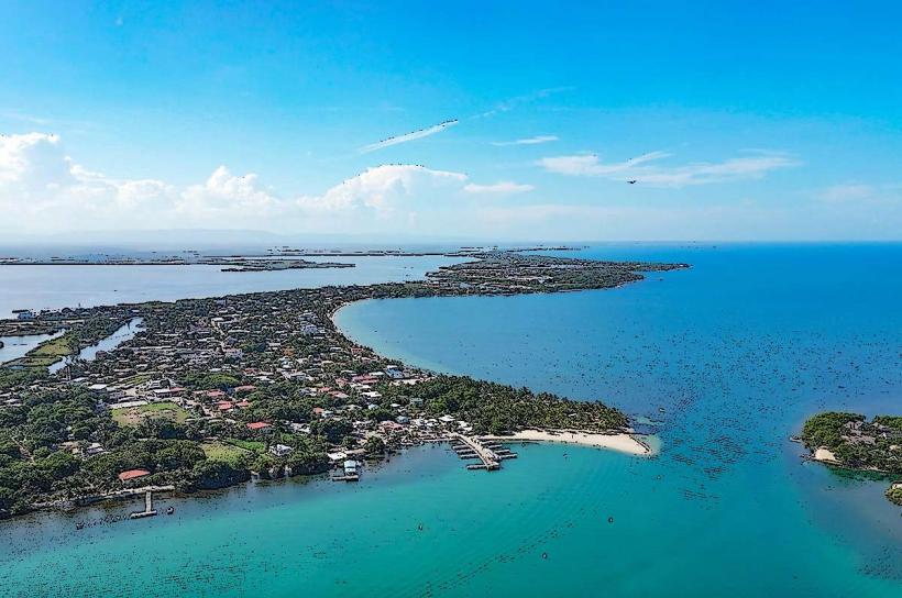
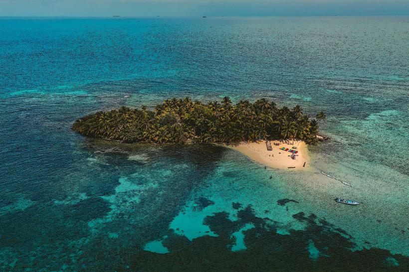
Placencia Beach is a 16-mile-long peninsula located in the Stann Creek District of Belize, extending south from the mainland town of Placencia.
Visual Characteristics
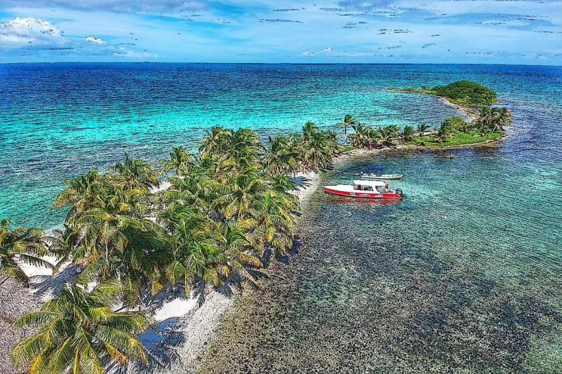
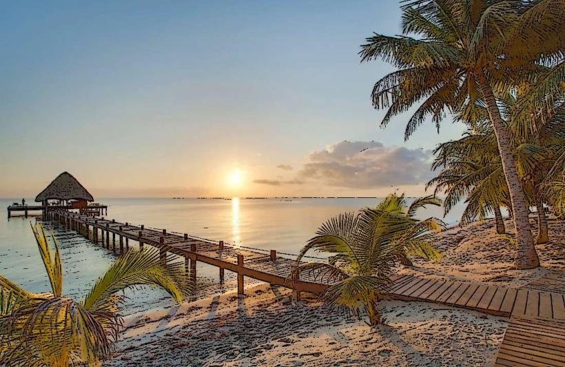
The beach consists of fine, light-tan sand. The Caribbean Sea adjacent to the beach exhibits clear, turquoise water. The peninsula is characterized by a narrow strip of land with coconut palms and other tropical vegetation.
Location & Access Logistics
Placencia Beach is accessible via Placencia Village. From the Philip S. W. Goldson International Airport (BZE) in Belize City, travel approximately 130 miles south on the Southern Highway. Turn east onto the Placencia Road, which leads directly to the peninsula. Parking is available in Placencia Village, with limited street parking along the beach road. Local buses operate from Belize City to Placencia Village. Water taxis are also available for transport to nearby islands.
Historical & Ecological Origin
Placencia Beach is a natural sand spit formed by marine currents and sediment deposition over millennia. It is part of the Mesoamerican Barrier Reef System, the second-largest barrier reef in the world.
Key Highlights & Activities
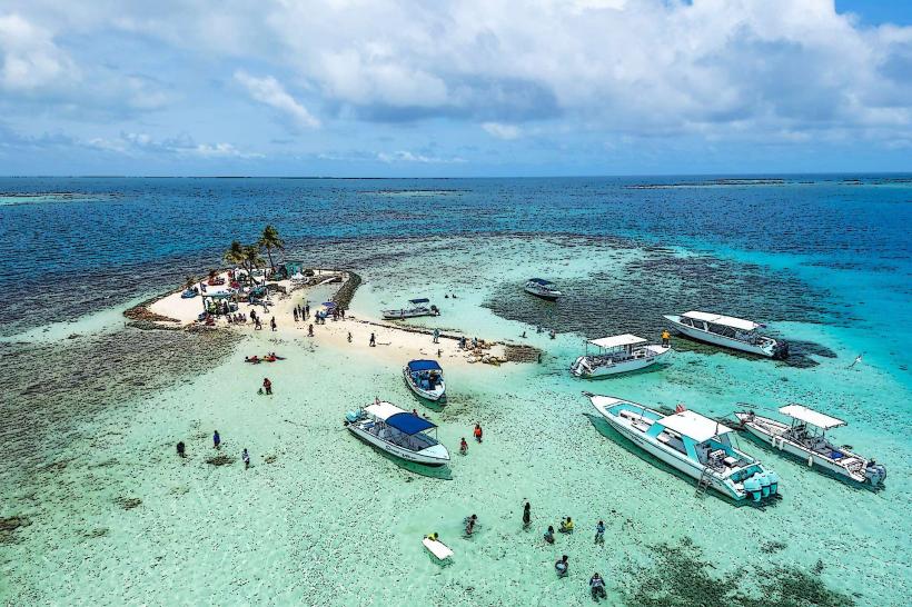
Swimming is possible along the entire length of the beach. Snorkeling and diving are accessible via boat tours to the nearby barrier reef. Kayaking and paddleboarding are available for rent. Fishing charters depart from Placencia Village.
Infrastructure & Amenities
Restrooms and changing facilities are available at various resorts and public access points. Shade is provided by palm trees and some man-made structures. Cell phone signal (4G) is generally available. Food vendors and restaurants are located in Placencia Village and along the main beach road.
Best Time to Visit
The best time for clear water visibility for snorkeling and diving is during the dry season, from December to May. Mid-morning offers optimal lighting for photography due to the angle of the sun. High tide is generally preferred for swimming.
Facts & Legends
The Placencia Sidewalk, a 4-foot-wide concrete path, runs the length of the village and is considered one of the narrowest main streets in the world. It was originally built to connect homes and businesses without disturbing the natural beach environment.
Nearby Landmarks
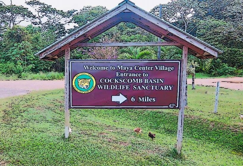
- Cockscomb Basin Wildlife Sanctuary (25km Northwest)
- Victoria Peak National Park (35km Northwest)
- Laughing Bird Caye National Park (15km Southeast, offshore)
- Silk Cayes (20km Southeast, offshore)
- Glover's Reef Atoll (40km Southeast, offshore)