Information
Landmark: Placencia LagoonCity: Placencia
Country: Belize
Continent: North America
Placencia Lagoon, Placencia, Belize, North America
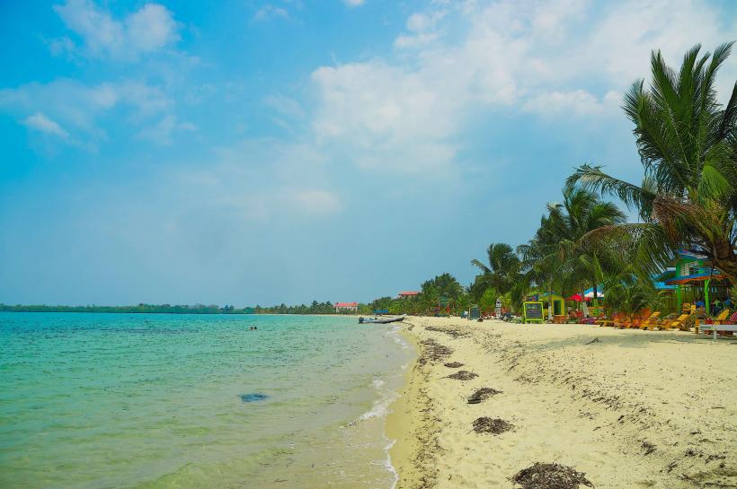
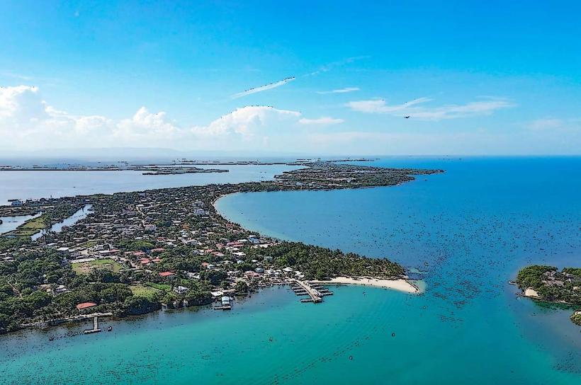
Placencia Lagoon is a coastal body of water situated adjacent to the Placencia Peninsula in Belize.
This lagoon serves as a significant marine ecosystem and a point of access for various water-based activities.
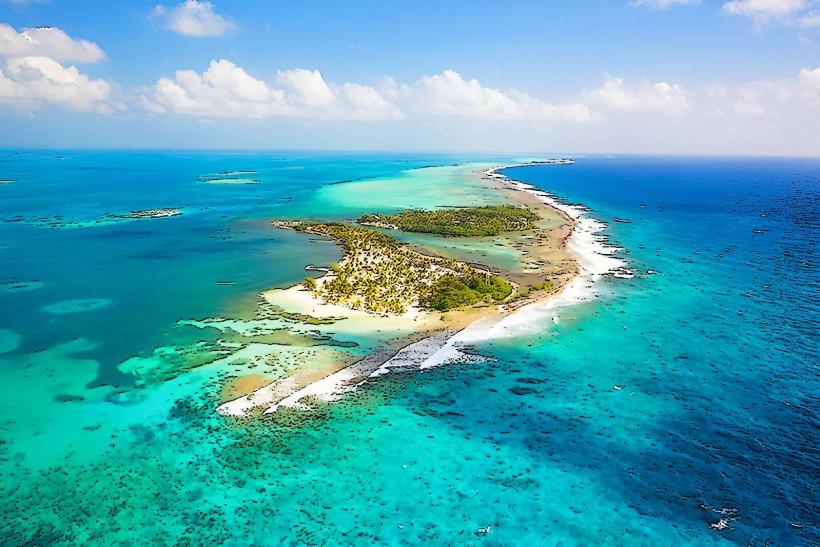
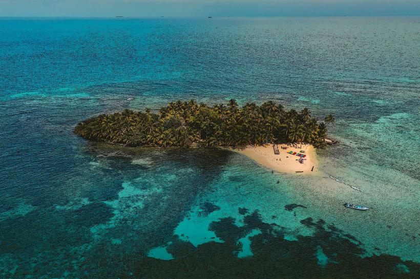
Visual Characteristics
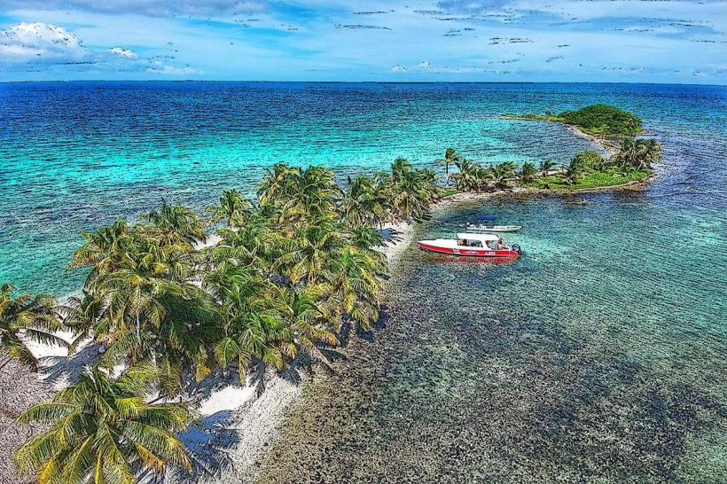
The lagoon's water color varies from a pale turquoise near the shore to a deeper blue further out, influenced by depth and sediment. The shoreline is characterized by mangrove forests, with dense vegetation extending to the water's edge in many areas. Sandbars and small cayes are present within the lagoon, some with exposed coral fragments.
Location & Access Logistics
Placencia Lagoon is located west of the village of Placencia. Access is primarily via boat from the village docks or from the mainland coastal road (Southern Highway). Several local tour operators offer boat tours departing from Placencia village. Driving to the lagoon requires navigating unpaved access roads from the Southern Highway, approximately 3km west of the Placencia turnoff. Parking is available at designated launch points, though it is often informal.
Historical & Ecological Origin
Placencia Lagoon is a geologically recent feature, formed by the deposition of sediment and the growth of mangrove ecosystems along the coast. It is classified as a coastal lagoon, part of the larger Mesoamerican Barrier Reef System. The lagoon's formation is linked to sea-level rise and sediment accumulation from rivers and coastal erosion.
Key Highlights & Activities
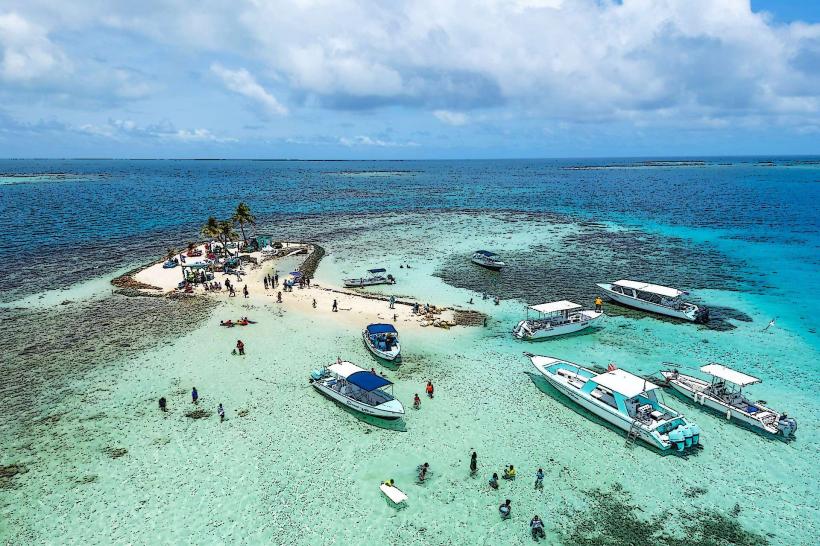
Kayaking and paddleboarding are possible throughout the lagoon. Boat tours offer opportunities for birdwatching, particularly during migratory seasons. Snorkeling is feasible in specific shallow areas with visible coral formations, typically requiring calm water conditions. Fishing charters operate within the lagoon and its adjacent channels.
Infrastructure & Amenities
Restrooms and food vendors are generally not present directly on the lagoon itself. Amenities are concentrated in the nearby village of Placencia. Cell phone signal (4G/5G) is typically available on the Placencia Peninsula and in areas close to the village, but can be intermittent within the lagoon's interior.
Best Time to Visit
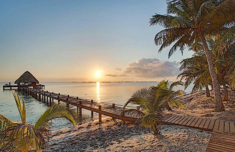
The best time for water activities is during the dry season, from December to May. Morning hours offer calmer water and better light for photography. High tide is generally preferred for navigating shallower channels and accessing certain areas.
Facts & Legends
Local folklore suggests that certain channels within the lagoon were historically used by smugglers due to their proximity to the coast and dense mangrove cover. The lagoon is a critical nursery ground for various fish species, supporting local fisheries.
Nearby Landmarks
- Placencia Village (0.5km East)
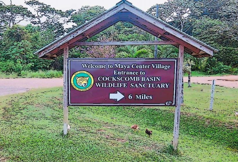
- Cockscomb Basin Wildlife Sanctuary (Approx. 30km Northwest)
- Laughing Bird Caye National Park (Approx. 15km Southeast, accessible by boat)
- Victoria Peak National Park (Approx. 45km Northwest)