Information
Landmark: Placencia PeninsulaCity: Placencia
Country: Belize
Continent: North America
Placencia Peninsula, Placencia, Belize, North America
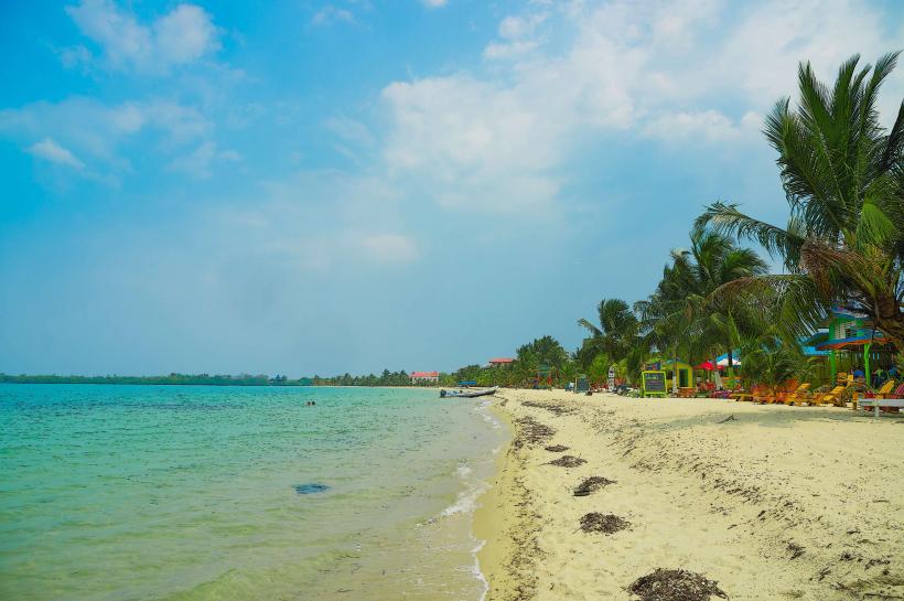
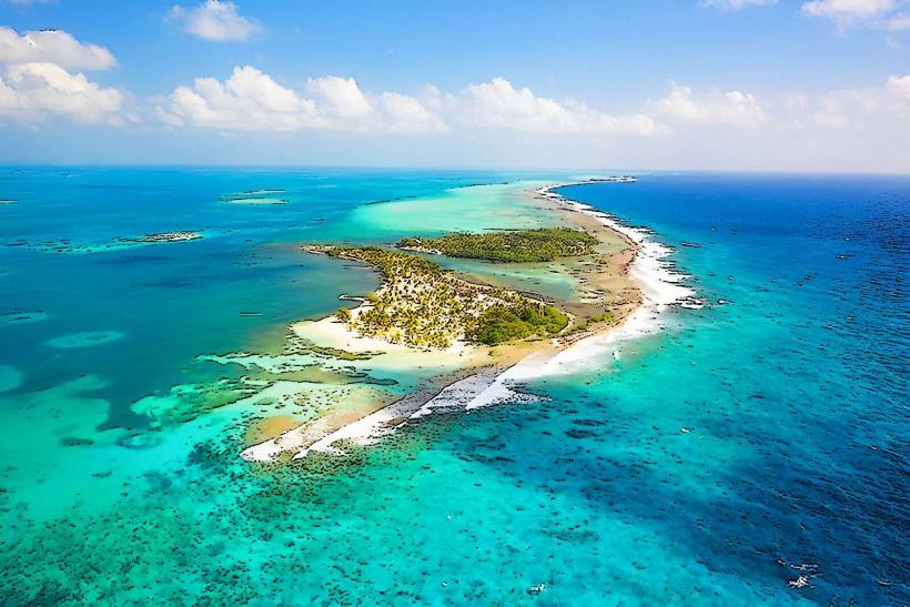
Placencia Peninsula is a 16-mile-long, narrow strip of land extending south from the mainland of Belize, bordering the Caribbean Sea to the east and the Placencia Lagoon to the west.
Visual Characteristics
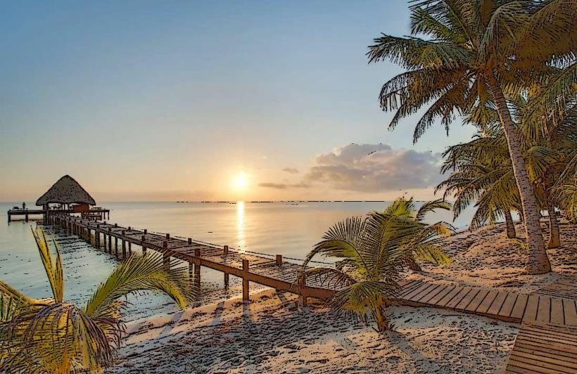
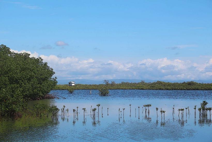
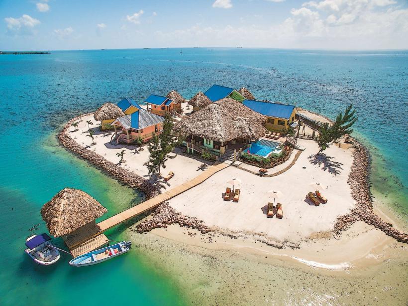
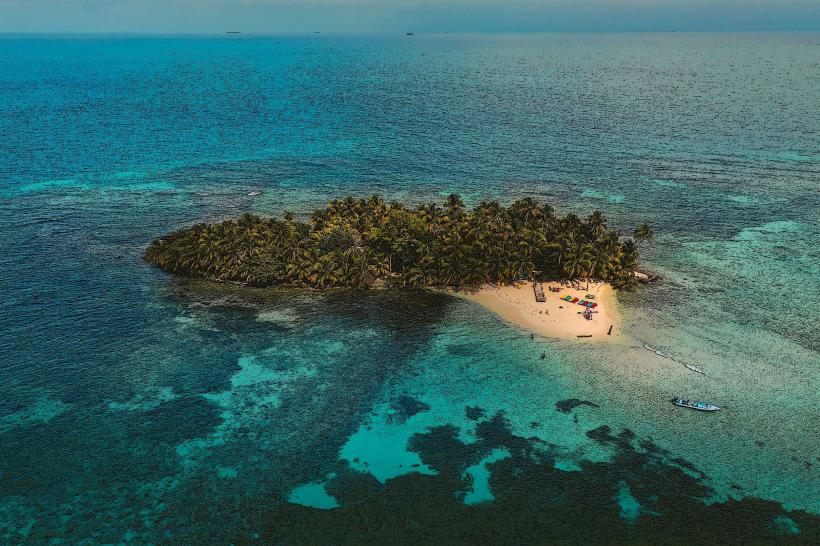
The peninsula features a coastline of fine, light-colored sand. Inland, vegetation consists of coconut palms and a mix of tropical hardwoods. The Placencia Lagoon side exhibits mangrove ecosystems. The developed areas of Placencia Village are characterized by low-rise wooden structures, many built on stilts.
Location & Access Logistics
Placencia Peninsula is located approximately 100 miles south of Belize City. Access is primarily via the Southern Highway, turning onto Placencia Road. The drive from the highway junction is approximately 20 miles. A small airstrip, Placencia Airport (PLJ), serves domestic flights. Parking is available in designated areas within Placencia Village, though street parking is common. Public transportation includes bus services from Belize City to Placencia Village.
Historical & Ecological Origin
The peninsula is a natural sand spit formed by marine processes. Historically, it was inhabited by Maya populations and later became a fishing village. The modern development began in the mid-20th century.
Key Highlights & Activities
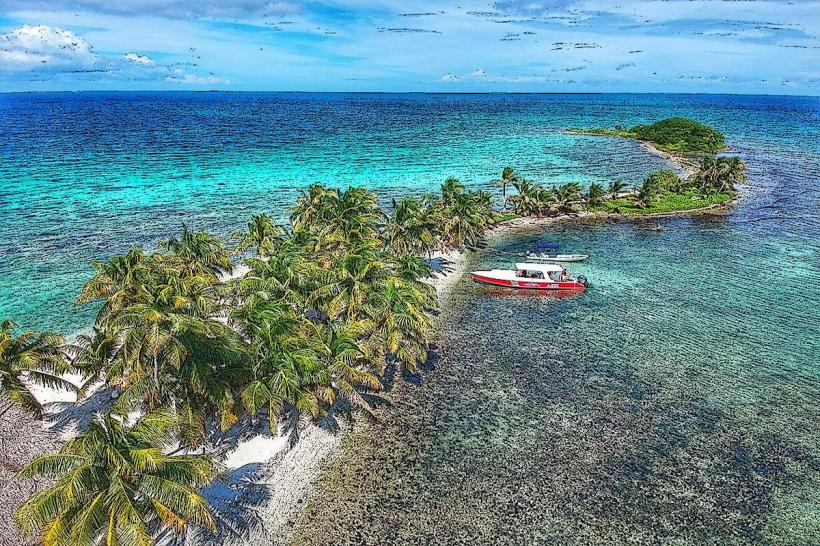
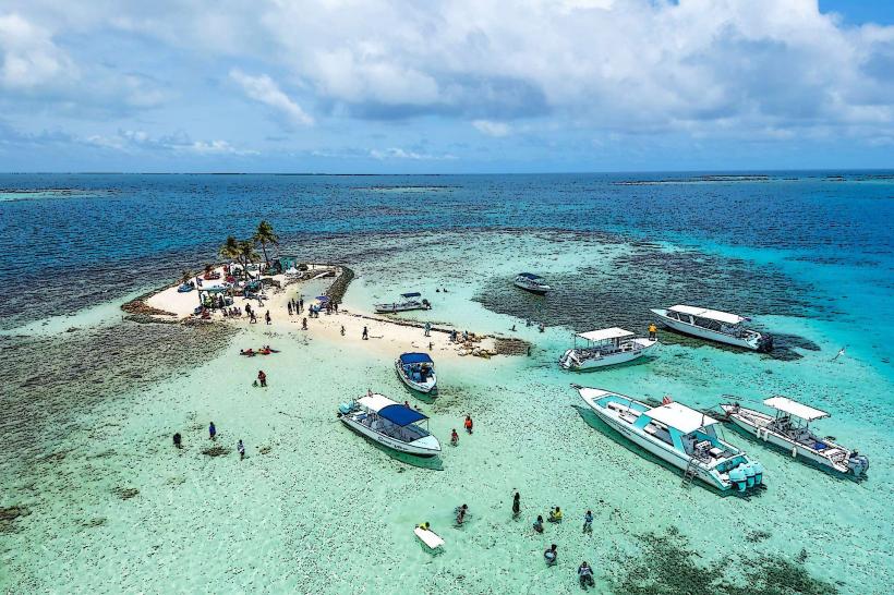
Activities include swimming, sunbathing, and fishing. Snorkeling and diving excursions depart from the village to the Belize Barrier Reef, located approximately 15 miles offshore. Kayaking and paddleboarding are possible in the Placencia Lagoon. Walking the length of the village's sidewalk, one of the narrowest in the world, is a common activity.
Infrastructure & Amenities
Restrooms are available at public beaches and within businesses. Shade is provided by palm trees and building awnings. Cell phone signal (4G/5G) is generally available within Placencia Village. Food vendors and restaurants are concentrated in the village.
Best Time to Visit
The dry season, from November to May, offers the most favorable weather conditions. The best time of day for photography is generally early morning or late afternoon due to the angle of the sun. High tide is not a critical factor for most beach activities.
Facts & Legends
The Placencia sidewalk, measuring only 4 feet wide in some sections, is often cited as the narrowest sidewalk in the world. Local lore suggests the peninsula was once connected to the mainland by a narrow isthmus that was gradually eroded by the sea.
Nearby Landmarks
- 0.5km North: Placencia Lagoon
- 15km East: Belize Barrier Reef
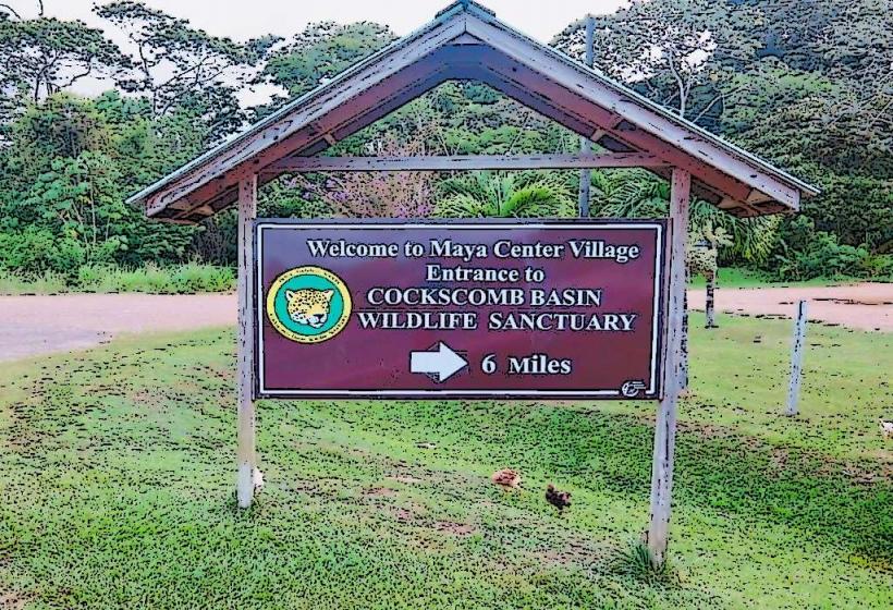
- 25km Northwest: Cockscomb Basin Wildlife Sanctuary
- 30km Southwest: Monkey River Town