Information
City: Sao FilipeCountry: Cabo Verde
Continent: Africa
Sao Filipe, Cabo Verde, Africa
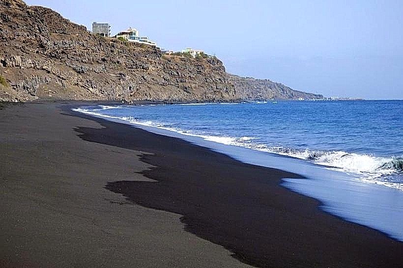
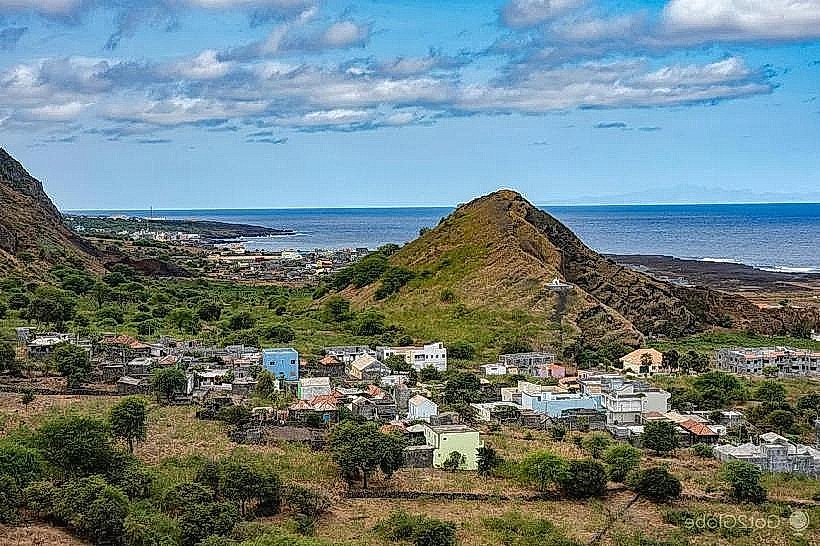
Sao Filipe serves as the administrative capital of Fogo Island and functions as a secondary economic hub for the Republic of Cabo Verde. It is situated on the southwest coast of the island, positioned on a high plateau overlooking a black sand coastline and the Atlantic Ocean.
Historical Timeline
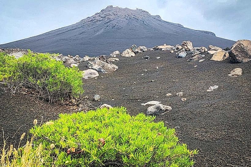
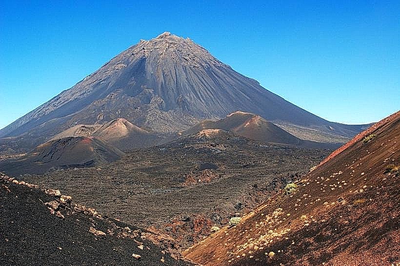
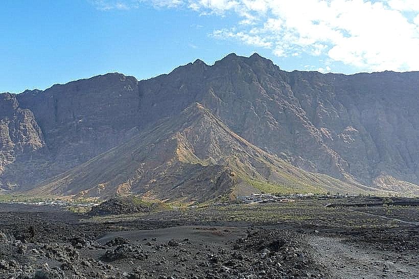
The settlement was established in the 16th century, specifically around 1500, shortly after the Portuguese discovery of Fogo. Primary eras of governance include the Portuguese colonial period and the post-independence era following 1975. The city underwent significant architectural consolidation in the late 19th century with the construction of "Sobrados" (colonial manor houses). The current urban form is largely defined by the 1951 volcanic eruption of Pico do Fogo, which redirected regional development and solidified Sao Filipe's role as a refuge and logistics center.
Demographics & Population
The city limits contain approximately 8,000 residents, while the Sao Filipe municipality totals roughly 22,000. Demographics are predominantly Crioulo (Mestizo), a mix of West African and Portuguese ancestry, with a small percentage of European expatriates. The median age is approximately 24 years.
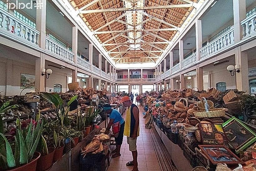
Urban Layout & Key Districts
The city is organized on a cliffside grid overlooking the ocean. The most important districts are the Alto de Sao Pedro (upper commercial area) and the Historic Center (Lower City/Bila Baixo) located toward the west. The city is bordered to the east by the rising slopes leading toward the Chã das Caldeiras volcanic crater.
Top City Landmarks
Presidential Palace (Sobrado)
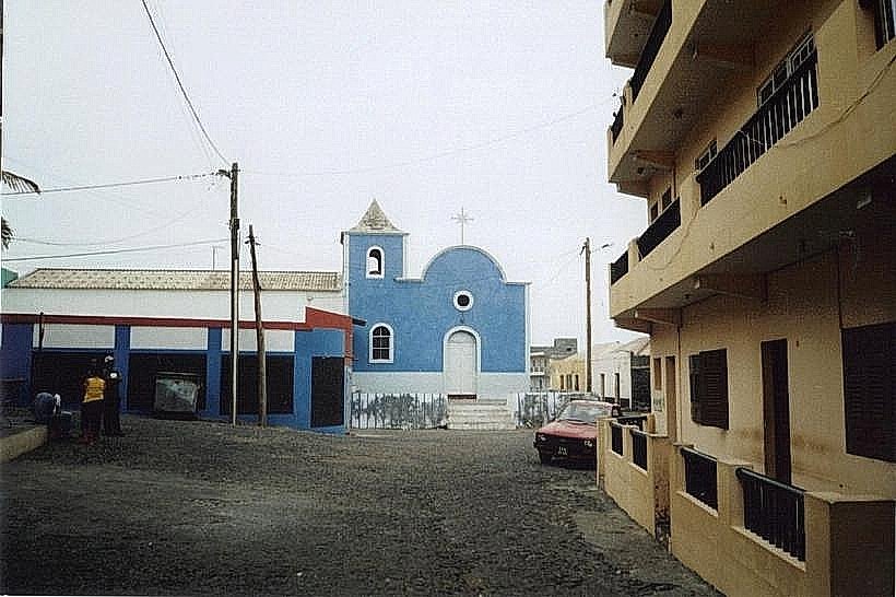
Church of Nossa Senhora da Conceição
Casa da Memória (House of Memory)
Cruz de Passos
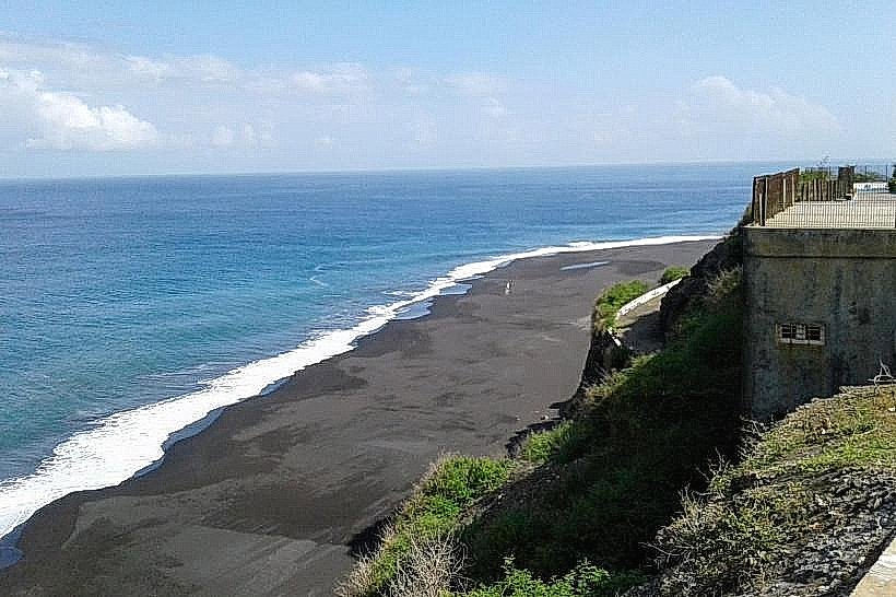
Praia da Bila (Black Sand Beach)
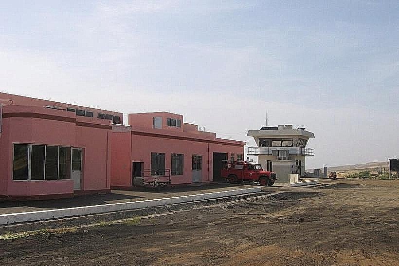
Transportation Network
Movement within the city is conducted primarily on foot or via Aluguer (shared minibuses). There is no rail or metro system. Taxis are typically blue with white tops and operate on a flat-rate basis within the city. Road infrastructure consists largely of cobblestone (paralelepípedo). Traffic density is low.
Safety & "Red Zones"
The general safety level is high. There are no specific "no-go" neighborhoods; however, caution is advised on the Praia da Bila at night due to limited lighting. Common scams are rare, though unlicensed "guides" may approach visitors near the central square.
Digital & Financial Infrastructure
Average internet speed is 20-40 Mbps (ADSL/4G). Main mobile carriers are CV Móvel and T+ (Unitel). Card acceptance is low to moderate; most transactions require cash (CVE). ATMs (Vinte4 network) are available in the city center.
Climate & Air Quality
Temperatures range from 19°C–25°C in winter to 23°C–30°C in late summer. Air quality is generally high, though the "Bruma Seca" (dry haze/dust from the Sahara) can significantly reduce visibility and air quality between December and February. Volcanic ash is a situational risk during eruptive cycles.
Culture & Social Norms
Tipping is not mandatory but 5-10% is appreciated in restaurants. Handshakes are the standard greeting. Dress code is modest but informal. Public intoxication is frowned upon, though the local grogue (rum) is a central social element. Smoking is restricted in government buildings.
Accommodation Zones
Bila Baixo (Historic Center): Recommended for walking access to colonial architecture and the main square.
São Pedro: Recommended for proximity to the airport and higher elevation views.
Local Cost Index
1 Espresso: 100 CVE ($1.00)
1 Standard Lunch: 800 CVE ($7.80)
1 Metro/Bus Ticket: 50 CVE ($0.50) - (Local Aluguer rate)
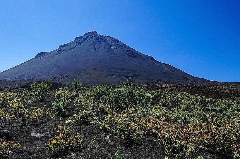
Nearby Day Trips
Chã das Caldeiras (30 km)
Mosteiros (45 km)
Cova Figueira (25 km)
Salinas de São Jorge (15 km)
Facts & Legends
Local tradition maintains the legend of the "Sete Sóis" (Seven Suns), relating to the perceived intensity of the sun reflecting off the volcanic soil. A verified historical oddity is the city's strict social stratification symbolized by the "Sobrados," where historically the elite lived on the wooden upper floors while servants lived on the stone ground floors, a layout that dictated the city's social and architectural hierarchy for centuries.