Information
City: UtilaCountry: Honduras
Continent: North America
Utila, Honduras, North America
Utila is the smallest of the three major Bay Islands and serves as a primary global hub for affordable SCUBA diving certification and marine research. It is situated in the Caribbean Sea, approximately 30 kilometers north of the mainland port of La Ceiba.
Historical Timeline
Utila was originally settled by Paya indigenous groups before being colonised by the Spanish and subsequently occupied by British settlers from the Cayman Islands in the 1830s. The primary era of governance involves its 19th-century status as a British protectorate followed by its annexation by Honduras in 1861. The most significant architectural reconstruction occurred after a 2013 fire that destroyed a large portion of the commercial waterfront. The 1990s expansion of the global dive tourism industry is the primary event that shifted the island from a subsistence fishing economy to its current urban service form.
Demographics & Population
The total permanent population is approximately 4,500 residents. The top three demographics are Afro-Caribbean/White Creoles (45%), mainland Mestizos (40%), and North American/European expatriates (15%). The median age of the population is 28.4 years.
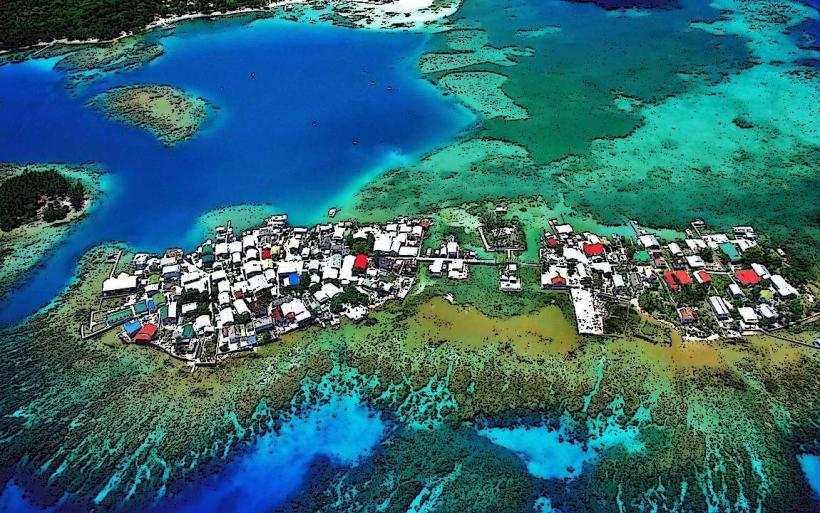
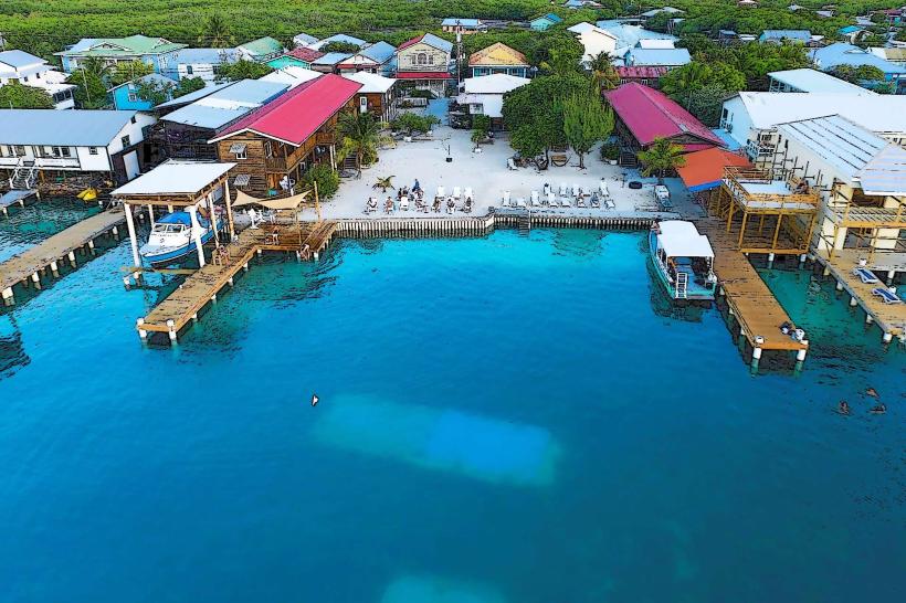
Urban Layout & Key Districts
The island is organized around a single main street that curves around East Harbour. The town is divided into the "Up Island" (West) and "Down Island" (East) sectors. The Main Street district contains the highest density of dive shops and services for visitors. Sandy Bay (West) serves as the primary residential and quiet tourist zone, while the uninhabited western two-thirds of the island remain dense mangrove and forest.
Top City Landmarks
The Great Wharf (Central Hub)
Pumpkin Hill (Highest point on the island)
Utila Iguana Research and Breeding Center
The Neptune's Reef (South Shore)
The Halliburton Wreck (Sunken 100-foot ship)
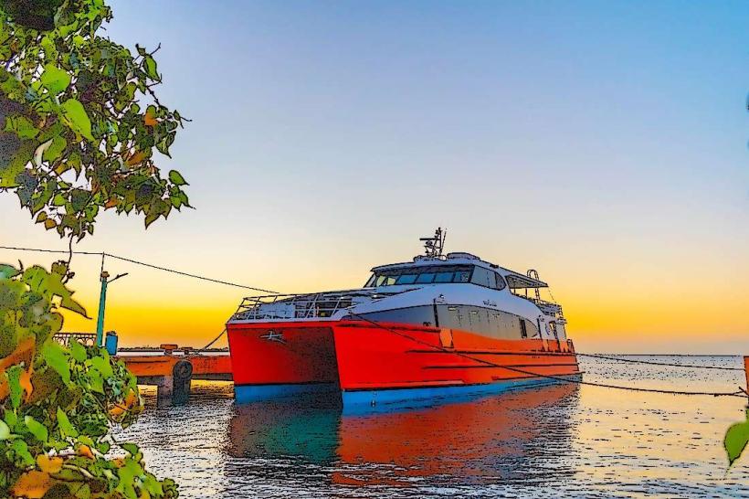
Transportation Network
Internal movement is conducted via golf carts, motorbikes, and "Tuk-Tuk" moto-taxis. There are no metro, tram, or large bus systems. Ride-sharing apps are non-existent. Official taxis are white or red Tuk-Tuks identified by local registration numbers. Traffic density is low, though the extremely narrow Main Street causes congestion during ferry arrival times.
Safety & "Red Zones"
The general safety level is very high. There are no designated "red zones." Caution is advised on the unlit path to Pumpkin Hill and the North Side beaches after dark. Common scams are limited to unregulated "boat charters" and equipment rental overpricing in high-traffic dive zones.
Digital & Financial Infrastructure
Average internet speed is 35 Mbps via microwave link and Starlink. Main mobile carriers are Tigo and Claro. Card acceptance is moderate; most dive shops and hotels accept cards with a 4-7% surcharge, but cash is mandatory for restaurants and transport. There is only one primary bank (Banco Atlántida) with two ATMs that frequently deplete during weekends.
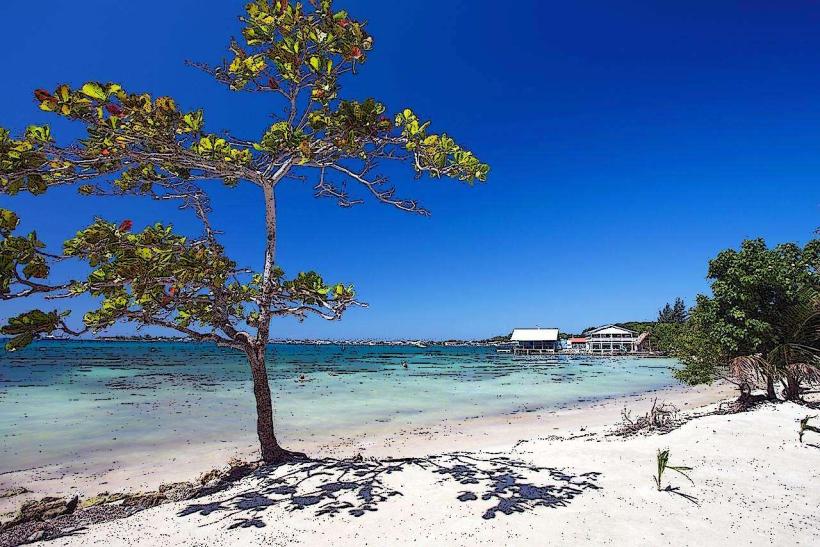
Climate & Air Quality
Temperatures range from 24°C to 31°C. The dry season (February–August) is optimal for water visibility. The rainy season (October–January) brings significant "Northers" that can cancel ferry services to the mainland. Air quality is exceptional due to the lack of motor vehicles and constant Caribbean trade winds.
Culture & Social Norms
Tipping of 10% is expected but rarely included in the bill. Standard greetings are "What's up" in English or "Buenas" in Spanish; Utila remains a bilingual society with a strong Caribbean English dialect. Dress codes are extremely casual; walking barefoot or in swimwear is acceptable in most areas except government offices. Smoking is permitted in most outdoor seating areas.
Accommodation Zones
Main Street/East Harbour: Recommended for walking access to nightlife, ferries, and dive schools.
Sandy Bay: Recommended for a quieter experience and proximity to shore-diving sites.
Local Cost Index
1 Espresso: L50.00 ($2.02)
1 Standard Lunch (Baleada and Water): L110.00 ($4.45)
1 Tuk-Tuk Trip (Within town): L40.00 ($1.62)
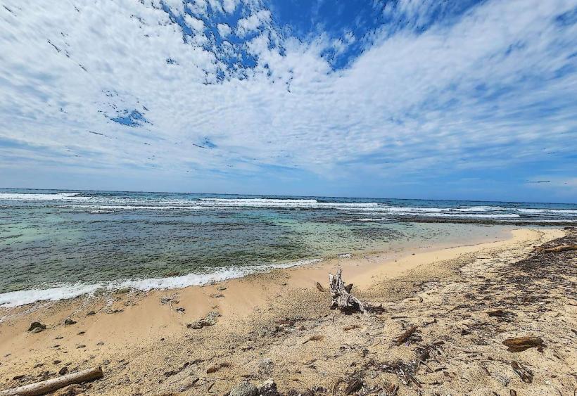
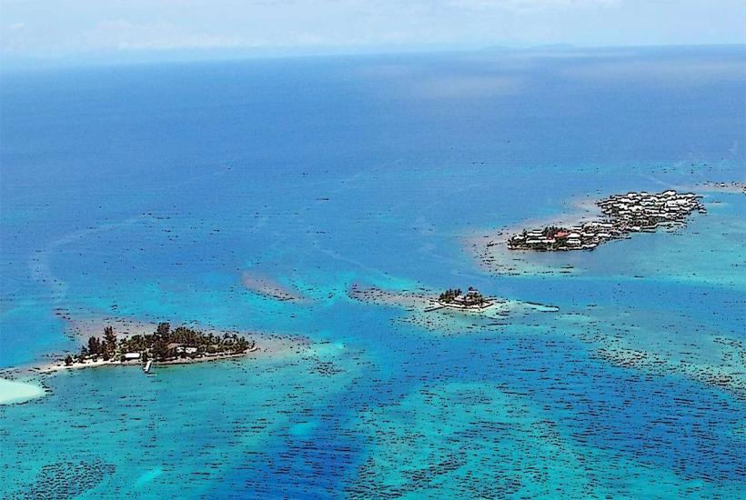
Nearby Day Trips
Water Cays (Utila Cays): 20 mins by boat (Uninhabited coral islands)
Roatán: 1 hour by ferry (45 km)
La Ceiba (Mainland): 1 hour by ferry (30 km)
North Shore Caves: 15 mins by boat
Facts & Legends
The primary local legend involves the "Whale Shark," the world’s largest fish, which congregates in Utila's waters year-round-a rarity globally. A historical oddity is the "Utila Iguana" (Ctenosaura bakeri), also known as the "Swamper," which exists only in the mangrove swamps of this specific island and nowhere else on earth. Residents also maintain folklore regarding buried pirate gold in the caves of Pumpkin Hill, attributed to the frequent visits of Henry Morgan and Captain Jean Lafitte to the island’s hidden coves.