Information
Landmark: Utila CaysCity: Utila
Country: Honduras
Continent: North America
Utila Cays, Utila, Honduras, North America
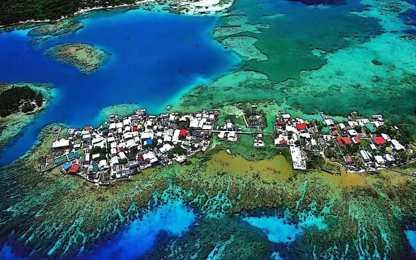
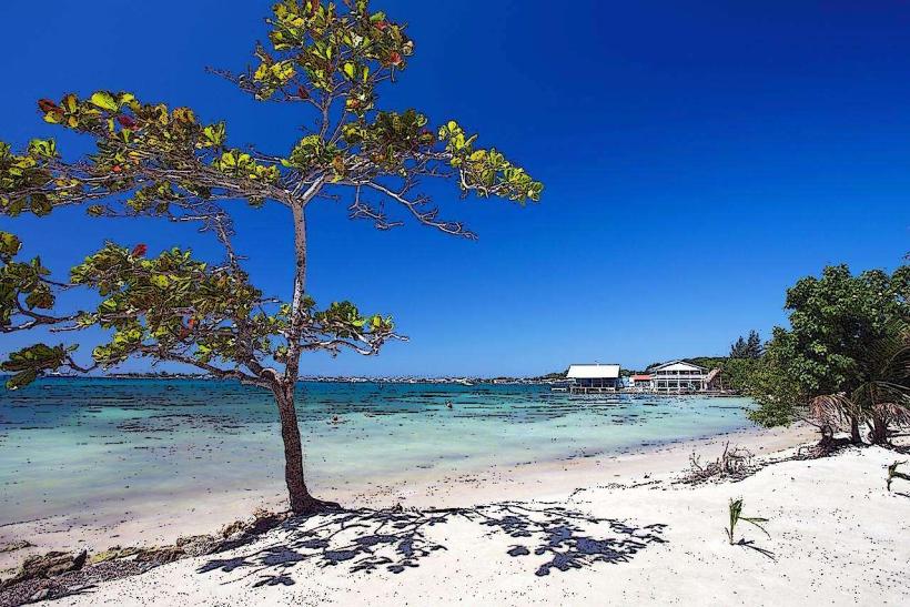
The Utila Cays are a collection of small islands situated off the coast of Utila, Honduras. These cays are primarily composed of coral and sand formations.
Visual Characteristics
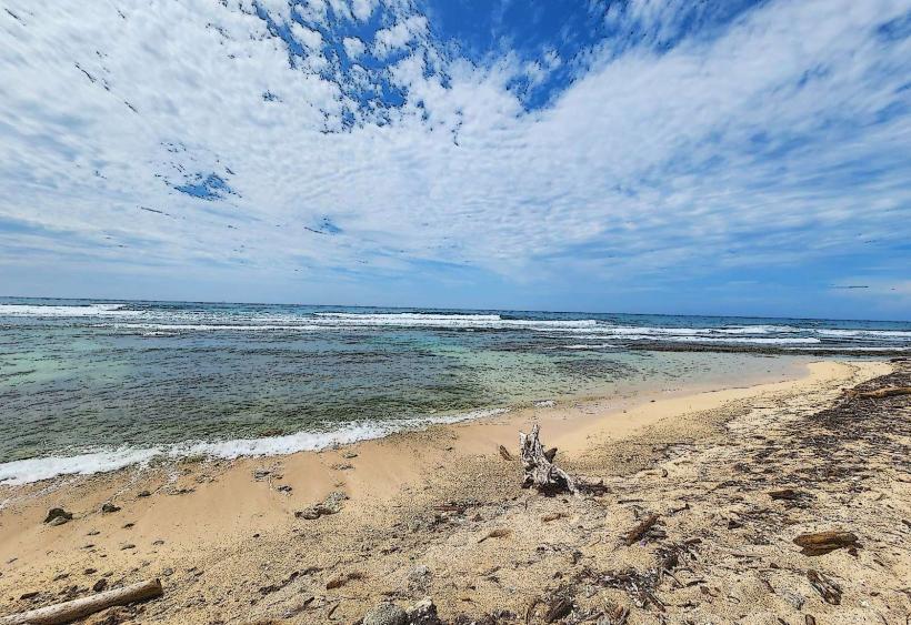
The cays exhibit low-lying topography, with elevations rarely exceeding a few meters above sea level. Vegetation is sparse, consisting mainly of coconut palms and low-lying scrub. The surrounding waters are clear, with visibility often exceeding 20 meters, displaying shades of turquoise and deep blue. Sand texture varies from fine white coral fragments to coarser shell-based material.
Location & Access Logistics
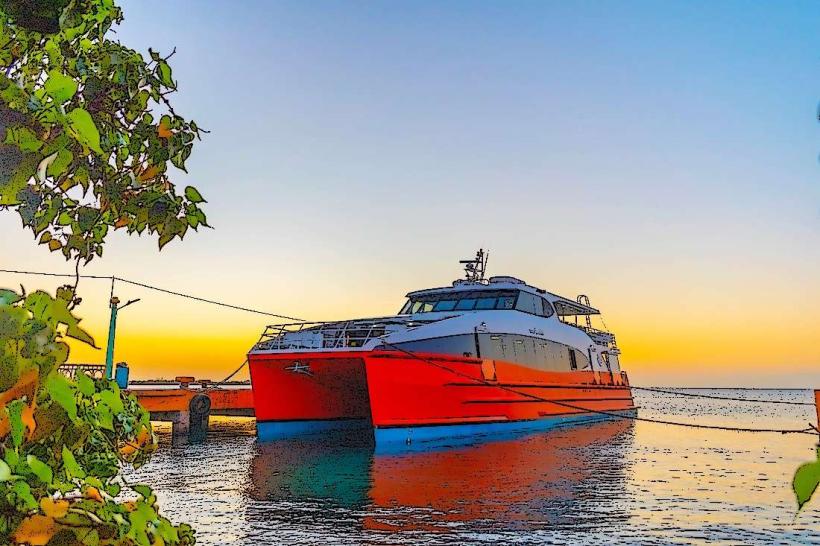
The Utila Cays are located approximately 1.5 kilometers north of the main island of Utila. Access is exclusively by boat. Local water taxis operate from Utila town's main dock, with trips taking approximately 10-15 minutes. There is no vehicle access or parking on the cays themselves. Boat operators typically charge a per-person fare for round trips.
Historical & Ecological Origin
The Utila Cays are geologically classified as coral cays, formed by the accumulation of coral skeletons and other marine debris over millennia. They are part of the Mesoamerican Barrier Reef System, the second-largest reef system in the world. Historically, they have served as temporary fishing outposts and navigational points.
Key Highlights & Activities
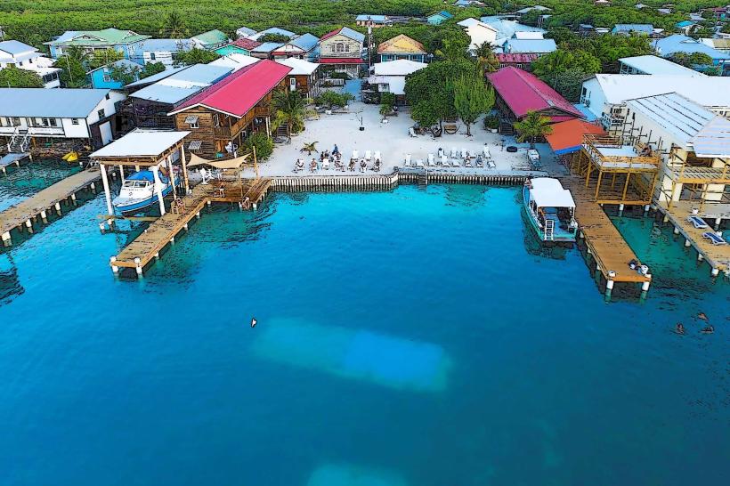
Snorkeling and diving are primary activities, with numerous coral formations and marine life accessible directly from the shore or via short boat trips. Kayaking between the cays is possible. Some cays offer basic beach access for relaxation. Limited fishing is permitted in designated areas.
Infrastructure & Amenities
Infrastructure is minimal. Some cays may have rudimentary shelters or picnic tables. Restrooms are generally absent. Cell phone signal (4G/5G) is intermittent and dependent on proximity to Utila town. No food vendors are permanently stationed on the cays; visitors should bring their own supplies.
Best Time to Visit
The best time for clear water visibility and calm seas is during the dry season, from December to May. Mid-morning offers optimal sunlight for underwater photography. High tide is generally preferred for easier access to certain snorkeling spots.
Facts & Legends
A local legend suggests that some of the smaller, uninhabited cays were once used by pirates as clandestine meeting points. Verified historical records indicate their use as seasonal fishing camps by the indigenous Miskito people.
Nearby Landmarks
- Utila Town (0.8km South)
- Lagoon of Utila (1.2km Southwest)
- Cayos Cochinos Marine Reserve (25km Southeast)
- Roatan Island (50km East)