Information
Landmark: Pumpkin Hill BeachCity: Utila
Country: Honduras
Continent: North America
Pumpkin Hill Beach, Utila, Honduras, North America
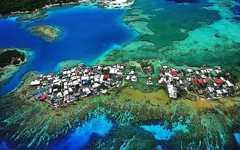
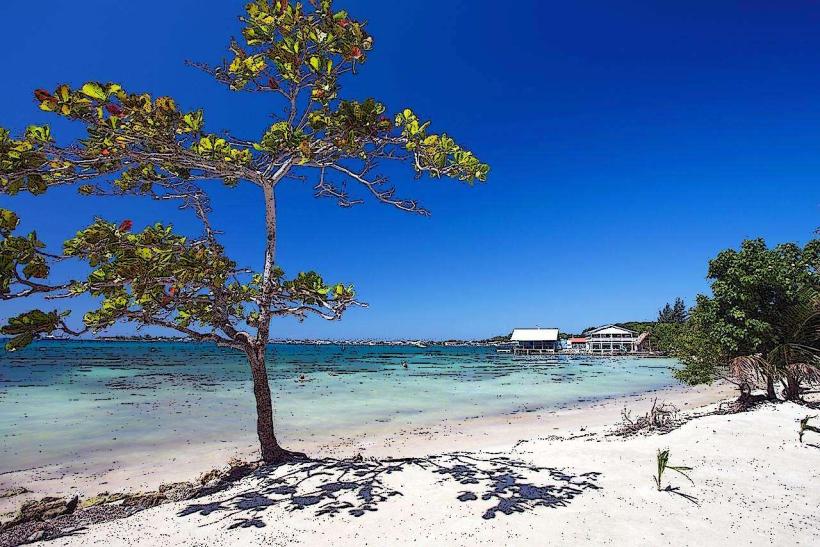
Pumpkin Hill Beach is a coastal area located on the island of Utila, Honduras. It is situated on the eastern side of the island.
Visual Characteristics
The beach consists of light brown sand with a moderate grain size. The water is typically clear with a turquoise hue. The shoreline is bordered by low-lying vegetation, primarily scrub brush and scattered palm trees. The terrain behind the beach rises gradually to a hill, Pumpkin Hill, which is covered in denser tropical foliage.
Location & Access Logistics
Pumpkin Hill Beach is approximately 3 kilometers east of Utila's main settlement. Access is primarily via unpaved roads. A 4x4 vehicle or a sturdy motorcycle is recommended for direct access. Alternatively, it can be reached by foot, a journey of approximately 45 minutes to 1 hour from the town center. There is no designated parking area; vehicles are typically parked along the roadside. Public transport options directly to the beach are not available.
Historical & Ecological Origin
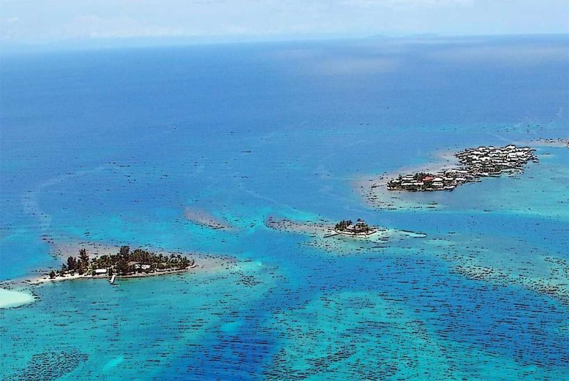
Pumpkin Hill is a geological formation of volcanic origin, characteristic of the Bay Islands. The beach itself is a result of coastal erosion and sediment deposition over time. The surrounding vegetation is a typical example of insular tropical dry forest.
Key Highlights & Activities
Visitors can walk along the shoreline. Hiking to the summit of Pumpkin Hill is possible via a marked trail, offering elevated views of the surrounding area. Swimming is permitted, though currents can vary. Birdwatching is a common activity due to the local flora.
Infrastructure & Amenities
There are no permanent structures or amenities directly on Pumpkin Hill Beach. Restrooms, shade, and food vendors are not present. Cell phone signal (4G/5G) is generally weak to non-existent at the beach itself, though it may be available closer to the town.
Best Time to Visit
The best time for photography is during the morning or late afternoon when the sun angle provides optimal lighting on the water and landscape. The dry season, from December to May, offers the most consistent weather conditions. There are no tidal dependencies for beach access or activities.
Facts & Legends
Local lore suggests that the hill was named for its rounded shape, resembling a pumpkin. A specific tip for visitors is to carry sufficient water and insect repellent, as both are essential due to the lack of facilities and the presence of biting insects in the vegetation.
Nearby Landmarks
- Utila Town Center (2.5km West)
- Laguna de Utila (1.8km Southwest)
- Chepes Beach (3.2km West)
- Black-Collared Hawk Nesting Site (1.2km Northeast)