Information
Landmark: Utila IslandCity: Utila
Country: Honduras
Continent: North America
Utila Island, Utila, Honduras, North America
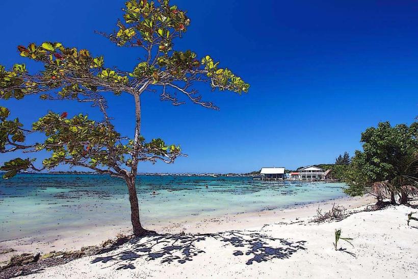
Utila Island is a landmass situated in the Caribbean Sea, off the northern coast of mainland Honduras. It is the smallest of the Bay Islands, measuring approximately 11 kilometers in length and 4 kilometers at its widest point.
Visual Characteristics
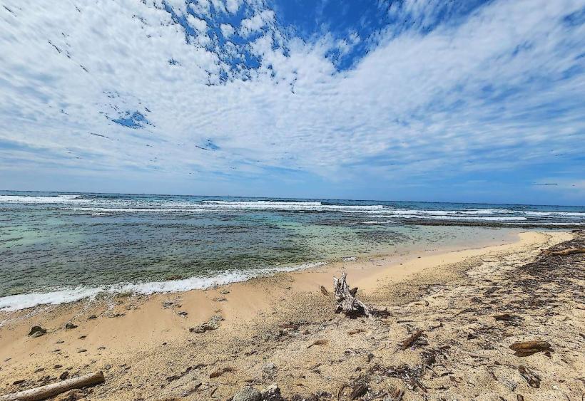
The island's coastline is predominantly low-lying, characterized by mangrove forests and sandy beaches. Inland, the terrain is relatively flat, with some areas of dense tropical vegetation. The waters surrounding Utila are known for their clarity and the presence of coral reefs.
Location & Access Logistics
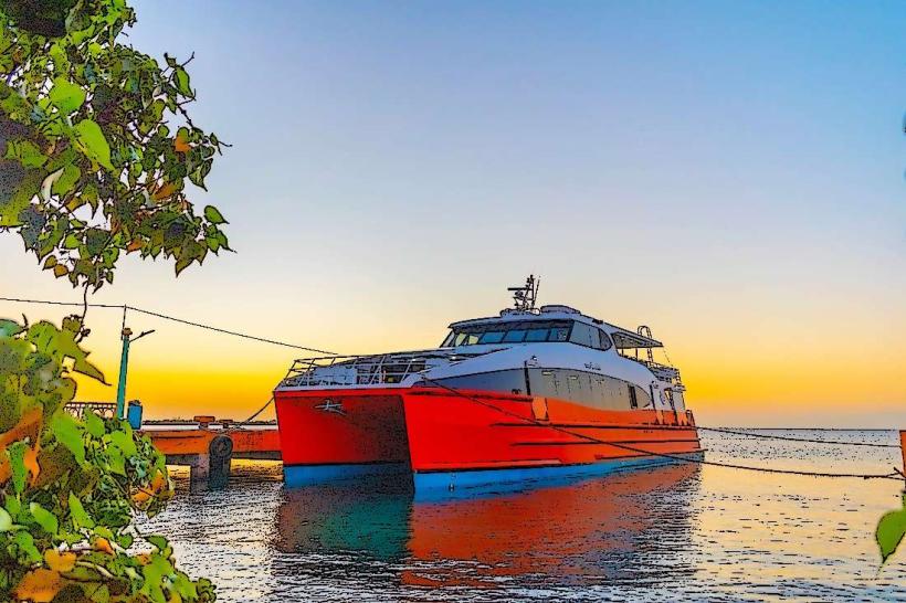
Utila is located approximately 30 kilometers north of the Honduran mainland. Access is primarily via ferry or small aircraft. Ferries depart daily from La Ceiba, a journey that takes approximately 45 minutes to 1 hour. Small propeller planes operate from La Ceiba and San Pedro Sula, with flight times around 20-30 minutes. There is no significant road network on the island; transportation is mainly by foot, bicycle, or small water taxis.
Historical & Ecological Origin
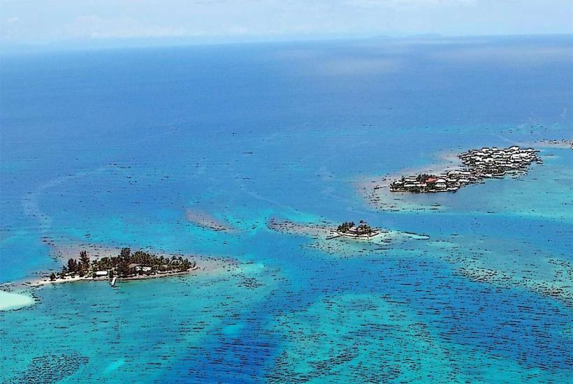
Utila is part of the Mesoamerican Barrier Reef System, the second-largest barrier reef in the world. The island's geological formation is believed to be a combination of coral growth and uplifted seabed. Historically, it was inhabited by indigenous peoples before being settled by English-speaking colonists in the 17th century.
Key Highlights & Activities
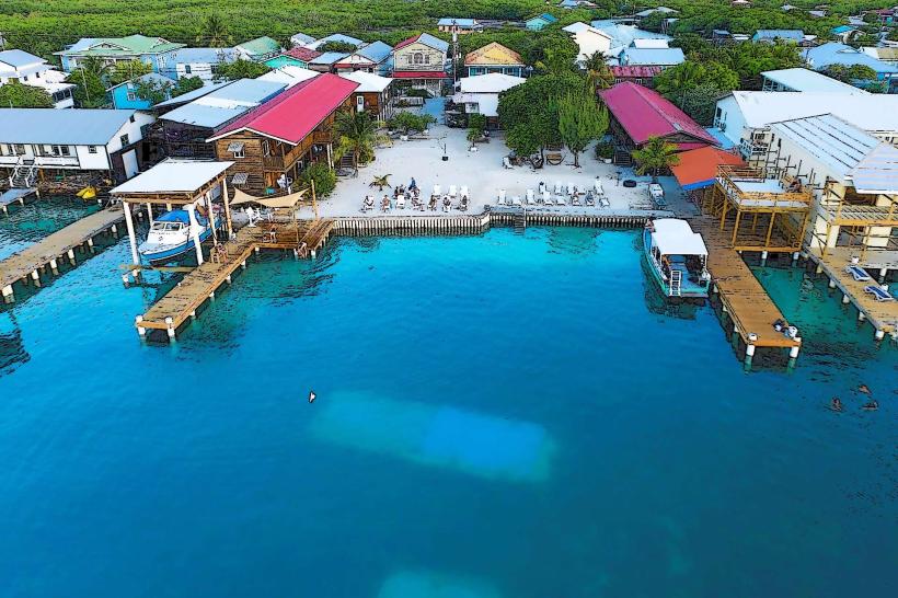
Diving and snorkeling are primary activities due to the extensive coral reefs and marine life. Specific dive sites include the "Black Hills" and "Little Bight." Whale shark encounters are frequently reported between March and April. Kayaking around the island's perimeter is possible. The town of Utila offers a central point for accessing services.
Infrastructure & Amenities
Restrooms are available at most dive shops, restaurants, and accommodations. Shade is provided by natural vegetation and constructed shelters in populated areas. Cell phone signal (4G) is generally available in the main town area. Food vendors and small restaurants are concentrated in the main settlement.
Best Time to Visit
The dry season, from February to May, offers the most favorable weather conditions. For whale shark sightings, the months of March and April are statistically more productive. Visibility for diving is typically good year-round, but can be reduced after heavy rainfall.
Facts & Legends
Utila is known as the "Isle of Youth" due to its relatively young population and the perception of a relaxed lifestyle. A local legend speaks of a hidden treasure buried by pirates on the island, though no verifiable evidence exists.
Nearby Landmarks
- Roatan Island (40km Northeast)
- Cayos Cochinos (35km Southeast)
- Guanaja Island (50km East)