Information
Landmark: Utila Dream FerryCity: Utila
Country: Honduras
Continent: North America
Utila Dream Ferry, Utila, Honduras, North America
The Utila Dream Ferry is a passenger transport vessel operating between the island of Utila and the Honduran mainland. It serves as a primary link for travel to and from Utila, a Bay Island located off the northern coast of Honduras.
Visual Characteristics
The Utila Dream Ferry is a multi-deck catamaran, typically painted in white with blue accents. It measures approximately 25 meters in length and 5 meters in width. The vessel features enclosed seating areas on its main deck and an open-air upper deck. Its hull is designed for stability in open water conditions.
Location & Access Logistics
The ferry departs from Utila's main dock, located at the eastern end of the town. On the mainland, it arrives at La Ceiba's ferry terminal, situated within the city's port area. The journey duration is approximately 45 minutes to 1 hour, depending on sea conditions. Parking is available at both departure and arrival terminals, though fees may apply. Public bus services connect La Ceiba's ferry terminal to the city center and other transportation hubs.
Historical & Ecological Origin
The Utila Dream Ferry is a commercial service established to facilitate reliable transportation to Utila, an island known for its diving industry and limited airport capacity. The vessel itself is a modern construction, designed for efficient inter-island and coastal ferry operations. Its operation is integral to the island's economy and accessibility.
Key Highlights & Activities
The primary activity is the ferry transit itself. Passengers can observe coastal scenery and marine activity during the crossing. Seating is provided for all passengers. The upper deck offers an open-air experience.
Infrastructure & Amenities
Onboard, the ferry provides seating, and basic restroom facilities. There are no food vendors on the ferry itself, but concessions are typically available at the departure and arrival terminals. Cell phone signal (4G/5G) is generally available during the transit, though it may fluctuate.
Best Time to Visit
The ferry operates on a fixed schedule, with departures typically in the morning and afternoon. For optimal sea conditions and reduced passenger volume, traveling during weekdays is often preferable. The crossing is generally smooth, but rough seas can occur during the hurricane season (June to November).
Facts & Legends
Utila is known as the "Whale Shark Capital of the Caribbean" due to frequent sightings of whale sharks in its waters. While the ferry itself does not facilitate whale shark viewing, its route passes through waters where these marine animals are present.
Nearby Landmarks
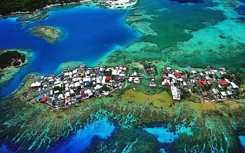
- Utila Town Center (0.2km West)
- Utila Dive Shops (0.3km West)
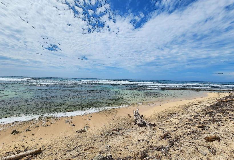
- Chepes Beach (1.5km West)
- Laguna de Utila (2.0km Southwest)
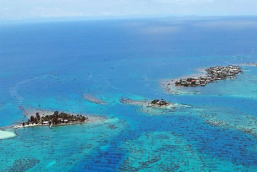
- Cayos Cochinos (15km Southeast - visible on clear days)