Information
Landmark: Amador CausewayCity: Panama City
Country: Panama
Continent: North America
Amador Causeway, Panama City, Panama, North America
The Amador Causeway is a man-made land bridge connecting four small islands to the mainland of Panama City, Panama.
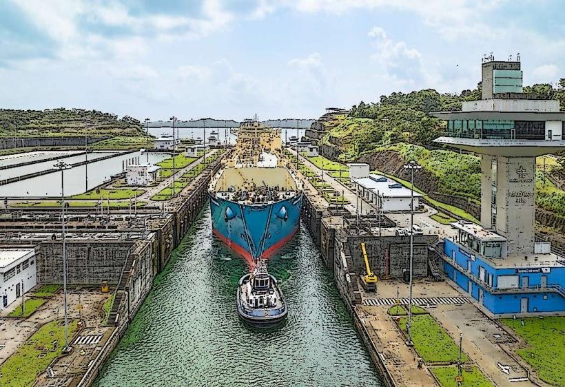
It extends into the Pacific Ocean, forming a barrier that creates the entrance to the Panama Canal.
Visual Characteristics
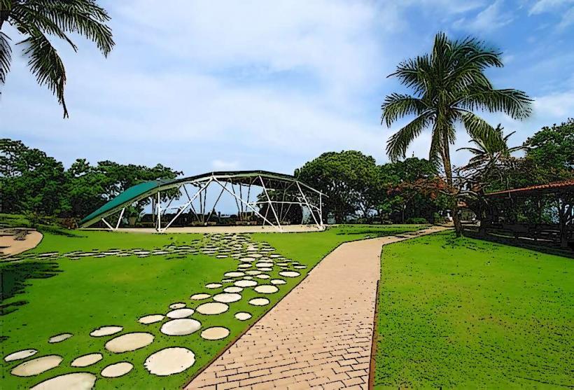
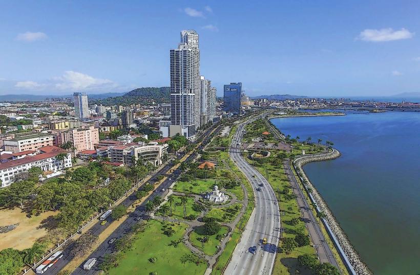
The causeway is primarily an asphalt road, approximately 15 meters wide, flanked by concrete seawalls. On the landward side, it is bordered by vegetation, including palm trees and various tropical plants. The seaward side offers views of the Pacific Ocean and the Panama Canal entrance. The four islands it connects (Naos, Culebra, Perico, and Flamenco) are characterized by rocky shorelines and some developed areas.
Location & Access Logistics
The Amador Causeway is located at the Pacific entrance to the Panama Canal, approximately 5 kilometers south of Panama City's financial district. Access is via Avenida Balboa, which transitions into the causeway. Multiple entry points are available. Parking is available at designated lots on Perico and Flamenco Islands, with fees typically applied. Public transportation options include local buses that run along the causeway, originating from terminals within Panama City. Taxis and ride-sharing services are also readily available.
Historical & Ecological Origin
Construction of the Amador Causeway began in 1913 and was completed in 1914. It was built by the United States Army Corps of Engineers as part of the Panama Canal construction project. Its primary purpose was to serve as a breakwater and a roadway for the movement of personnel and equipment related to the canal's operation and defense. Ecologically, the causeway has altered tidal flows and sediment deposition patterns in the surrounding bay.
Key Highlights & Activities
Activities include cycling and rollerblading along the paved surface, with bicycle rentals available. Walking and jogging are common. Visitors can observe large ships transiting the Panama Canal. The islands offer viewpoints for photography. Several restaurants and bars are situated along the causeway. The Smithsonian Tropical Research Institute's Naos Island facility offers exhibits on local biodiversity.
Infrastructure & Amenities
Restrooms are available at various points, particularly near the restaurants and parking areas on Perico and Flamenco Islands. Shaded areas are limited, primarily provided by trees and some covered seating structures. Cell phone signal (4G/5G) is generally strong throughout the causeway. Food vendors and restaurants are present on Perico and Flamenco Islands.
Best Time to Visit
The best time of day for photography is generally in the late afternoon, approximately 1-2 hours before sunset, for optimal lighting on the canal entrance and city skyline. The driest months are from December to April, offering pleasant weather. High tide is not a critical factor for access or activities on the causeway itself.
Facts & Legends
During its construction, the causeway was built using material excavated from the Culebra Cut, a significant excavation effort during the Panama Canal's creation. A specific tip for visitors is to arrive early on weekends to avoid crowds, especially if planning to rent bicycles.
Nearby Landmarks
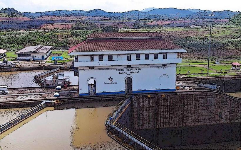
- Panama Canal Miraflores Locks Visitor Center (3.5km Northwest)
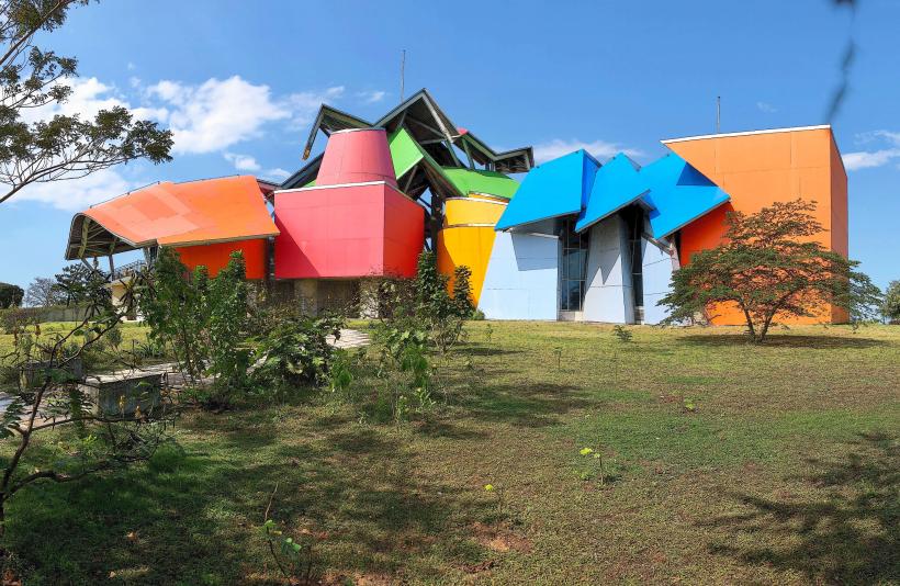
- Biomuseo (3.0km Northwest)
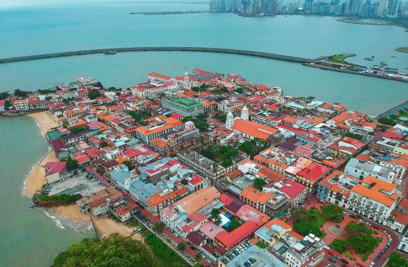
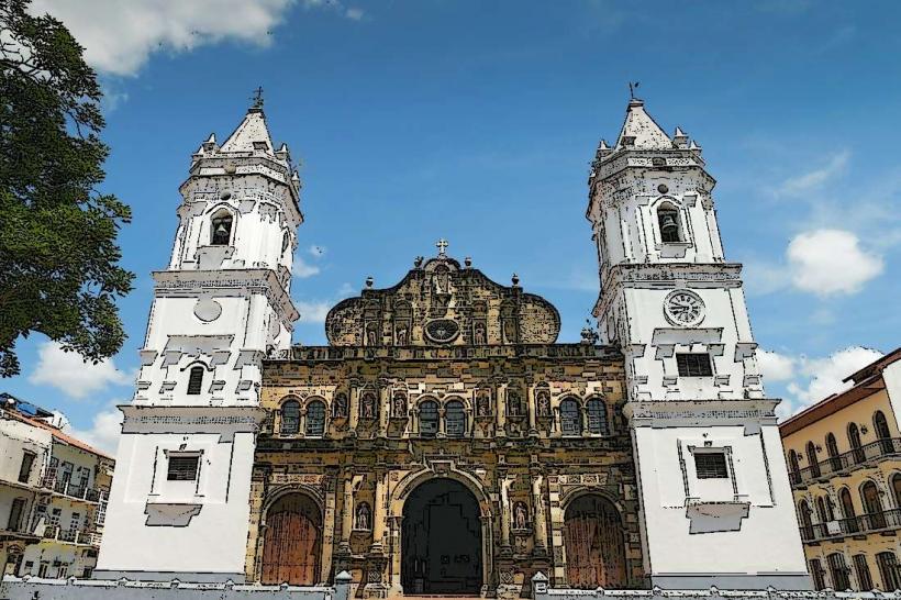
- Casco Viejo (Old Town) (4.0km Northwest)
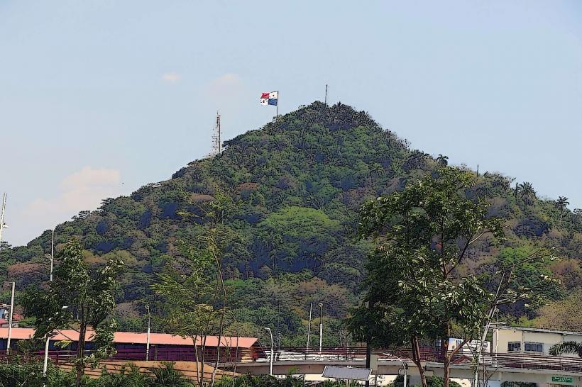
- Metropolitan Natural Park (4.5km North)
- Punta Pacifica (5.0km North)