Information
Landmark: Panama CanalCity: Panama City
Country: Panama
Continent: North America
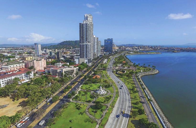
Panama Canal, Panama City, Panama, North America
The Panama Canal is an artificial 82 km waterway in Panama that bisects the Isthmus of Panama, connecting the Atlantic Ocean with the Pacific Ocean.
It is a critical global shipping route, facilitating maritime trade between the two oceans.
Visual Characteristics
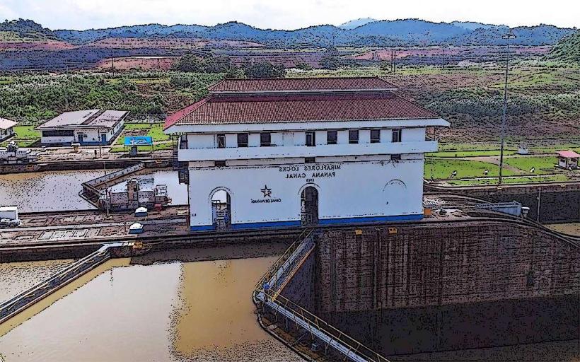
The canal consists of a series of locks, artificial lakes, and channels. The primary locks, such as the Miraflores Locks and the Gatun Locks, are constructed from reinforced concrete. Water levels within the locks are controlled by a system of gates and valves. The surrounding landscape is characterized by tropical rainforest vegetation, with Gatun Lake being a significant artificial freshwater body.
Location & Access Logistics
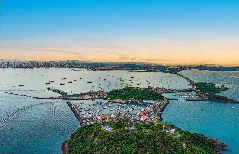
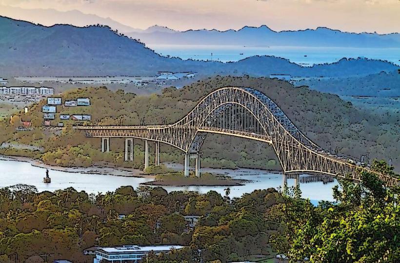
The canal's Pacific entrance is located near Panama City, approximately 10 km west of the city center. Access to visitor centers, such as the Miraflores Visitor Center, is via the Corredor Sur highway. Parking is available at the visitor centers. Public transport options include local buses that run along the Pan-American Highway, with transfers required to reach specific points along the canal.
Historical & Ecological Origin
Construction of the Panama Canal began in 1881 by the French, led by Ferdinand de Lesseps, but was abandoned due to engineering challenges and disease. The United States took over construction in 1904, completing the canal in 1914. The project involved extensive excavation, dam construction (creating Gatun Lake), and the development of the lock system. Ecologically, the canal traverses a region of tropical moist forest, impacting local biodiversity and water systems.
Key Highlights & Activities
Observation decks at the Miraflores Visitor Center provide views of ships transiting the locks. Boat tours are available, offering a closer perspective of the lock operations and the canal's environment. Educational exhibits detail the canal's history and engineering. Wildlife viewing, particularly of birds and monkeys, is possible in the surrounding rainforest areas.
Infrastructure & Amenities
Restrooms are available at visitor centers. Shaded viewing areas are provided at the Miraflores Visitor Center. Cell phone signal (4G/5G) is generally available in visitor areas. Food vendors and restaurants are located within the Miraflores Visitor Center complex.
Best Time to Visit
For optimal viewing of ship transits, visit during mid-morning or late afternoon when traffic is typically higher. The dry season, from December to April, offers more predictable weather. Gatun Lake's water levels can fluctuate, impacting boat tour accessibility during the wet season (May to November).
Facts & Legends
The construction of the Panama Canal is estimated to have cost over $375 million USD (equivalent to billions today) and resulted in the deaths of thousands of workers, primarily from malaria and yellow fever. A unique tip for visitors is to check the daily transit schedule online before arriving to maximize viewing opportunities.
Nearby Landmarks
- Miraflores Locks Visitor Center (0.1km East)
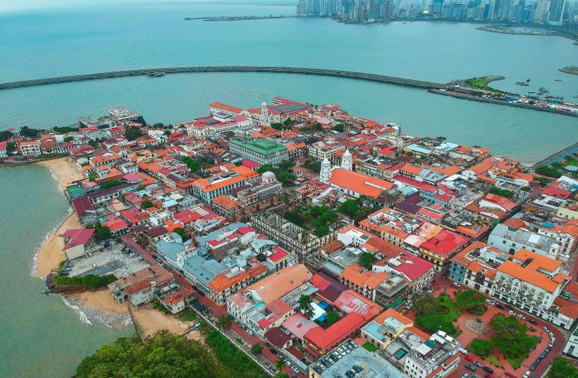
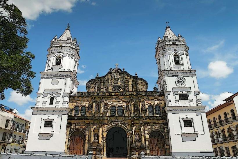
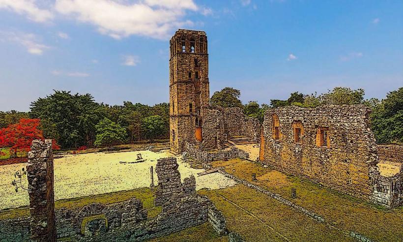
- Panama Viejo (5km Southeast)
- Metropolitan Natural Park (8km East)
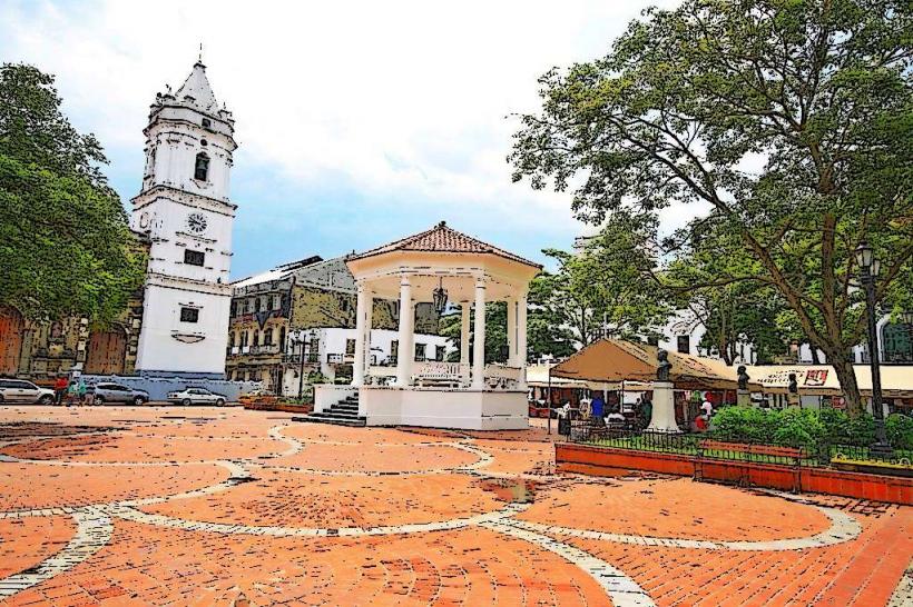
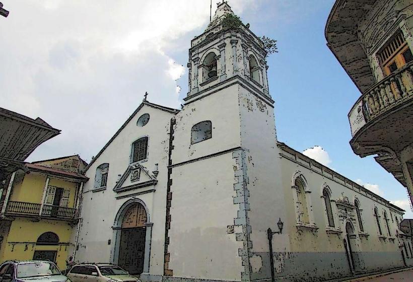
- Casco Viejo (10km East)
- Amador Causeway (12km Southeast)