Information
Landmark: La Cinta CosteraCity: Panama City
Country: Panama
Continent: North America
La Cinta Costera, Panama City, Panama, North America
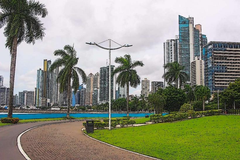
La Cinta Costera is a reclaimed land development and public park situated along the Pacific coast of Panama City, Panama.
It serves as a significant urban recreational space and a buffer against coastal erosion.
Visual Characteristics
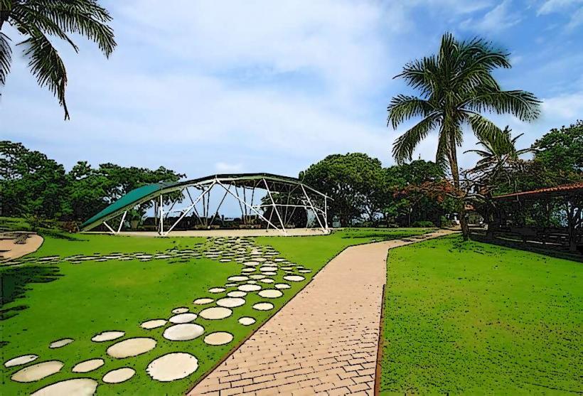
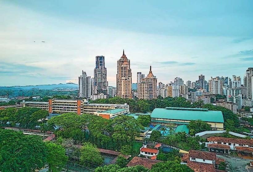
The Cinta Costera features wide, paved promenades, extensive green spaces with manicured lawns, and numerous palm trees. It includes several distinct zones, such as the "Paseo de los Estudiantes" with its amphitheater and the "Parque de la Amistad" with sports facilities. The area is characterized by modern landscaping and open vistas of the Panama Bay and the city skyline. The construction materials include concrete for pathways and structures, with extensive use of imported sand for beach areas and landscaping.
Location & Access Logistics
La Cinta Costera is located on the southern edge of Panama City's financial district. It extends from the intersection of Avenida Balboa and Calle 39 to the area near the causeway. Access is primarily via Avenida Balboa, a major thoroughfare. Parking is available in designated lots along the perimeter, particularly near the stadium and the fish market. Public transport options include numerous city bus routes that run along Avenida Balboa, with stops at various points along the Cinta Costera. Taxis and ride-sharing services are also readily available.
Historical & Ecological Origin
The Cinta Costera project began in the early 2000s, with the first phase completed in 2009. It was developed by the Panamanian government to expand urban space, improve traffic flow, and create recreational areas. The project involved significant land reclamation from the Pacific Ocean. Ecologically, it transformed a previously submerged area into a terrestrial zone, impacting local marine habitats and introducing new terrestrial vegetation.
Key Highlights & Activities
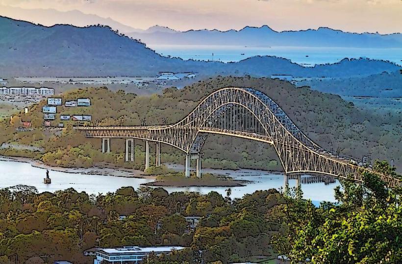
Activities include cycling and rollerblading on dedicated lanes, walking along the promenades, and using the outdoor exercise equipment. The amphitheater hosts public events and performances. Visitors can access the fish market (Mercado de Mariscos) at the eastern end for fresh seafood. The area is also used for organized sporting events and community gatherings. Observation points offer views of the Panama Bay and the Bridge of the Americas.
Infrastructure & Amenities
Restrooms are available at multiple points throughout the Cinta Costera. Shaded areas are provided by trees and some covered structures. Cell phone signal (4G/5G) is generally strong across the entire area. Food vendors and small cafes are located near the fish market and at specific points along the promenades. Water fountains are also present.
Best Time to Visit
The best time of day for photography is during the early morning or late afternoon when the sun angle provides softer light and highlights the city skyline. The best months for weather are generally from December to April, which is the dry season, offering lower humidity and less rainfall. High tide does not significantly impact access or activities on the promenades.
Facts & Legends
A unique aspect of the Cinta Costera is its role in mitigating the effects of king tides, which can cause flooding in lower-lying areas of the city. The reclaimed land acts as a protective barrier. A specific tip for visitors is to explore the less crowded western sections for unobstructed views of the Panama Canal entrance and the Bridge of the Americas, especially during sunset.
Nearby Landmarks
- Mercado de Mariscos (Fish Market) - 0.2km East
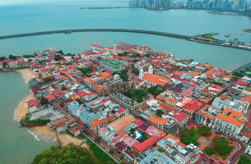
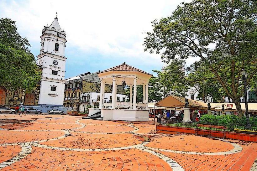
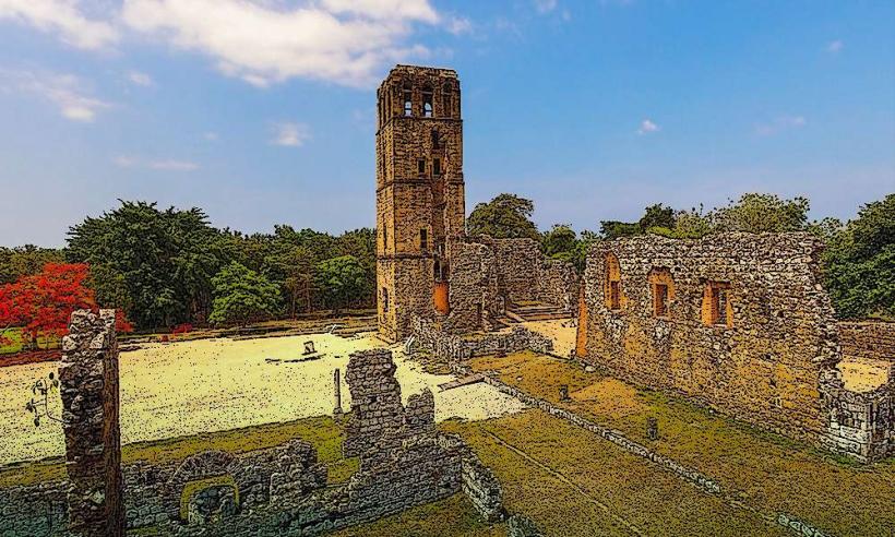
- Casco Viejo (Old Town) - 1.5km East
- Multiplaza Pacific Mall - 2.0km North
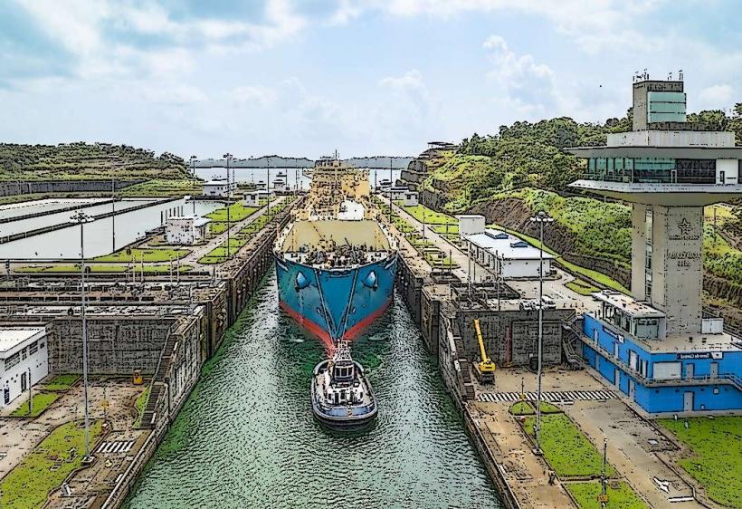
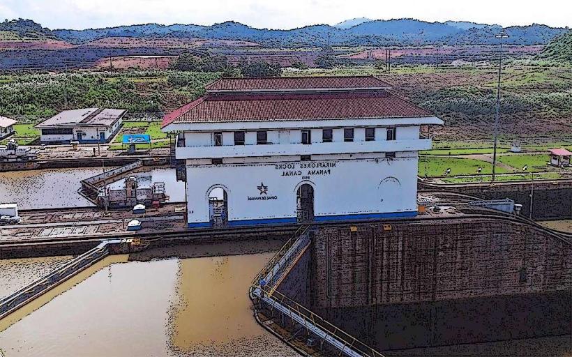
- Panama Canal Miraflores Locks Visitor Center - 8.0km West
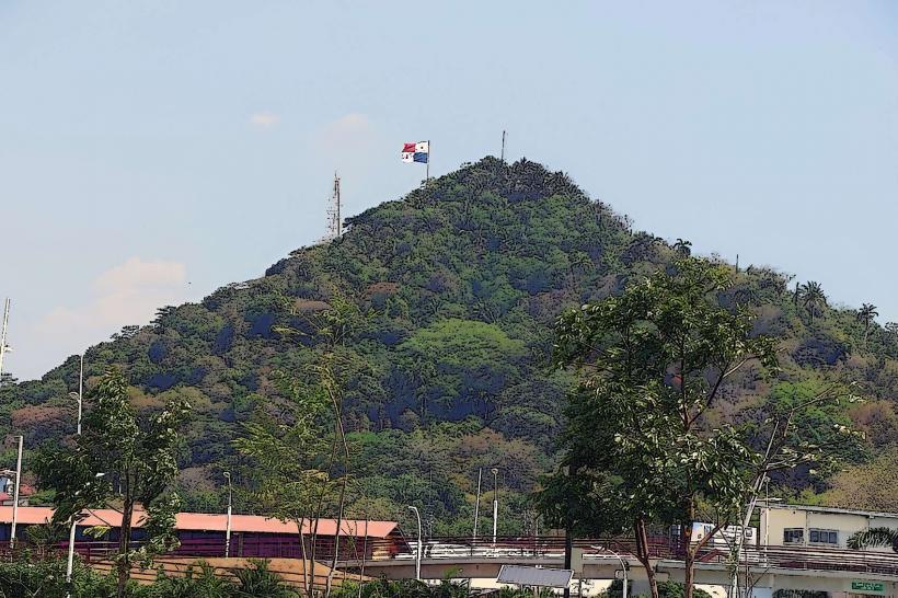
- Metropolitan Natural Park - 4.5km North