Information
Landmark: Amoudi BayCity: Santorini
Country: Greece
Continent: Europe
Amoudi Bay, Santorini, Greece, Europe
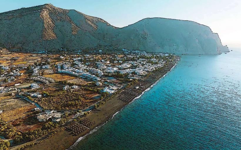
Ammoudi Bay is a small, traditional fishing port located 150 meters directly below the village of Oia on the northwestern tip of Santorini. It is defined by its high-contrast aesthetic of bright turquoise water against towering reddish-volcanic cliffs.
Visual Characteristics
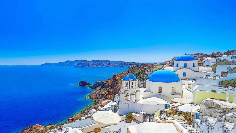
The bay features a small quay lined with traditional seafood tavernas and colorful wooden fishing boats. The architecture consists of small, whitewashed buildings with ochre accents built into the base of the caldera wall. The water is exceptionally deep and clear, reflecting the dark volcanic seabed.
Location & Access Logistics
Access to the bay is primarily via two methods from the Oia Castle area:
Staircase: A steep, winding stone path of 278 steps. The descent takes approximately 10 minutes; the ascent is physically demanding.
Road: A narrow, paved road leads to the bay from the northern perimeter of Oia.
Parking: Extremely limited. A small parking area exists at the end of the road, but it is often congested with delivery vehicles and taxis. Visitors are advised to arrive by foot or taxi.
Sea: Small ferries and catamaran tours frequent the bay, connecting it to Thirassia and the Old Port of Fira.
Historical & Ecological Origin
Originally, Ammoudi served as the primary commercial port for the village of Oia, used for exporting Vinsanto wine and importing raw materials during the 19th and early 20th centuries. The bay is situated at the foot of the Oia cliff, which is composed of iron-rich Scoria and basaltic lava from ancient volcanic cycles.
Key Highlights & Activities
Dining: The bay is world-renowned for its waterfront tavernas specializing in sun-dried octopus and fresh catches.
Swimming & Cliff Diving: A coastal path leads south from the tavernas (approx. 5-minute walk) to a rocky area and the islet of Saint Nicholas, a popular site for deep-water swimming and cliff jumping.
Thirassia Ferry: Small boats depart from the quay for the neighboring island of Thirassia multiple times daily.
Infrastructure & Amenities
Infrastructure is localized to the tavernas. Public restrooms are not available outside of the dining establishments. 5G cellular signal is stable near the quay but can be obstructed by the cliffs along the swimming path. There are no sandy areas; the terrain is exclusively volcanic rock and concrete.
Best Time to Visit
For swimming, arrive before 11:00 to secure a spot on the rocks. For dining, late afternoon is optimal to watch the sunset colors hit the red cliffs, though the sun itself disappears behind the horizon earlier than it does from the village above.
Facts & Legends
A verified historical oddity is that until the 1980s, donkeys were the only method for transporting heavy goods and fish up the 278 steps to Oia. Today, while donkeys are still present, they are primarily a tourist attraction.
Nearby Landmarks
Oia Village: 150m vertical (via stairs)
Armeni Bay: 0.5km South (via boat)
Saint Nicholas Islet: 0.2km South (via swimming path)
Thirassia Island: 2km West (via boat)