Information
Landmark: Skaros RockCity: Santorini
Country: Greece
Continent: Europe
Skaros Rock, Santorini, Greece, Europe
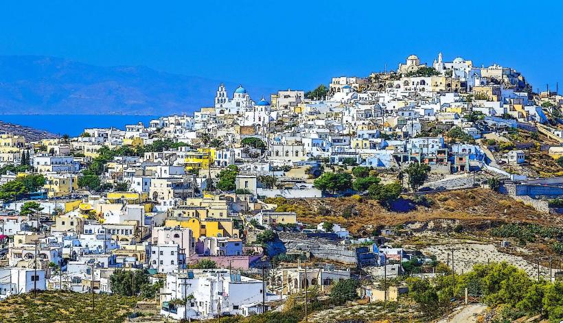
Skaros Rock is a conical promontory and geological landmark located in Imerovigli, Santorini. It was the site of the island's most significant medieval fortress and its former capital.
Visual Characteristics
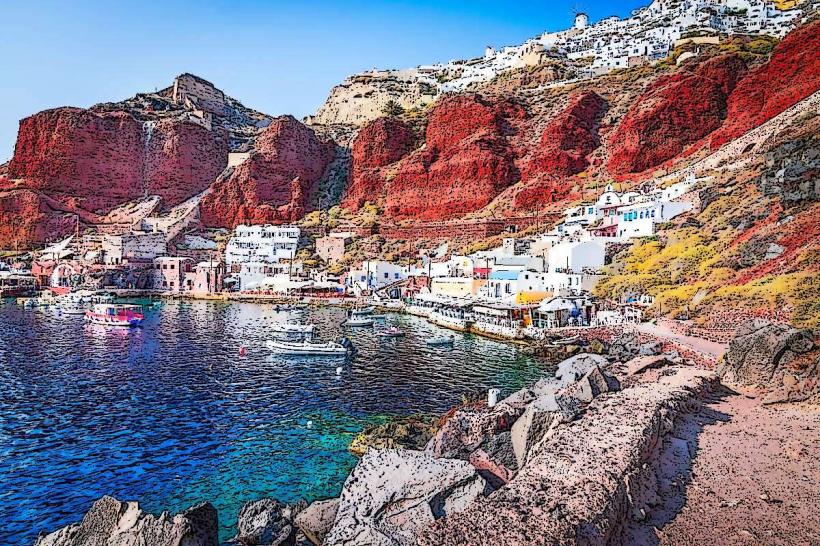
The site is a massive, dark silicate-rich volcanic headland protruding into the Caldera. It features vertical cliffs and a flat-topped summit reachable by a narrow stone path. The rock is composed of layered basalt and volcanic ash. Remnants of stone walls, vaulted rooms, and a Byzantine-era church (Theoskepasti) on its western base are the only surviving architectural features.
Location & Access Logistics
The rock is situated directly in front of the village of Imerovigli.
Access: Entrance is via a descending stone staircase starting near the Church of Agios Georgios in Imerovigli. The trek to the base and the climb to the top takes approximately 20–30 minutes.
Transit: KTEL bus lines (Fira–Oia route) stop at "Imerovigli."
Parking: Limited public parking is available at the entrance of Imerovigli; pedestrian transit from the village center to the trailhead is mandatory.
The path involves steep declines and sections with no railings; sturdy footwear is required.
Historical & Ecological Origin
Constructed in 1207 AD by the Venetians, the Castle of Skaros served as the administrative capital of Santorini and the residence of the Nobility. Its position made it impregnable to pirate raids for centuries. The settlement was abandoned in the 18th century following a series of volcanic eruptions and seismic shifts that rendered the structure unstable. Residents relocated to Fira.
Key Highlights & Activities
Panagia Theoskepasti: A secluded white church built on a ledge on the far side of the rock, offering views of the submerged crater.
Summit Climb: The final ascent to the peak requires basic rock scrambling.
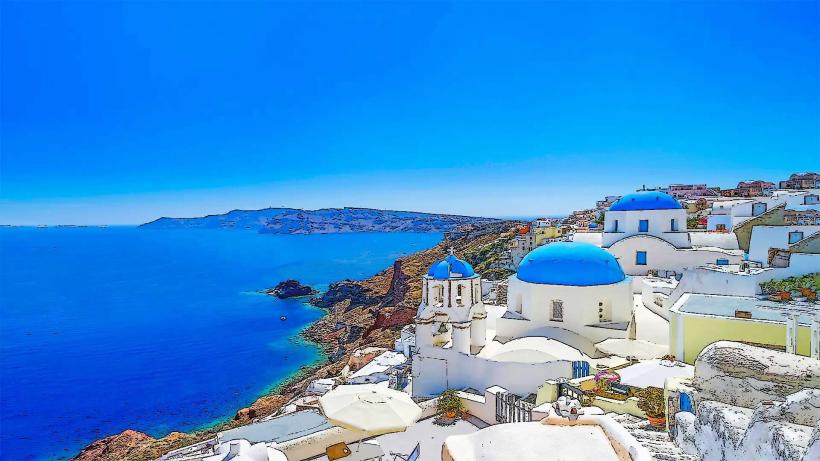
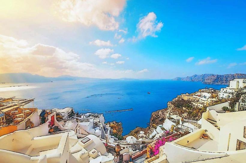
Viewing Perspective: It provides the most central 360-degree view of the entire caldera crescent, from Oia to Akrotiri.
Infrastructure & Amenities
There is no infrastructure on the rock itself. No water, shade, or restrooms are available once you leave the village of Imerovigli. 5G cellular signal is stable at the summit but may drop in the shadow of the cliffs. The trail is unlit and unsuitable for transit after dark.
Best Time to Visit
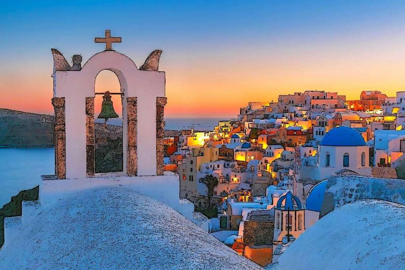
Mornings (07:00–09:00) provide cooler temperatures for the ascent. Sunset is the most popular time for photography, as the sun sets directly behind the rock when viewed from the village, but the return hike uphill in the fading light requires caution.
Facts & Legends
A verified historical fact is that the Castle of Skaros was never conquered by force during its 500-year history. Local lore suggests the existence of secret tunnels connecting the fortress to the sea, though only cisterns and storage cellars have been archaeologically confirmed.
Nearby Landmarks
Imerovigli Village: 0.3km East (above)
Church of Anastasi: 0.5km East
Firostefani: 1.5km South
Prophet Elias (Imerovigli): 0.4km North