Information
Landmark: Applegate LakeCity: Medford
Country: USA Oregon
Continent: North America
Applegate Lake, Medford, USA Oregon, North America
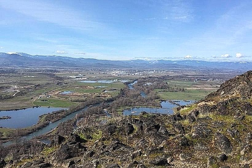
Applegate Lake is a reservoir located in Jackson County, Oregon, approximately 30 miles southwest of Medford.
It is formed by the Applegate Dam on the Applegate River.
Visual Characteristics
The lake's surface area varies with water levels, typically covering 690 acres at full pool. The surrounding terrain consists of coniferous forests, primarily Douglas fir and ponderosa pine, with granite and metamorphic rock formations visible along the shoreline. Water color ranges from deep blue to greenish-brown depending on sediment load and algae presence.
Location & Access Logistics
Access to Applegate Lake is via County Road 105 (Applegate Lake Road) from Interstate 5 Exit 19. The drive from Medford city center is approximately 30 miles and takes about 45 minutes. Several parking areas are available at trailheads and day-use sites around the lake. Public transport is not available to the lake.
Historical & Ecological Origin
Applegate Dam was constructed by the U.S. Army Corps of Engineers and completed in 1980. Its primary purpose is flood control, water supply for irrigation, and recreation. The lake is situated within the Siskiyou Mountains, an area known for its diverse ecosystems and geological history.
Key Highlights & Activities
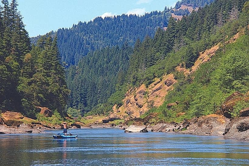
Activities include boating (non-motorized and limited motorized use), fishing for rainbow trout and kokanee salmon, hiking on the 10.5-mile perimeter trail, and picnicking at designated sites. Kayaking and paddleboarding are popular on the water. Swimming is permitted but not in designated boat launch areas.
Infrastructure & Amenities
Restrooms are available at day-use areas and campgrounds. Shade is provided by natural tree cover in many areas. Cell phone signal is intermittent and generally unreliable within the lake basin. Limited food and supply options are available in the nearby community of Applegate, approximately 5 miles from the dam.
Best Time to Visit
The best months for visiting are May through October, when weather is typically dry and warm. Summer months (July-August) offer the warmest water temperatures for water activities. Early morning and late afternoon provide optimal lighting for photography due to reduced glare on the water. High tide is not a relevant factor for this freshwater reservoir.
Facts & Legends
A specific geological feature known as "The Wall" is a sheer granite cliff face on the western side of the lake, popular with rock climbers. Local folklore sometimes refers to unusual wave patterns on calm days, attributed by some to underwater springs, though these are more likely wind-driven phenomena.
Nearby Landmarks
- Jacksonville Historic District (15km Northeast)
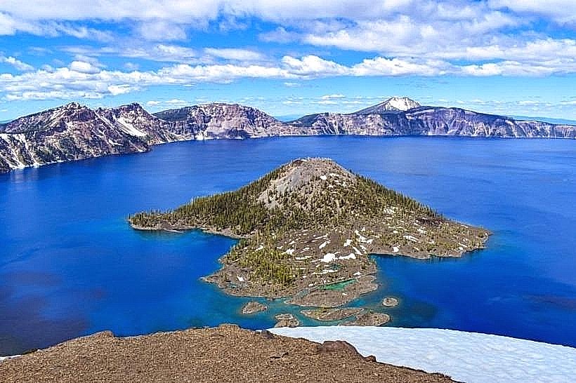
- Crater Lake National Park (approx. 80km East)
- Oregon Caves National Monument & Preserve (approx. 50km Southwest)
- Bear Creek Greenway (starts within 20km East)