Information
Landmark: Upper and Lower Table RockCity: Medford
Country: USA Oregon
Continent: North America
Upper and Lower Table Rock, Medford, USA Oregon, North America
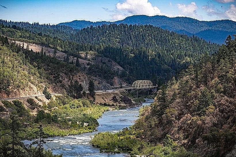
Upper and Lower Table Rock are prominent geological formations located near Medford, Oregon. These flat-topped mesas rise significantly above the surrounding Rogue Valley.
Visual Characteristics
The mesas are composed of basalt rock, exhibiting a predominantly grey and brown coloration. Their defining feature is the extensive, level summit plateau. The slopes leading up to the plateau are characterized by scree fields and sparse vegetation, primarily consisting of grasses, shrubs, and scattered ponderosa pines. The elevation of Upper Table Rock is approximately 3,200 feet (975 meters), with Lower Table Rock being slightly lower.
Location & Access Logistics
Table Rock is situated approximately 8 miles (13 kilometers) northeast of Medford city center. Access is via Table Rock Road, which is paved for a significant portion of the route. Parking is available at designated lots at the base of both Upper and Lower Table Rock. Public transportation options to the immediate vicinity are limited; visitors typically require private vehicles. The trailhead for Upper Table Rock is located at the end of the paved road, while Lower Table Rock has a separate access point off Table Rock Road.
Historical & Ecological Origin
Table Rock formations are remnants of ancient lava flows from volcanic activity in the region. Specifically, they are erosional remnants of a basalt cap that once covered a much larger area. The geological formation type is a mesa. Ecologically, the area supports a semi-arid grassland and shrubland ecosystem, adapted to the dry climate and thin soils found on the mesa tops.
Key Highlights & Activities
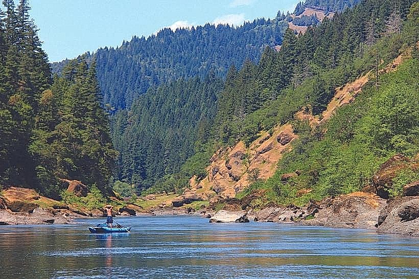
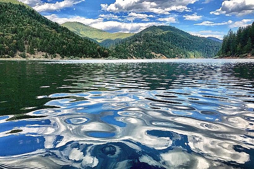
Hiking is the primary activity. The trail to the summit of Upper Table Rock is a moderate 3.5-mile (5.6 km) out-and-back hike. The trail to Lower Table Rock is shorter and less strenuous. Summit exploration allows for panoramic views of the Rogue Valley, including the Cascade Mountains to the east and the Siskiyou Mountains to the south. Birdwatching is also a common activity, with raptors frequently observed soaring above the mesas.
Infrastructure & Amenities
Restrooms are available at the trailhead parking areas for both Upper and Lower Table Rock. Shade is minimal on the trails and summit, with limited tree cover. Cell phone signal (4G/5G) is generally available at the base and on the lower portions of the trails, but can be intermittent at the summit. No food vendors are present at the site; visitors should bring their own provisions.
Best Time to Visit
The best time of day for photography is during the early morning or late afternoon for optimal lighting on the rock formations and valley views. The best months for visiting are April through June and September through October, avoiding the extreme heat of summer and potential winter ice. Hiking is best done in the morning to avoid midday sun exposure.
Facts & Legends
The flat tops of the mesas are a result of differential erosion, where the hard basalt cap protected the underlying softer rock from wearing away as quickly as the surrounding land. Local indigenous tribes have historically used the Table Rocks for observation and spiritual purposes.
Nearby Landmarks
- Rogue Valley Country Club (2.5km Southwest)
- Bear Creek Greenway (3.0km West)
- Crater Rock Museum (4.0km Northwest)
- Jackson County Expo (4.5km South)