Information
Landmark: Crater Lake National ParkCity: Medford
Country: USA Oregon
Continent: North America
Crater Lake National Park, Medford, USA Oregon, North America
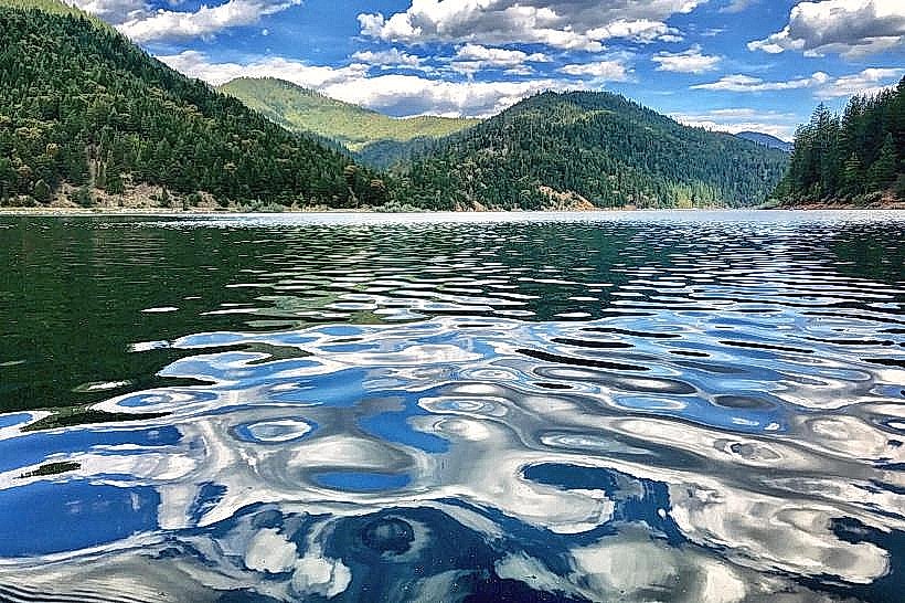
Crater Lake National Park is a caldera lake located in southern Oregon, USA. It is the deepest lake in the United States and is known for its intense blue color.
Visual Characteristics
The lake occupies a caldera formed by the collapse of Mount Mazama. The water color ranges from deep blue to turquoise, influenced by dissolved minerals and depth. The caldera rim is composed of volcanic rock, primarily andesite, with elevations reaching over 8,000 feet. Several prominent rock formations, including Wizard Island, a cinder cone, are visible within the lake.
Location & Access Logistics
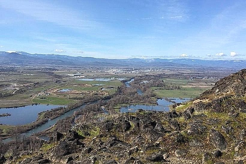
Crater Lake National Park is situated approximately 60 miles northeast of Medford, Oregon. Access is via State Route 62. The main park entrance is accessible from the west. During winter months, snow can close roads, limiting access. Parking is available at designated lots near Rim Village and various pull-offs along Rim Drive. The nearest major airport is Rogue Valley International–Medford Airport (MFR).
Historical & Ecological Origin
Crater Lake was formed approximately 7,700 years ago by the catastrophic eruption and subsequent collapse of Mount Mazama, a stratovolcano. The caldera then filled with rainwater and snowmelt over centuries. The park was established as the fifth national park in the United States on May 22, 1902.
Key Highlights & Activities
Hiking trails include the Cleetwood Cove Trail, the only access point to the lake shore for boat tours. Boat tours operate seasonally, offering a closer view of Wizard Island and Phantom Ship. Ranger-led programs are available. Photography is a primary activity, with specific viewpoints offering distinct perspectives of the lake and caldera.
Infrastructure & Amenities
Restrooms are available at Rim Village and other designated areas. Limited shade is present at developed viewpoints. Cell phone signal is intermittent within the park, with stronger reception near Rim Village. Food services are available seasonally at Rim Village. No food vendors are present along Rim Drive.
Best Time to Visit
The best time for full access to Rim Drive and boat tours is typically July through September. For photography, early morning and late afternoon offer optimal lighting conditions, minimizing glare on the water's surface. Snowfall can begin as early as October, impacting road accessibility.
Facts & Legends
Local Klamath Indian legends speak of a battle between the sky god Llao and the earth god Skell, which resulted in the destruction of Mount Mazama and the formation of Crater Lake. A specific tip for visitors is to check the park's official website for current road conditions and closures before arrival, especially during shoulder seasons.
Nearby Landmarks
- Oregon Caves National Monument & Preserve (45km Southwest)
- Upper Klamath Lake (30km Southeast)
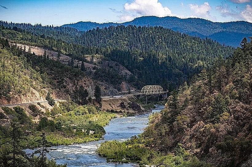
- Rogue River Gorge (25km West)
- Mount Shasta (120km South)