Information
Landmark: Rogue River-Siskiyou National ForestCity: Medford
Country: USA Oregon
Continent: North America
Rogue River-Siskiyou National Forest, Medford, USA Oregon, North America
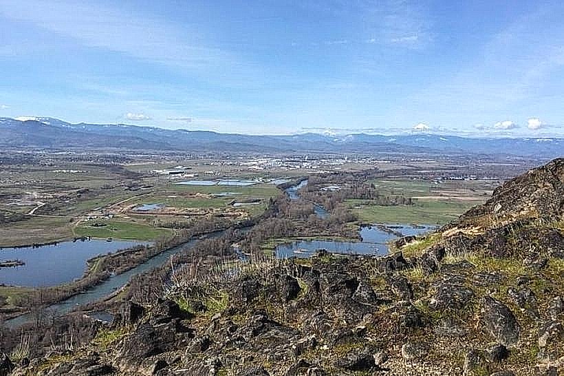
The Rogue River-Siskiyou National Forest is a protected area in southwestern Oregon, USA. It encompasses a significant portion of the Rogue River watershed and adjacent mountain ranges.
Visual Characteristics
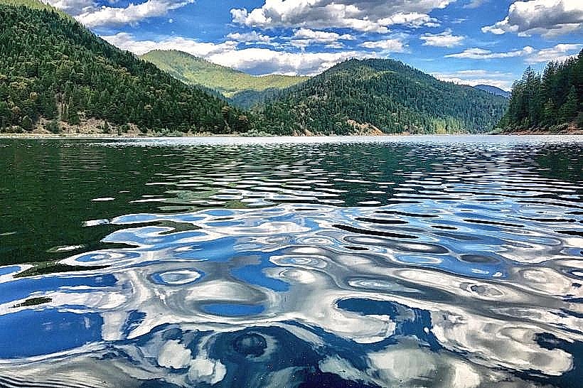
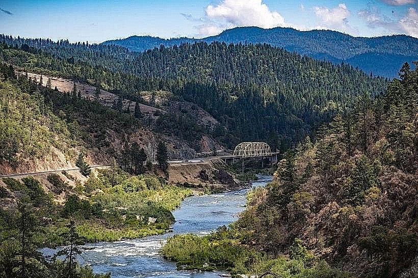
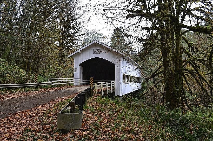
The forest is characterized by dense coniferous forests, primarily Douglas fir, ponderosa pine, and white fir. Elevations range from approximately 1,000 feet near the Rogue River to over 7,000 feet in the Siskiyou Mountains. The Rogue River itself exhibits clear, fast-flowing water with sections of whitewater rapids and calmer pools. Rock formations include granite and metamorphic rock, with exposed cliff faces in steeper terrain. Understory vegetation varies with elevation, featuring ferns, huckleberry bushes, and various wildflowers during warmer months.
Location & Access Logistics
The Rogue River-Siskiyou National Forest is located south of Medford, Oregon. Access points are numerous, with major routes including Interstate 5 (I-5) which runs along the western edge of the forest. State Highway 199 (Redwood Highway) provides access from the south. Forest roads, often unpaved and requiring high-clearance vehicles, branch off these highways to reach various trailheads and recreation areas. Medford is the nearest major city, approximately 20 miles north of the forest's southern boundary. Parking is available at designated trailheads and campgrounds; availability varies by location and season. Public transport is limited within the forest; visitors typically require personal vehicles.
Historical & Ecological Origin
The Rogue River-Siskiyou National Forest was established through the consolidation of the Rogue River National Forest and the Siskiyou National Forest in 2007. The Rogue River National Forest was originally established in 1908, and the Siskiyou National Forest in 1906. The region's geology is complex, with the Siskiyou Mountains being one of the oldest mountain ranges in North America, formed by tectonic activity and erosion over millions of years. The area is a biodiversity hotspot, recognized for its unique plant communities and endemic species, influenced by its varied topography and climate.
Key Highlights & Activities
Hiking is a primary activity, with trails such as the Rogue River Trail offering multi-day backpacking opportunities. Whitewater rafting and kayaking are popular on the Rogue River, particularly during spring and early summer runoff. Fishing for trout and salmon is permitted in designated areas. Rock climbing is possible on certain granite formations. Wildlife viewing, including Roosevelt elk and black bears, is common. Campfire permits are required for campfires outside of designated fire rings.
Infrastructure & Amenities
Restrooms are available at major campgrounds and some developed recreation sites. Shade is abundant within the forested areas. Cell phone signal is intermittent and generally unreliable throughout most of the forest, with stronger signals sometimes available near major access points or higher elevations. Food vendors are not present within the national forest; visitors should plan to bring their own supplies. Several developed campgrounds offer basic amenities like picnic tables and fire rings.
Best Time to Visit
The best time for hiking and general forest exploration is from late spring (May) through early fall (October), avoiding the heavy snowpack at higher elevations. For whitewater activities on the Rogue River, the peak season is typically May through July, depending on snowmelt and rainfall. Mid-day offers the harshest sunlight for photography; early morning and late afternoon provide softer lighting. High tide is not a relevant factor for this inland forest location.
Facts & Legends
The Rogue River is one of the original rivers designated under the Wild and Scenic Rivers Act of 1968, preserving its natural character. A specific tip for visitors is to be aware of the potential for sudden weather changes, especially at higher elevations, and to carry appropriate gear for rain and temperature drops, even during summer months.
Nearby Landmarks
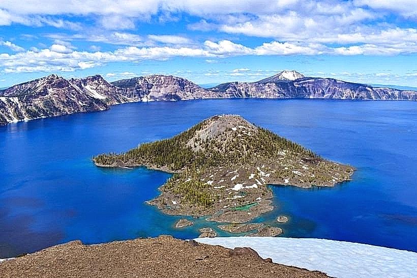
- Crater Lake National Park (45km Northeast)
- Oregon Caves National Monument & Preserve (30km Southwest)
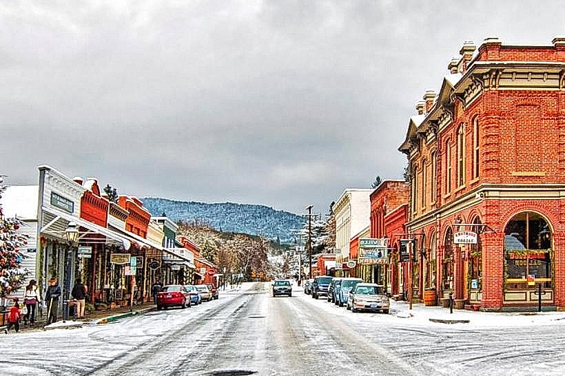
- Grants Pass (35km Northwest)
- Ashland (25km North)
- Kalmiopsis Wilderness (20km West)