Information
Landmark: Baie des CayesCity: Les Cayes
Country: Haiti
Continent: North America
Baie des Cayes, Les Cayes, Haiti, North America
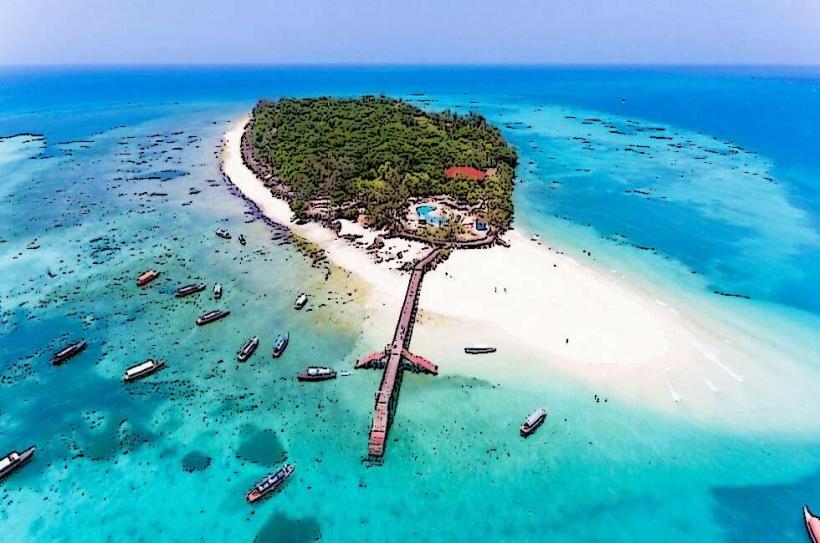
Baie des Cayes is a coastal bay located in the vicinity of Les Cayes, Haiti.
This geographical feature serves as a significant natural harbor and a point of interest along the southwestern coast of Haiti.
Visual Characteristics
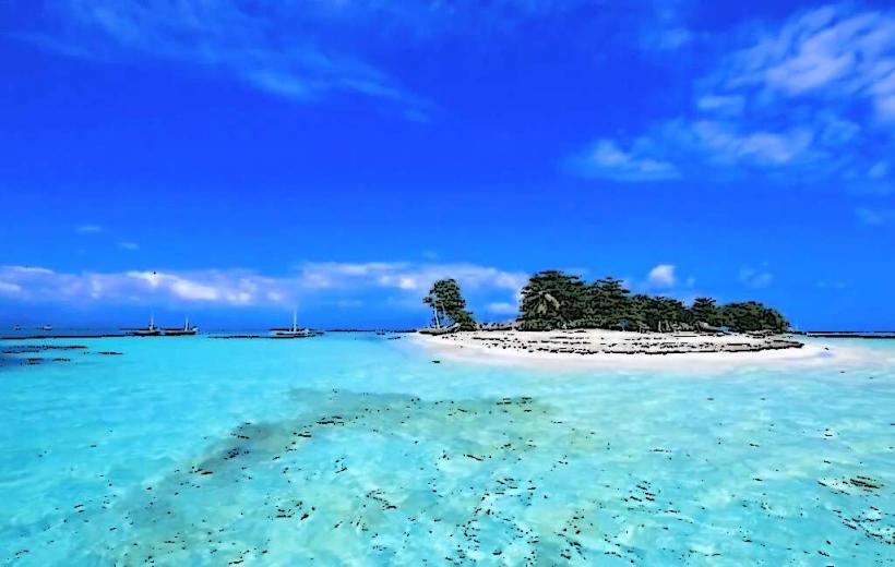
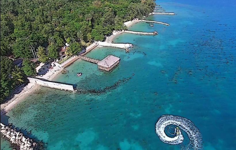
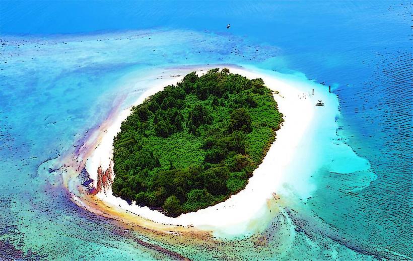
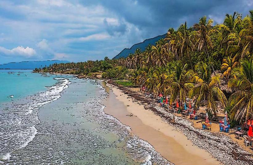
The bay is characterized by its calm, shallow waters, typically exhibiting a light blue to turquoise hue depending on depth and sunlight. The shoreline consists of a mix of sandy beaches and mangrove fringes. Offshore, the seabed is largely composed of sand and coral fragments. The surrounding land is generally low-lying, with sparse vegetation in some areas and denser growth closer to the water's edge.
Location & Access Logistics
Baie des Cayes is situated approximately 3 kilometers west of the city center of Les Cayes. Access is primarily via Route Nationale 7 (RN7), turning south onto local roads leading towards the coast. Parking is available in designated informal areas near the shoreline, though it is not a formal facility. Public transport options are limited; local tap-taps (shared taxis) can reach the outskirts of Les Cayes, requiring a further walk or local arrangement for direct access to the bay.
Historical & Ecological Origin
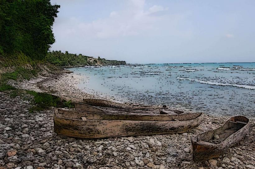
The bay's formation is a result of coastal erosion and sedimentation processes common to tropical coastlines. Ecologically, it functions as a shallow marine environment supporting a variety of coastal flora and fauna, including mangrove ecosystems which are crucial for shoreline stabilization and as nurseries for marine life. Historically, the bay has served as a natural harbor, facilitating local fishing and small-scale maritime activities for centuries.
Key Highlights & Activities
Activities include observing local fishing boats, walking along the shoreline, and swimming in the sheltered waters. Birdwatching is possible in the mangrove areas. Limited opportunities exist for small-scale boat excursions arranged locally.
Infrastructure & Amenities
There are no formal public restrooms or shade structures directly at Baie des Cayes. Cell phone signal (2G/3G) is generally available. Basic food and drink vendors may be present on weekends or during local events, but are not consistently available.
Best Time to Visit
The best time for clear water visibility and calm conditions is during the dry season, from December to April. Mid-morning offers good natural light for observing the water color. High tide is generally preferable for swimming due to shallower depths at low tide.
Facts & Legends
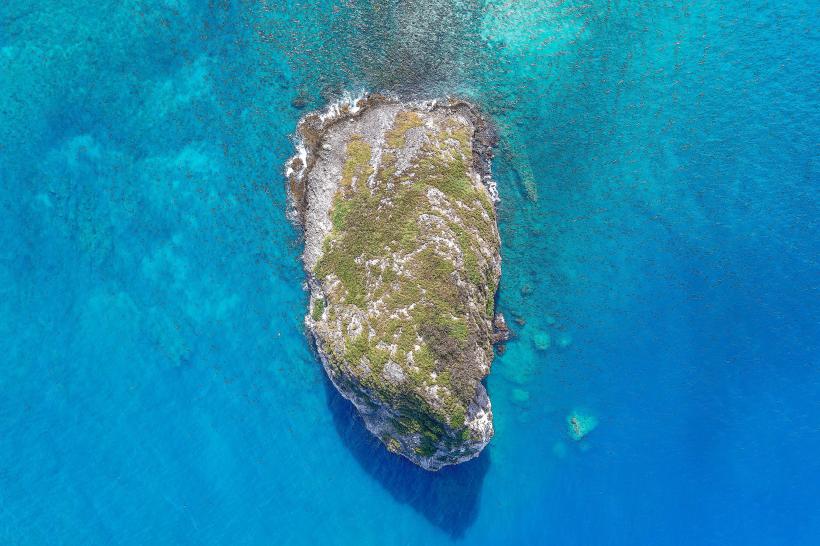
Local lore suggests that the bay was a favored spot for clandestine meetings during periods of political unrest due to its relative seclusion. A specific point of interest is a cluster of large, smooth rocks on the western edge of the bay, locally referred to as "The Sleeping Giants."
Nearby Landmarks
- Citadelle Laferrière (approx. 150km Northeast)
- Bassins Bleu (approx. 40km North)
- Île-à-Vache (approx. 10km South, accessible by boat)
- Marché de Les Cayes (approx. 3km East)
- Fortifications of Jacmel (approx. 180km East)