Information
Landmark: Tête à l'AnglaisCity: Les Cayes
Country: Haiti
Continent: North America
Tête à l'Anglais, Les Cayes, Haiti, North America
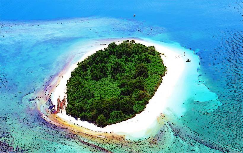
The Tête à l'Anglais is a significant rock formation located off the coast of Les Cayes, Haiti.
This natural monument is a prominent feature of the Haitian coastline.
Visual Characteristics
The Tête à l'Anglais is a large, weathered limestone monolith rising from the sea. Its surface is characterized by erosion patterns, creating a rough texture. The rock exhibits a pale grey to off-white coloration, depending on the lighting conditions and moisture content.
Location & Access Logistics
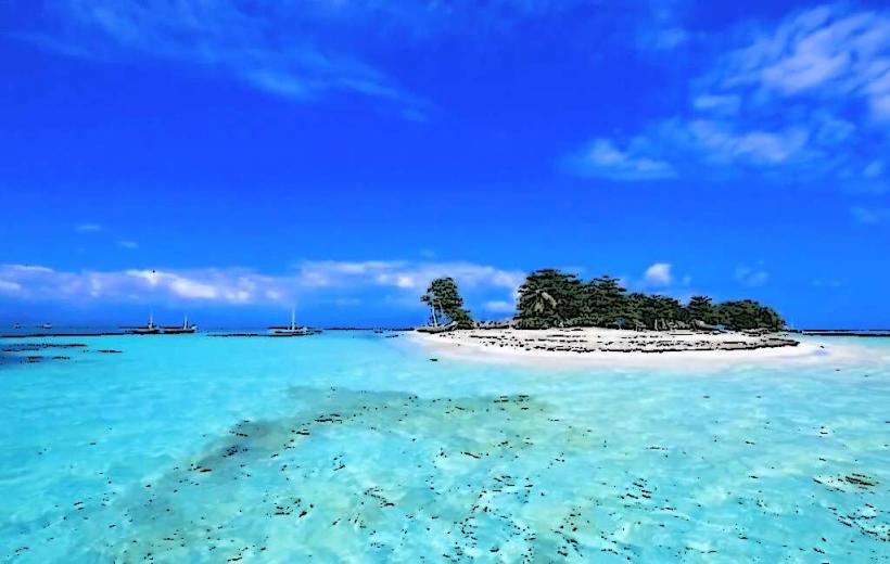
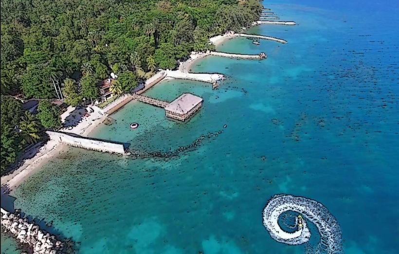
The Tête à l'Anglais is situated approximately 3 kilometers offshore from the city of Les Cayes. Access is exclusively by boat. Local fishermen in Les Cayes offer charter services to reach the formation. The journey typically takes 15-20 minutes from the Les Cayes harbor. There is no direct road access or parking at the site itself.
Historical & Ecological Origin
The Tête à l'Anglais is a natural geological formation, primarily composed of sedimentary limestone. It was shaped over millennia by the erosive forces of wind and sea. Its current form is a result of differential weathering of the rock strata.
Key Highlights & Activities
Observation of the rock formation from a boat is the primary activity. The surrounding waters are suitable for swimming and snorkeling, particularly on the leeward side of the formation where calmer conditions may exist. Boat tours often circle the monolith to provide views from multiple angles.
Infrastructure & Amenities
There are no facilities or infrastructure directly on or around the Tête à l'Anglais. Visitors should arrange for all necessary supplies, including water and food, before departing from Les Cayes. Cell phone reception may be intermittent once offshore.
Best Time to Visit
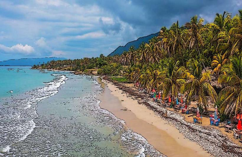
The best time of day for viewing and photography is generally in the late morning or early afternoon when the sun is higher, providing direct illumination. The dry season, from November to April, offers the most favorable sea conditions. Calm seas are preferable for boat access and any water-based activities.
Facts & Legends
Local folklore suggests the rock formation resembles the profile of an Englishman, hence its name "Tête à l'Anglais" (Englishman's Head). While its geological origin is clear, the specific historical event or individual that inspired the name remains a subject of local storytelling.
Nearby Landmarks
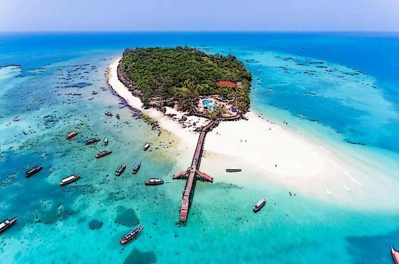
- Île-à-Vache: 8km South-West
- Port-Salut Beach: 12km West
- Citadelle de Port-Salut: 13km West
- Anse d'Ainault: 15km North-West