Information
Landmark: Riviere des RempartsCity: Les Cayes
Country: Haiti
Continent: North America
Riviere des Remparts, Les Cayes, Haiti, North America
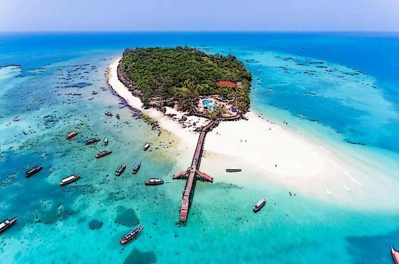
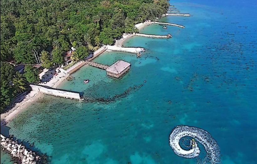
Riviere des Remparts is a river located in the vicinity of Les Cayes, Haiti. It serves as a natural boundary and a significant geographical feature in the region.
Visual Characteristics
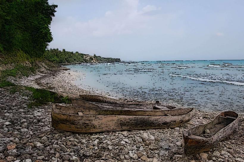
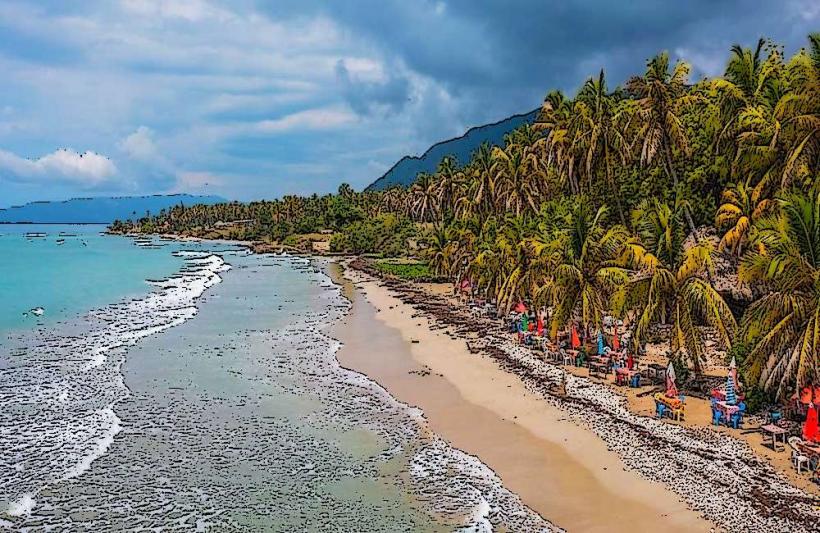
The river's water color varies from muddy brown to a lighter tan depending on recent rainfall and sediment load. The banks are characterized by dense tropical vegetation, including palm trees and various shrubs. The riverbed consists of sand and gravel, with exposed rocks in shallower sections. The width of the river fluctuates, typically ranging from 10 to 30 meters.
Location & Access Logistics
Riviere des Remparts is situated approximately 5 kilometers east of the city center of Les Cayes. Access is primarily via Route Nationale 2 (RN2), a paved highway. Turn south onto a dirt road approximately 3 kilometers east of Les Cayes. This road leads directly to the river. Parking is informal and available along the dirt access road. Public transport options are limited; local tap-taps (shared taxis) operate on RN2, requiring a walk of approximately 1 kilometer from the highway to the river.
Historical & Ecological Origin
The river is a natural watercourse formed by regional drainage patterns. Its ecological origin is tied to the mountainous terrain inland, which feeds into the river system. Historically, its name, "Remparts" (Ramparts), suggests it may have served as a natural defensive line or boundary in past eras, though specific historical documentation for this is scarce.
Key Highlights & Activities
Observation of local flora and fauna is possible from the riverbanks. The river is not typically used for recreational swimming due to water quality and current. Limited fishing by local residents occurs in certain sections. Walking along the riverbanks is feasible in drier periods.
Infrastructure & Amenities
There are no formal infrastructure or amenities directly at Riviere des Remparts. Restrooms, shade, and food vendors are not present. Cell phone signal (2G/3G) is generally available along RN2 but can be intermittent near the river itself.
Best Time to Visit
The best time of day for observing the river's natural state is during daylight hours. The dry season, from December to March, offers more stable water levels and clearer banks. During the rainy season (April to November), water levels can rise significantly, and the river may become impassable.
Facts & Legends
Local folklore suggests that during periods of heavy rain, the river's currents can be exceptionally strong, and it is said to have occasionally flooded areas closer to the coast. A specific historical anecdote mentions its use as a demarcation point in land disputes during the colonial period.
Nearby Landmarks
- Citadelle Les Cayes (approx. 3km West)
- Marché de Les Cayes (approx. 5km West)
- Anse d'Azur Beach (approx. 7km Southwest)
- Fortifications of Les Cayes (approx. 4km West)