Information
Landmark: Bay of MananjaryCity: Mananjary
Country: Madagascar
Continent: Africa
Bay of Mananjary, Mananjary, Madagascar, Africa
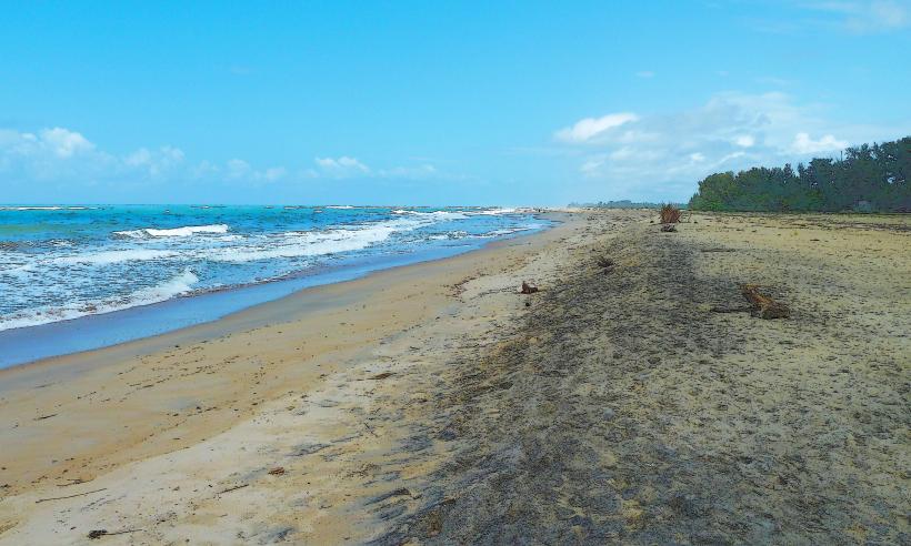
The Bay of Mananjary is a natural coastal indentation on the eastern coast of Madagascar, serving as a natural harbor for the town of Mananjary. It provides direct access to the Indian Ocean and is a key point for local maritime activities.
Visual Characteristics
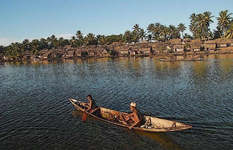
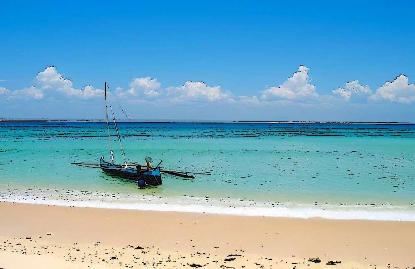
The bay features a sandy shoreline, often bordered by coconut palms and other coastal vegetation. Water color varies from a greenish-blue near the shore, influenced by the Mananjary River's outflow, to a deeper blue further into the Indian Ocean. The bay's depth is relatively shallow near the immediate coastline, gradually increasing towards its mouth.
Location & Access Logistics
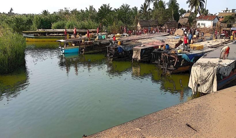
The Bay of Mananjary is situated directly east of the town of Mananjary. Access to the town and bay is primarily via Route Nationale 25 (RN 25), which connects Mananjary to Fianarantsoa. The town center is adjacent to the bay, allowing for direct pedestrian access. Informal parking is available along the waterfront roads within Mananjary. Local transport options include pousse-pousse (rickshaws) and taxis for travel within the town. The bay also serves as a primary access point for pirogues and small boats navigating the Canal des Pangalanes.
Historical & Ecological Origin
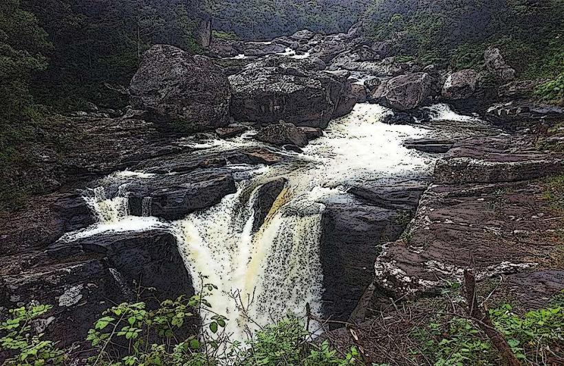
The Bay of Mananjary is a natural geological formation, shaped by the dynamic interaction of the Indian Ocean's currents and the sediment discharge from the Mananjary River. Its formation is part of the broader coastal geomorphology of eastern Madagascar, characterized by a narrow coastal plain. Ecologically, it functions as an estuarine environment, where freshwater from the river mixes with saltwater from the ocean, supporting a diverse ecosystem.
Key Highlights & Activities
Local fishing is a prominent activity, with traditional pirogues frequently seen operating within the bay. Boat trips can be arranged to explore the bay's perimeter or to access the adjacent Canal des Pangalanes. Swimming is possible along designated areas, though awareness of local currents and boat traffic is advised. Observing the daily activities of local fishermen and the informal market along the shore provides cultural insight.
Infrastructure & Amenities
Basic infrastructure is available in the adjacent town of Mananjary. Restrooms are accessible in local restaurants and guesthouses near the bay. Natural shade is provided by palm trees along parts of the shoreline. Cell phone signal (2G/3G, with limited 4G coverage) is generally available within Mananjary. Several small food vendors and local restaurants are located in the town center, within walking distance of the bay.
Best Time to Visit
The dry season, extending from April to November, offers the most favorable weather conditions with reduced rainfall and calmer seas. Early mornings are ideal for boat excursions and photography, benefiting from softer light and typically calmer waters. Late afternoons also provide good lighting for photography.
Facts & Legends
The Mananjary River, which empties into the bay, holds significant historical importance for the local Betsimisaraka and Antambahoaka communities, serving as a vital artery for trade and transport for centuries. A local belief suggests that the bay's waters possess a unique spiritual energy, particularly at the river mouth, where offerings are sometimes made for safe passage.
Nearby Landmarks
- Canal des Pangalanes: 0.1km West (directly connected)
- Mananjary Lighthouse: 1km East
- Mananjary Market: 0.5km West
- Mananjary River Mouth: 0km (part of the bay)