Information
Landmark: Mananjary PortCity: Mananjary
Country: Madagascar
Continent: Africa
Mananjary Port, Mananjary, Madagascar, Africa
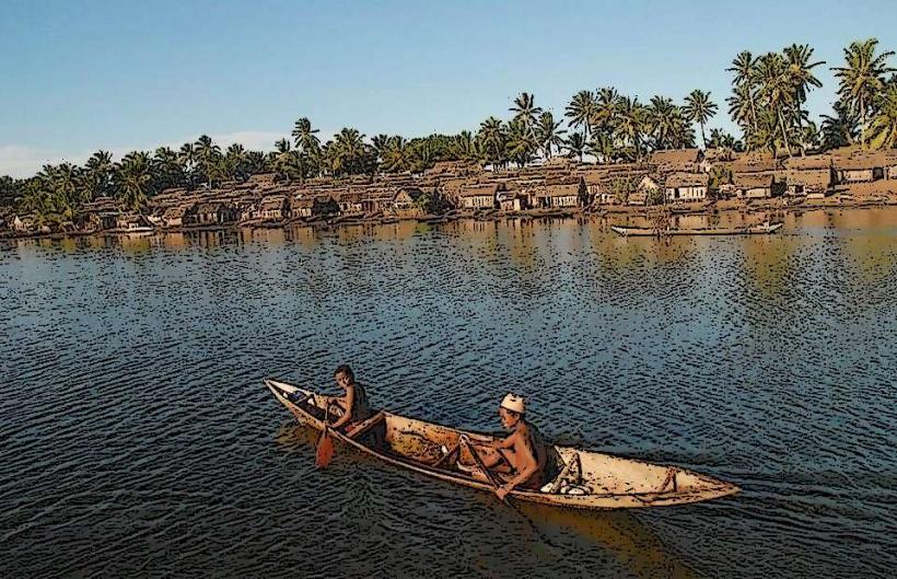
The Mananjary Port is a functional maritime facility located on the eastern coast of Madagascar, within the town of Mananjary. It serves as a crucial hub for local trade and transportation along the Canal des Pangalanes.
Visual Characteristics
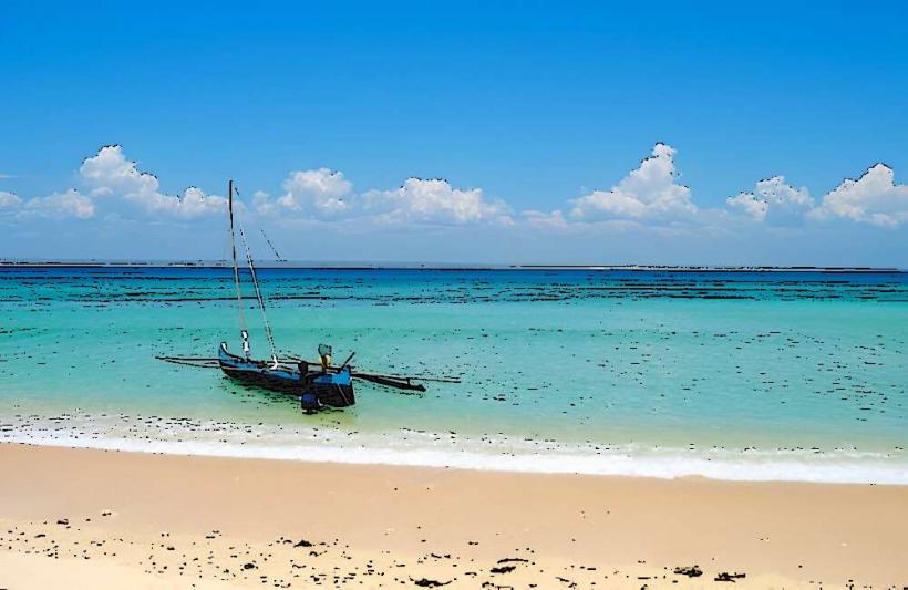
The port consists primarily of concrete and steel structures, including a main pier and several smaller jetties. The water in the harbor area is typically a murky brown due to sediment from the Mananjary River. Vessels present are predominantly small fishing boats, pirogues, and cargo barges constructed from wood or metal. There are no significant architectural features; the design is purely utilitarian.
Location & Access Logistics
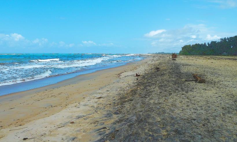
The port is situated on the eastern side of the town of Mananjary, where the Mananjary River meets the Indian Ocean. It is approximately 1km east of the town center, accessible via local paved and unpaved roads. Parking is informal and available along the roadside near the port entrance. Public transport within Mananjary primarily consists of pousse-pousse (rickshaws) and local taxis, which can drop visitors directly at the port area.
Historical & Ecological Origin
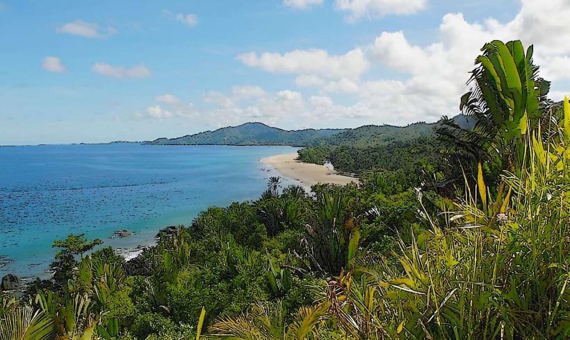
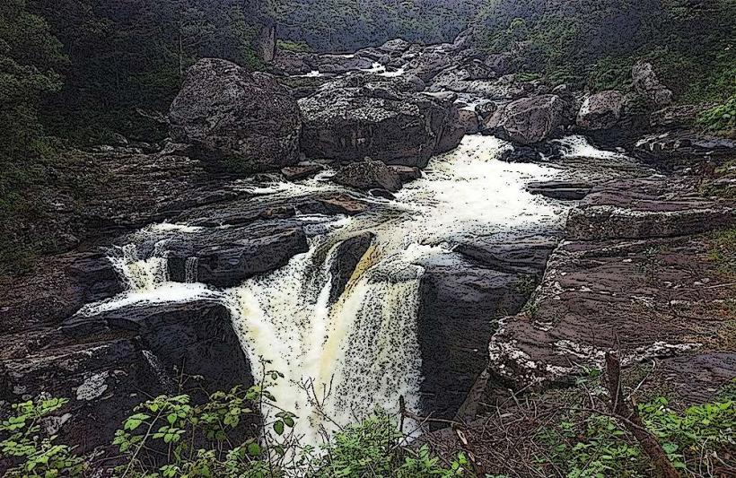
The Mananjary Port was established to facilitate trade and transport along the Canal des Pangalanes, a series of natural rivers and artificial lakes and canals running parallel to the east coast of Madagascar. Its construction and development have been incremental, adapting to the needs of local commerce and fishing. The exact initial construction date is not widely documented, but its function as a port dates back to the early 20th century, evolving from simpler docking points.
Key Highlights & Activities
Observing the loading and unloading of cargo barges is possible. Witnessing local fishermen preparing their boats or returning with catches is a common sight. Walking along the main pier offers views of the river mouth and the Indian Ocean. Local market activity often spills over into the port area, providing an opportunity to observe daily commerce.
Infrastructure & Amenities
Basic restrooms may be available in nearby commercial establishments, but not directly within the port area. Shade is limited, primarily provided by small trees or temporary market stalls. Cell phone signal (2G/3G, sometimes 4G) is generally available in the Mananjary town area, including the port. Several small food vendors and local eateries are typically found adjacent to the port, offering simple meals and beverages.
Best Time to Visit
The dry season, from April to November, offers the most favorable weather conditions with less rainfall. Mornings, between 07:00 and 10:00, are ideal for observing peak activity as fishing boats depart and return, and cargo operations commence. Photography is best during these morning hours for softer light.
Facts & Legends
The port's strategic location at the mouth of the Mananjary River makes it a critical link for communities along the Canal des Pangalanes, which stretches for over 600km. A local tip for visitors is to engage with the fishermen; they often have fresh catches available for direct purchase, offering a unique culinary experience.
Nearby Landmarks
- Mananjary Lighthouse: 1.5km East
- Mananjary Market: 0.8km West
- Mananjary River Bridge: 0.7km North-West
- Catholic Church of Mananjary: 1.2km West