Information
Landmark: Sakamena FallsCity: Mananjary
Country: Madagascar
Continent: Africa
Sakamena Falls, Mananjary, Madagascar, Africa
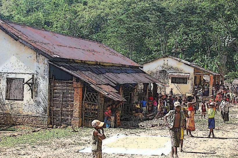
Sakamena Falls is a natural waterfall system situated approximately 30 kilometers west of Mananjary, a coastal city in southeastern Madagascar. The falls are formed by the Sakamena River as it descends through a forested landscape.
Visual Characteristics
The falls consist of multiple tiers of cascades, with water flowing over dark, weathered rock formations. The surrounding vegetation is dense tropical rainforest, characterized by various shades of green foliage. The water itself typically appears clear, especially during the dry season, contrasting with the reddish-brown earth and dark rocks. The overall height of the falls system is not singular but a series of drops.
Location & Access Logistics
Access to Sakamena Falls is primarily via a dirt track from Mananjary. The journey typically involves a drive of approximately 30 kilometers west from the city center, often requiring a 4x4 vehicle, especially during the rainy season. There is no formal parking infrastructure; vehicles are typically left at a designated clearing near the trailheads. Public transport options are limited to private taxi-brousse services or hired vehicles, with no specific bus lines serving the immediate vicinity of the falls.
Historical & Ecological Origin
The Sakamena Falls are a natural geological formation, resulting from the erosive action of the Sakamena River cutting through the bedrock of the eastern Madagascar escarpment. The falls are part of a larger hydrological system within a region characterized by ancient crystalline rocks and lateritic soils. The surrounding ecosystem is classified as humid lowland rainforest, supporting high biodiversity.
Key Highlights & Activities
- Swimming is possible in the natural pools formed at the base of some cascades.
- Hiking trails lead to different viewpoints of the various waterfall sections.
- Birdwatching is a common activity due to the diverse avian population in the surrounding forest.
- Photography opportunities are present, particularly for landscape and nature subjects.
Infrastructure & Amenities
Formal infrastructure at Sakamena Falls is minimal. There are no designated restrooms or changing facilities. Shade is provided naturally by the dense forest canopy. Cell phone signal (4G/5G) is generally unreliable or absent in the immediate vicinity of the falls. There are no permanent food vendors or shops directly at the site; visitors are advised to bring their own provisions.
Best Time to Visit
The best time to visit Sakamena Falls is during the dry season, from May to November. During these months, rainfall is lower, making the access roads more passable and the river levels suitable for swimming. Early morning or late afternoon provides softer light for photography, minimizing harsh shadows within the forest canopy.
Facts & Legends
Local communities sometimes associate the falls with ancestral spirits, considering certain pools or rock formations as sacred sites. It is customary to show respect by not disturbing the natural environment or making excessive noise. The falls are a significant water source for downstream agricultural activities.
Nearby Landmarks
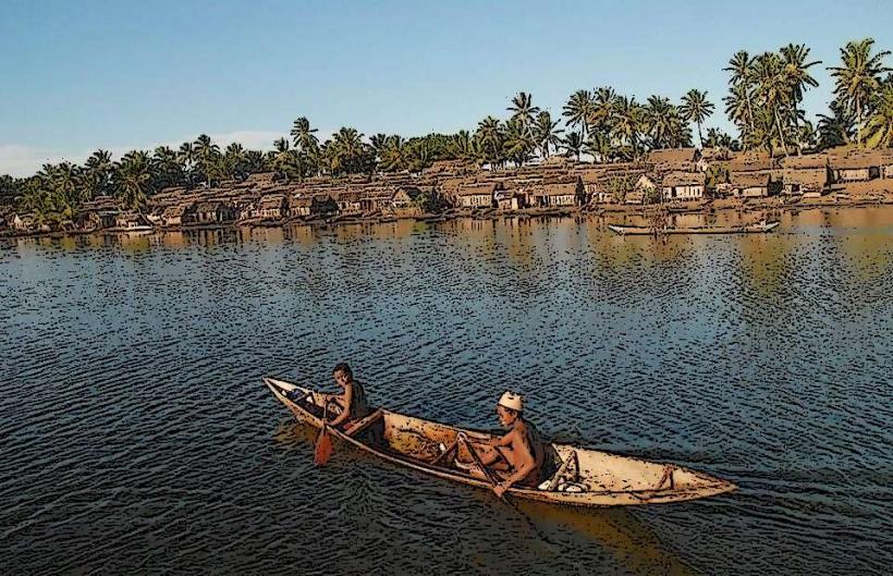
- Mananjary Lighthouse: 30km East
- Canal des Pangalanes: 28km East (accessible from Mananjary)
- Mananjary Market: 30km East (in Mananjary town center)