Information
Landmark: Mananjary RiverCity: Mananjary
Country: Madagascar
Continent: Africa
Mananjary River, Mananjary, Madagascar, Africa
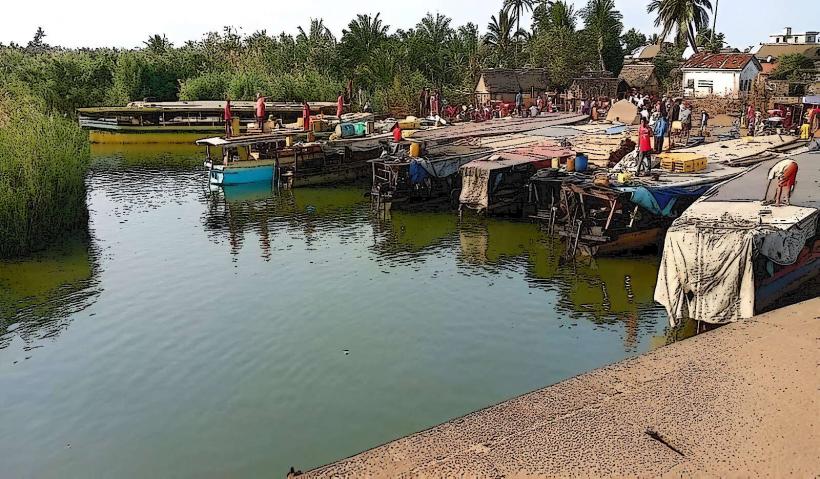
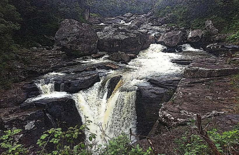
The Mananjary River is a major river flowing through the town of Mananjary, located on the southeastern coast of Madagascar. It serves as a vital natural artery for local transport and commerce, connecting to the extensive Canal des Pangalanes system.
Visual Characteristics
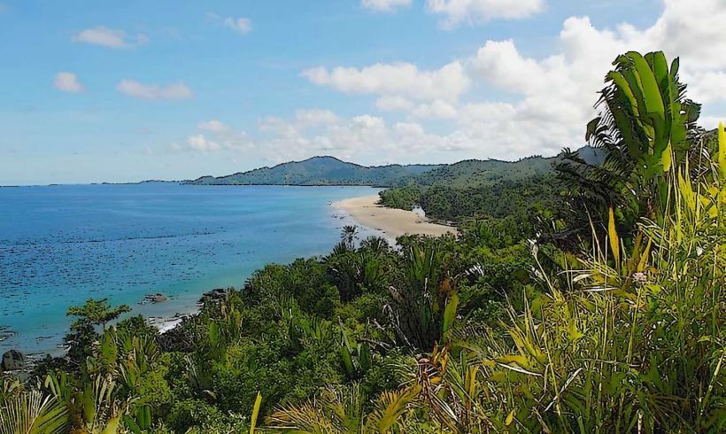
The river's water typically appears brownish due to sediment load, especially during and after rainfall. Its width varies, expanding significantly as it approaches its mouth at the Indian Ocean. The banks are often lined with dense tropical vegetation, including mangroves and various coastal plants, interspersed with small settlements and fishing boats. The river forms a deltaic landscape near the coast.
Location & Access Logistics
The Mananjary River flows directly through the town of Mananjary. Access points are numerous along its course within the town, particularly from roads branching off the main Route Nationale 25 (RN25). The river mouth is approximately 1km east of the town center. Informal parking is available along the riverbanks in various areas. Public transport within Mananjary is limited to local taxis or walking, providing direct access to the river's edge.
Historical & Ecological Origin
The Mananjary River is a natural waterway, formed by the confluence of several smaller rivers originating in the central highlands of Madagascar. Its ecological classification is that of a coastal river system with a significant estuarine component near its mouth. It is a key component of the Canal des Pangalanes, a series of natural rivers and artificial canals that run parallel to the east coast of Madagascar, facilitating inland water transport.
Key Highlights & Activities
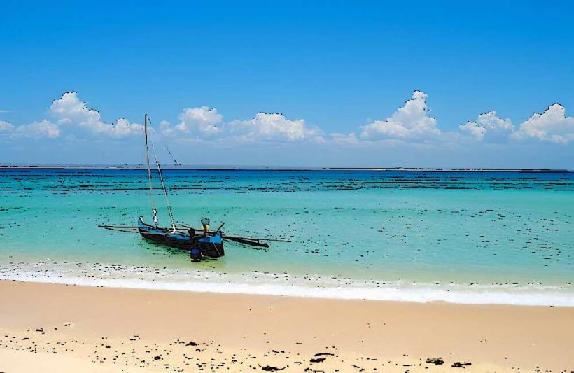
Boat tours are available, offering exploration of the river and its connection to the Canal des Pangalanes. Fishing is a primary activity for local communities and visitors can observe traditional fishing methods. Observing local riverine life, including pirogues transporting goods and people, is a common experience. Birdwatching is possible along the vegetated banks.
Infrastructure & Amenities
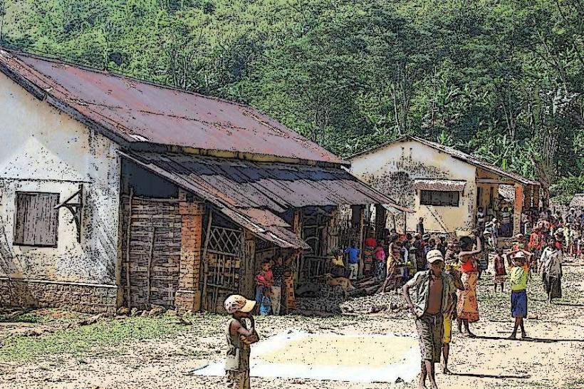
Directly along the riverbanks, formal infrastructure is minimal. Restrooms, food vendors, and shops are available within the nearby town of Mananjary, typically within a 0.5km walk from most river access points. Shade is provided by natural vegetation along the banks. Cell phone signal (2G/3G, sometimes 4G) is generally available in the town area.
Best Time to Visit
The dry season, from April to November, offers the most favorable conditions for visiting, with less rainfall and potentially clearer river water. Mornings and late afternoons provide softer light for photography and cooler temperatures for boat excursions. There are no specific high/low tide requirements for general river access, though tidal influences are present near the mouth.
Facts & Legends
The Mananjary River is culturally significant as the site of the "Sambatra" circumcision ceremony, a major traditional event held every seven years by the Antambahoaka people. During this period, the river becomes a focal point for rituals and celebrations.
Nearby Landmarks
- Mananjary Lighthouse: 1.5km East
- Mananjary Market: 0.7km West
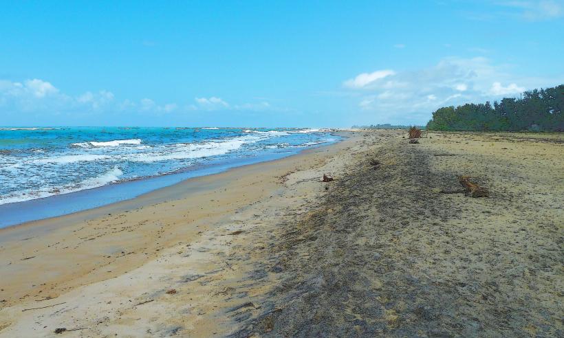
- Plage de Mananjary (Mananjary Beach): 1km Southeast
- Canal des Pangalanes (Southern Section): Directly accessible from the river