Information
Landmark: Bjeshkët e NamunaCity: Shkoder
Country: Albania
Continent: Europe
Bjeshkët e Namuna, Shkoder, Albania, Europe
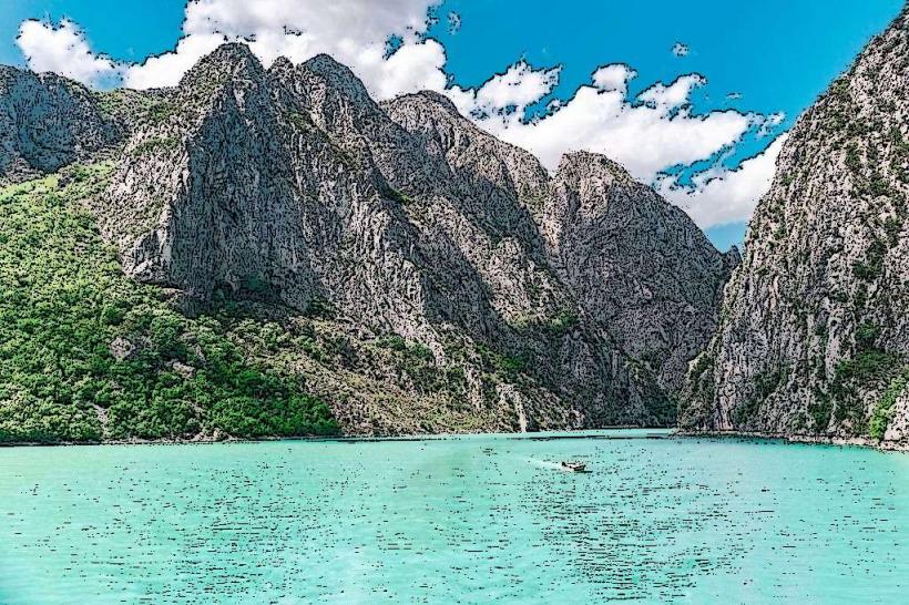
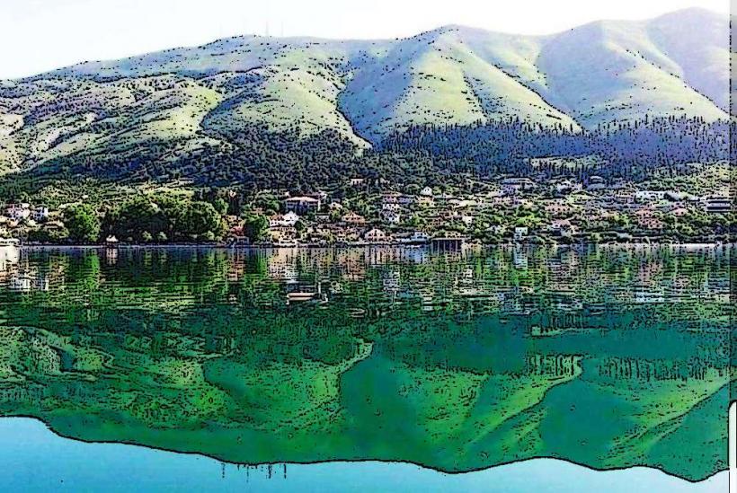
Bjeshkët e Namuna, known as the Accursed Mountains or the Albanian Alps, is a high-altitude mountain range situated in northern Albania near the city of Shkodër. This limestone massif forms the southern extension of the Dinaric Alps and defines the border region between Albania, Kosovo, and Montenegro.
Visual Characteristics
The landscape is defined by sharp, jagged karst peaks, deep U-shaped glacial valleys, and vertical limestone walls reaching elevations over 2,600 meters. Rock surfaces are predominantly light grey, contrasted by dark green coniferous forests of Bosnian pine and European beech at lower elevations. High-altitude zones feature barren stone fields, deep sinkholes, and permanent snow patches in shaded northern couloirs.
Location & Access Logistics
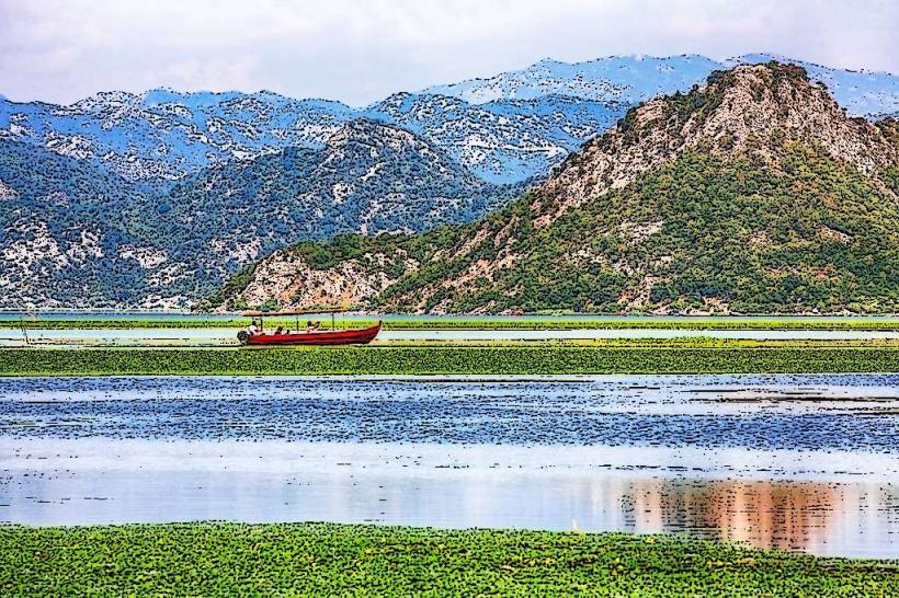
Primary access from Shkodër is via the SH21 road leading to the village of Theth or the SH20 road toward Kelmend. The drive to Theth takes approximately 2 to 3 hours and is now largely paved, though the final descent into the valley involves steep switchbacks. Daily minibuses (furgons) depart Shkodër city center for Theth and Valbonë; boat transport across Lake Koman is a standard logistical link for those traversing the range toward the eastern sectors.
Historical & Ecological Origin
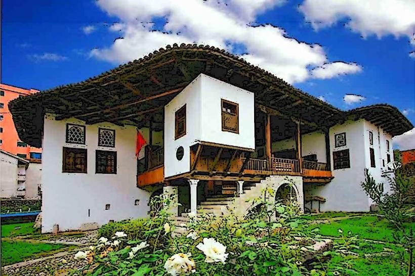
The range was formed through Mesozoic limestone sedimentation and subsequent tectonic uplifting during the Alpine orogeny. Glacial activity during the last Ice Age carved the characteristic hanging valleys and cirques. Historically, the region remained isolated for centuries, governed by the Kanun (traditional code of law), which preserved the unique stone-built fortified tower houses known as kulla.
Key Highlights & Activities
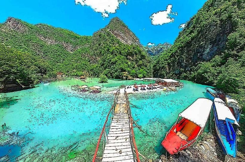
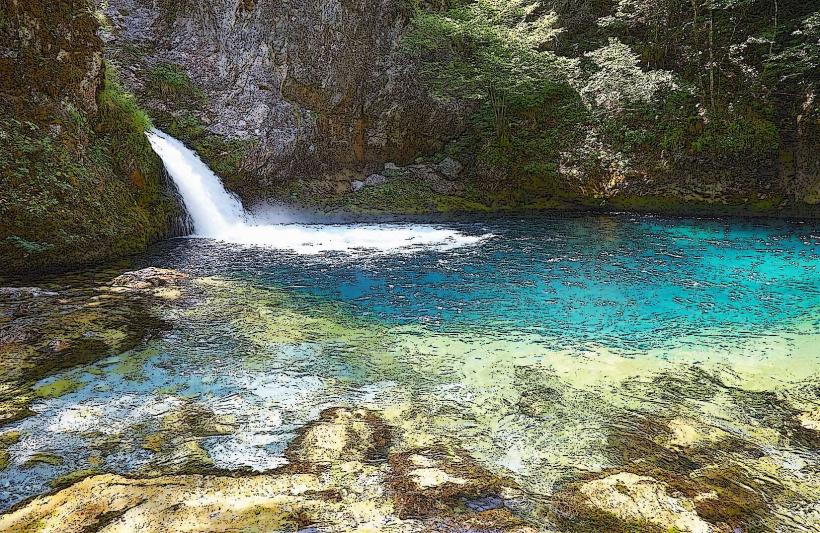
Trekking the Valbonë to Theth pass is the primary activity, following a marked 17km trail. Mountaineering and technical climbing are concentrated on peaks like Maja Jezercë, the highest point at 2,694 meters. Cold-water swimming is possible in the Blue Eye of Theth and the Shala River. Specialized botanical tours focus on endemic species such as the Wulfenia baldaccii.
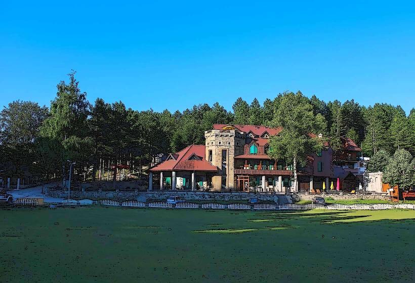
Infrastructure & Amenities
Infrastructure is concentrated in valley villages where guesthouses provide lodging and meals. On the high-altitude trails, there are no public restrooms, formal shelters, or food vendors. Cell phone signal (4G) is functional in village centers and on some high ridges but is non-existent in deep canyons and remote basins.
Best Time to Visit
The hiking season runs from June to September; trails are typically blocked by deep snow from November through May. July and August offer the most stable weather, though afternoon thunderstorms are frequent. Photography is most effective during the early morning hours to capture the sharp relief and shadows of the limestone crags.
Facts & Legends
The name "Accursed Mountains" originates from local folklore depicting the range as a desolate land created by the devil or cursed by a mother whose children were lost in the rugged terrain. Historically, the area is known for the "sworn virgins" (burrnesha), a social tradition where women take an oath of celibacy and live as men to inherit family property and lead households.
Nearby Landmarks
Theth National Park – 0.5km South (from village center)
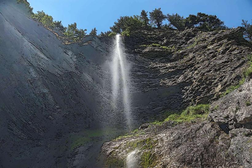
Grunas Waterfall – 2.5km South
Maja Jezercë – 4.8km Northeast
Blue Eye of Theth (Syri i Kaltër) – 3.5km Southwest
Valbonë Pass – 4.2km Northeast