Information
Landmark: Mesi BridgeCity: Shkoder
Country: Albania
Continent: Europe
Mesi Bridge, Shkoder, Albania, Europe
Mesi Bridge is an 18th-century Ottoman stone bridge located near the village of Mes, spanning the Kir River. It is the largest and best-preserved Ottoman bridge in Albania, serving as a primary example of regional civil engineering.
Visual Characteristics
The bridge is 108 meters long and features 13 asymmetrical arches. The central arch is the largest, rising 12.5 meters above the riverbed with a span of 21.5 meters. It is constructed from local limestone blocks and river stones, following a distinctive curved silhouette to accommodate the uneven terrain of the riverbanks. The pedestrian path is paved with irregular cobblestones and lacks modern guardrails.
Location & Access Logistics
The site is situated 8km northeast of Shkodër city center. Access is via the Rruga e Mesit, a paved secondary road. There is no direct urban bus service; visitors typically arrive by taxi, private vehicle, or bicycle. A small, unpaved parking area is located at the western entrance. Crossing the bridge is restricted to pedestrians and non-motorized vehicles.
Historical & Ecological Origin
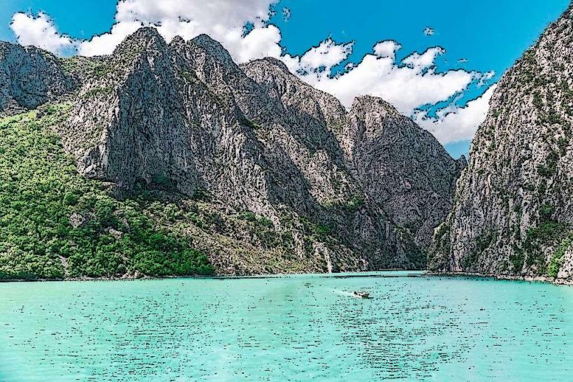
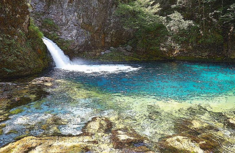
Commissioned around 1768 by Kara Mahmud Pasha Bushati, the governor of Shkodër, the bridge was built to connect the city with the highland region of Drisht. It was part of the ancient trade route leading toward Kosovo. The Kir River below is a mountain stream characterized by turquoise waters during the spring melt and a largely dry, rocky bed during the late summer.
Key Highlights & Activities
Visitors can walk across the bridge to observe the masonry and the surrounding valley. The riverbanks are used by locals for swimming and picnics during the summer months. It is a frequent destination for photography tours due to the symmetry of the arches against the backdrop of the Prekal mountains.
Infrastructure & Amenities
The site is an open-air public monument with no entrance fee or visitor center. 5G cellular coverage is available. There are no public restrooms on-site. A few small seasonal cafés and traditional restaurants are located in Mes village, approximately 0.2km from the bridge. There is no artificial shade on the bridge itself.
Best Time to Visit
The site is accessible 24 hours a day. The best time for photography is in the early morning or late afternoon to capture the shadows within the arches. Spring is the most visually significant season, as the Kir River is full and the surrounding hills are green. During high summer (August), the river may be completely dry.
Facts & Legends
The bridge was engineered to withstand the flash floods common to the Kir River; its asymmetrical design allows water to pass through the smaller side arches during surges, preventing structural failure of the central span. A local tip is that the best panoramic views are found from the modern concrete road bridge located 50 meters downstream.
Nearby Landmarks
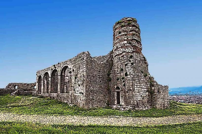
Drisht Castle (Ruins): 4.5km Northeast
Rozafa Castle: 11.0km Southwest
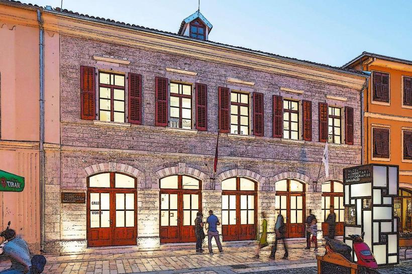
Marubi National Museum of Photography: 8.2km Southwest
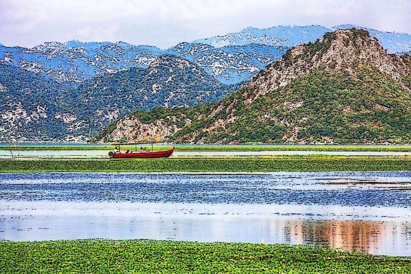
Shkoder-lake_shkoder" class="underline">Shkodër Lake: 12.5km West
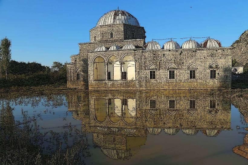
Ebu Beker Mosque: 8.0km Southwest