Information
Landmark: Blanchisseuse Spring BridgeCity: Port of Spain
Country: Trinidad and Tobago
Continent: North America
Blanchisseuse Spring Bridge, Port of Spain, Trinidad and Tobago, North America
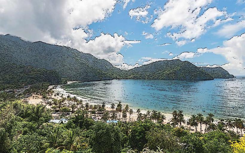
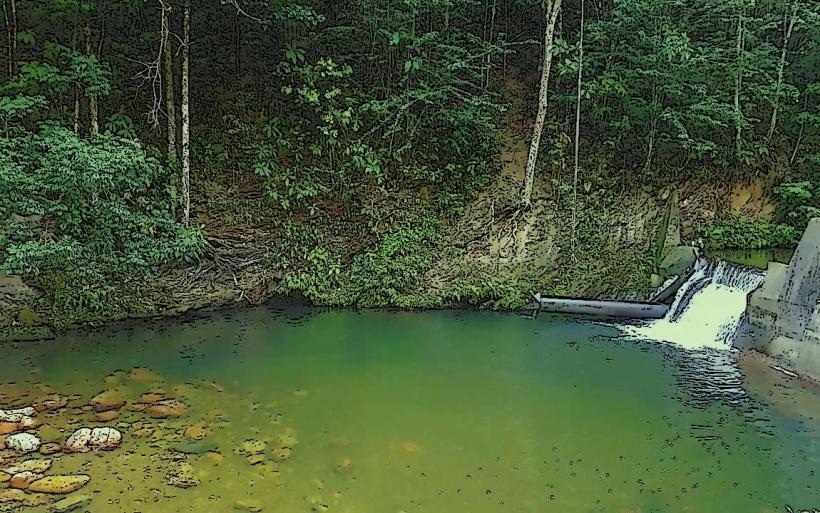
The Blanchisseuse Spring Bridge is a concrete structure spanning a river in the Arima Valley, located northeast of Port of Spain, Trinidad and Tobago.
It serves as a crossing point for the Blanchisseuse Road.
Visual Characteristics
The bridge is a single-span concrete arch structure. Its deck is approximately 10 meters long and 6 meters wide. The concrete is weathered, showing signs of age and exposure to the elements. The surrounding environment is dense tropical rainforest, with the river flowing beneath.
Location & Access Logistics
The bridge is situated on Blanchisseuse Road (also known as Saddle Road), approximately 25 kilometers northeast of Port of Spain's city center. Access is via Blanchisseuse Road, which is a paved public highway. Parking is limited to the immediate roadside shoulders, which can be narrow. Public transport options directly to the bridge are infrequent; local maxi-taxis operate on Blanchisseuse Road but may not stop specifically at the bridge.
Historical & Ecological Origin
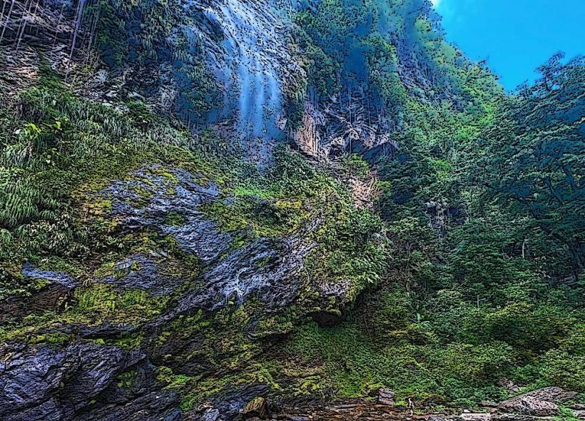
The bridge was constructed in the mid-20th century to facilitate passage over the Arima River, replacing an earlier, less robust crossing. Its purpose was to improve connectivity for communities in the Blanchisseuse area and to support logging and agricultural activities in the Arima Valley. The Arima Valley itself is characterized by steep slopes and a humid tropical climate, supporting a diverse range of flora and fauna.
Key Highlights & Activities
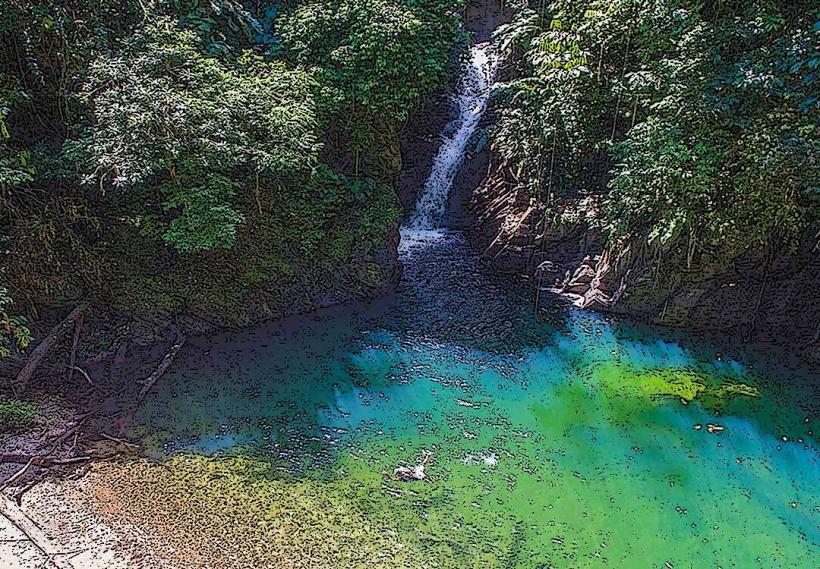
Observation of the bridge's engineering in its natural setting is the primary activity. The river below is accessible for wading during low flow conditions. Birdwatching is possible in the surrounding forest. The bridge is a point of interest for those traversing Blanchisseuse Road.
Infrastructure & Amenities
There are no dedicated facilities at the bridge site. Restrooms are not available. Shade is provided by the surrounding forest canopy. Cell phone signal (4G/5G) is generally unreliable in this remote valley location. No food vendors are present at the bridge; provisions should be made before traveling.
Best Time to Visit
The best time of day for photography is mid-morning or late afternoon when sunlight penetrates the forest canopy. The dry season, from January to May, offers more predictable weather and lower river levels. During the wet season (June to December), heavy rainfall can cause the river to swell, potentially making access to the riverbank hazardous.
Facts & Legends
Local folklore suggests that the river beneath the bridge is a source of healing waters, though this is unsubstantiated. A specific historical oddity is the bridge's resilience; it has withstood numerous heavy rainfall events and associated flash floods over the decades, a testament to its construction.
Nearby Landmarks
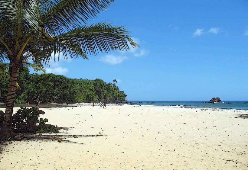
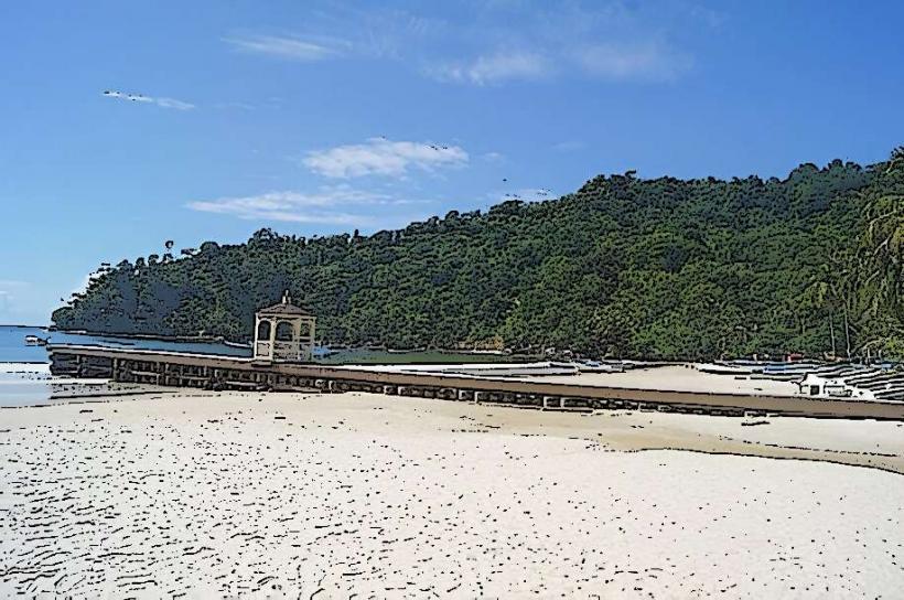
- Maracas Beach (10km Southwest)
- El Tucuche (12km West)
- Aripo Caves (15km Southeast)
- Valencia (20km East)