Information
Landmark: Caura RiverCity: Port of Spain
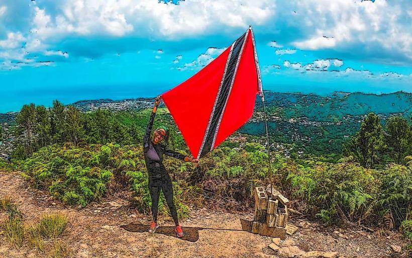
Country: Trinidad and Tobago
Continent: North America
Caura River, Port of Spain, Trinidad and Tobago, North America
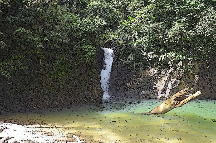
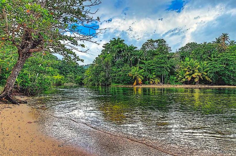
The Caura River is a significant waterway located east of Port of Spain, Trinidad and Tobago. It serves as a primary source of freshwater for the surrounding region.
Visual Characteristics
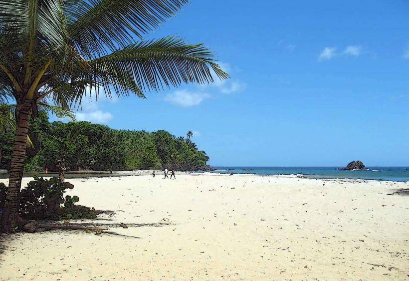
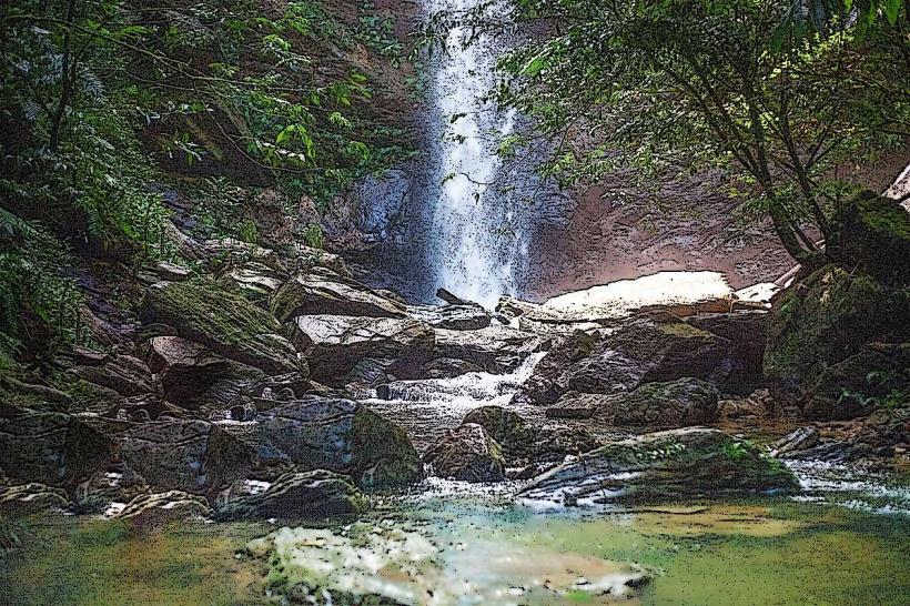
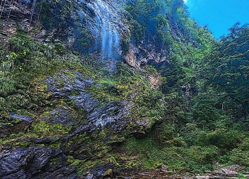
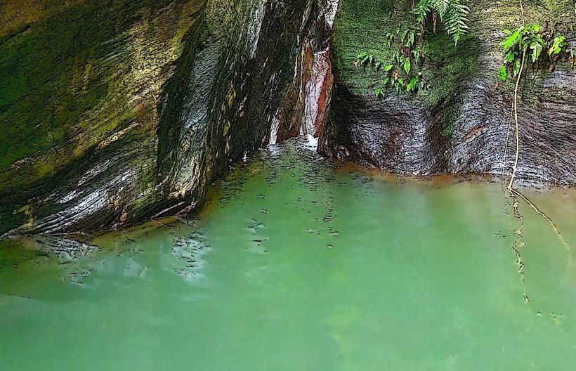
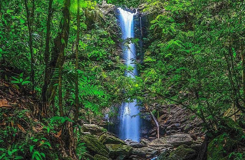
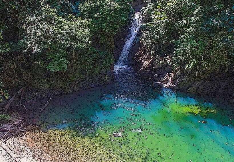
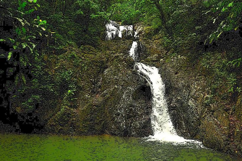
The river's water color varies from clear to a muddy brown depending on recent rainfall. The riverbanks are characterized by dense tropical rainforest vegetation, including large trees and undergrowth. Rock formations are visible in certain sections, particularly where the riverbed is exposed.
Location & Access Logistics
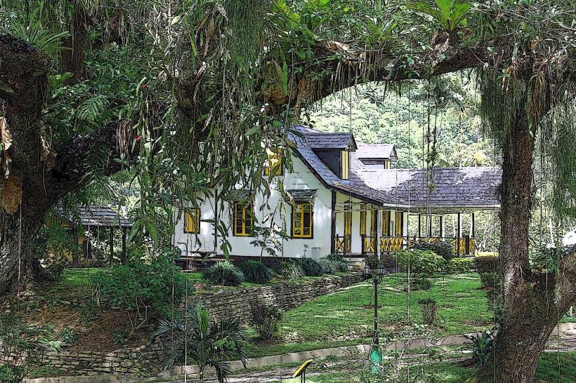
The Caura River is accessible via the Caura Royal Road, approximately 15 kilometers east of Port of Spain's city center. The road is paved for most of its length, though conditions can degrade closer to the river. Parking is available in designated informal pull-off areas along the road. Public transport options are limited; local bus routes do not directly service the river access points, requiring a taxi or private vehicle.
Historical & Ecological Origin
The Caura River is a natural watercourse, part of the island's drainage system. Its geological origin is tied to the sedimentary rock formations of the Northern Range. Ecologically, it supports a diverse range of freshwater flora and fauna characteristic of tropical rainforest environments.
Key Highlights & Activities
Activities include swimming in designated deeper pools, picnicking along the riverbanks, and hiking on informal trails that follow the river's course. Birdwatching is also a common activity due to the surrounding forest habitat.
Infrastructure & Amenities
Basic amenities are minimal. There are no formal restrooms or dedicated food vendors directly at the river access points. Shade is provided by the natural tree canopy. Cell phone signal (4G/5G) is intermittent and often unavailable once deeper into the river valley.
Best Time to Visit
The best time of day for photography is generally mid-morning or late afternoon when sunlight filters through the canopy. The dry season, from January to May, offers the most stable river conditions and pleasant weather. During the wet season (June to December), river levels can rise rapidly, making access potentially hazardous.
Facts & Legends
A local legend suggests that the river's currents can be unpredictable, and swimmers should exercise extreme caution. Historically, the river was a vital resource for early settlements in the area.
Nearby Landmarks
- 5km West: Caroni Bird Sanctuary (West)
- 7km Southwest: Queen's Park Savannah (Southwest)
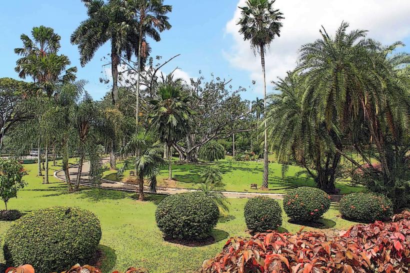
- 8km Southwest: Royal Botanic Gardens, Trinidad (Southwest)
- 10km West: National Museum and Art Gallery (West)