Information
Landmark: Marianne RiverCity: Port of Spain
Country: Trinidad and Tobago
Continent: North America
Marianne River, Port of Spain, Trinidad and Tobago, North America
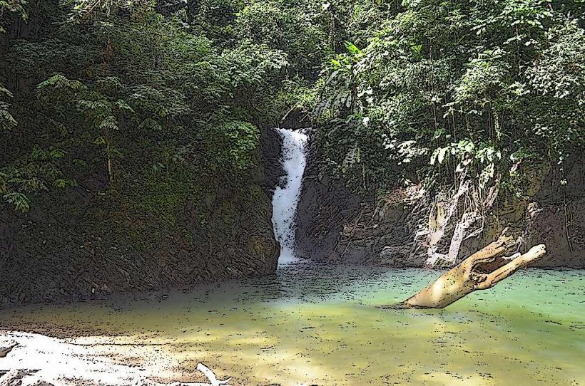
The Marianne River is a river located in the Northern Range of Trinidad, flowing into the Caribbean Sea near Port of Spain, Trinidad and Tobago.
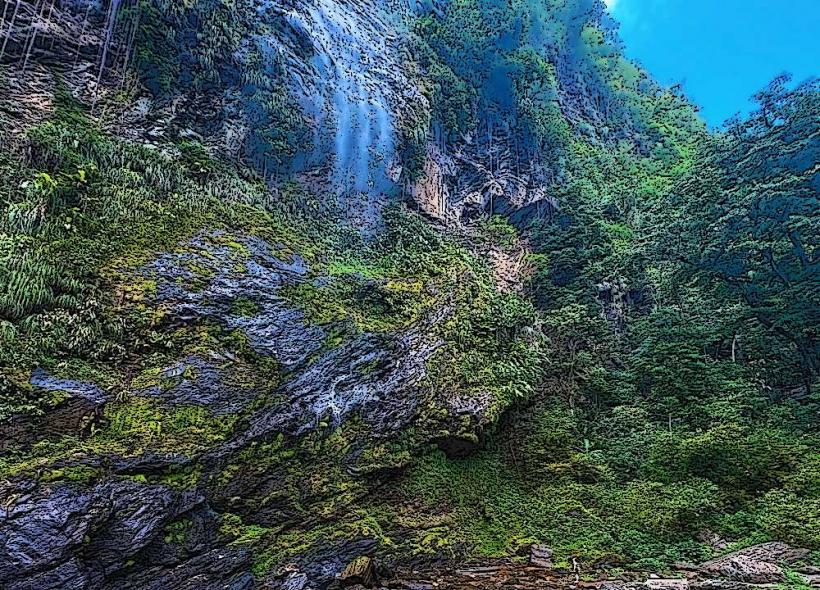
This river system is characterized by its limestone formations and dense tropical rainforest surroundings.
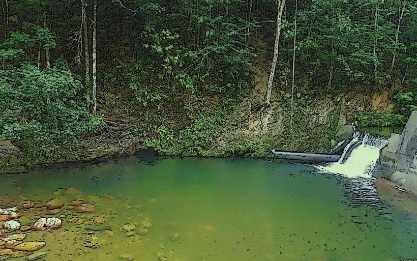
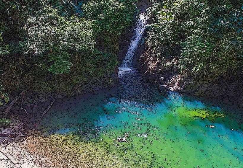
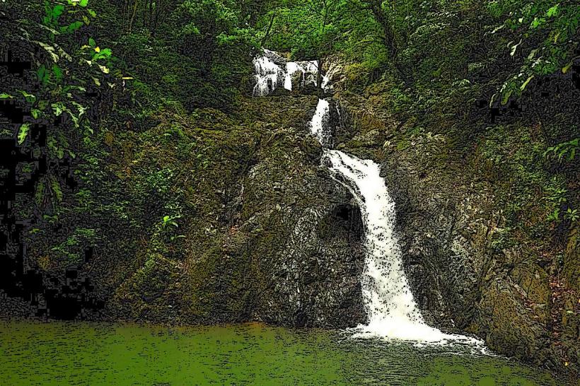
Visual Characteristics
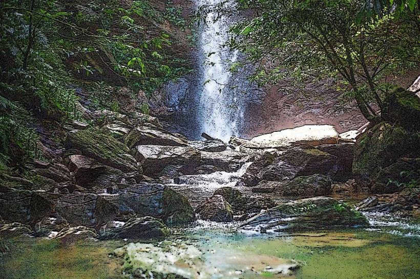
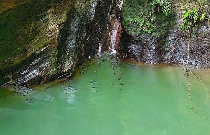
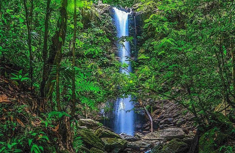
The river's water color varies from clear to a milky brown depending on recent rainfall and sediment load. The riverbed is composed of smooth, rounded stones and exposed limestone rock. The surrounding vegetation is dense, consisting of broadleaf trees, ferns, and vines, creating a closed canopy overhead.
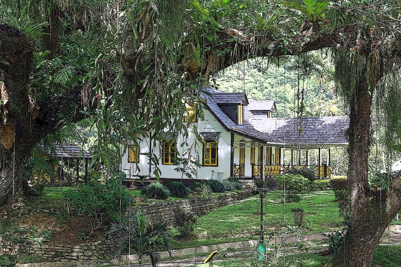
Location & Access Logistics
Access to the Marianne River is primarily via the Blanchisseuse Road (also known as the North Coast Road) from Port of Spain. The turn-off for the river access point is approximately 25 kilometers northeast of the city center. Parking is available at designated informal pull-off areas along the road. Public transport options are limited; local maxi-taxis operate on the Blanchisseuse Road, but require specific arrangements for drop-off and pick-up at the river access point.
Historical & Ecological Origin
The Marianne River is a natural waterway formed by the erosion of the Northern Range's limestone geology over millennia. Its ecological origin is that of a tropical rainforest river system, supporting a diverse range of flora and fauna adapted to this environment.
Key Highlights & Activities
Activities include swimming in designated deeper pools, observing local birdlife, and short hikes along the riverbanks. The river is known for its natural pools and small cascades. Access to the river is often facilitated by local guides who can direct visitors to safer entry points.
Infrastructure & Amenities
There are no formal infrastructure or amenities directly at the river access points. Restrooms are not available. Shade is provided by the dense forest canopy. Cell phone signal is intermittent to non-existent in most areas along the river. Food vendors are not present at the river itself; provisions should be made before traveling from Port of Spain or Blanchisseuse.
Best Time to Visit
The best time of day for photography is generally mid-morning to early afternoon when sunlight penetrates the canopy. The dry season, from January to May, offers lower water levels and clearer water. During the wet season (June to December), rainfall can increase water levels and turbidity, potentially making access more difficult and swimming less advisable.
Facts & Legends
Local folklore suggests that the river's pools possess healing properties. A verified historical detail is that the river was a significant water source for early settlements in the region, and its course has been largely unchanged by human intervention.
Nearby Landmarks
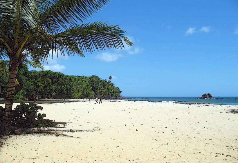
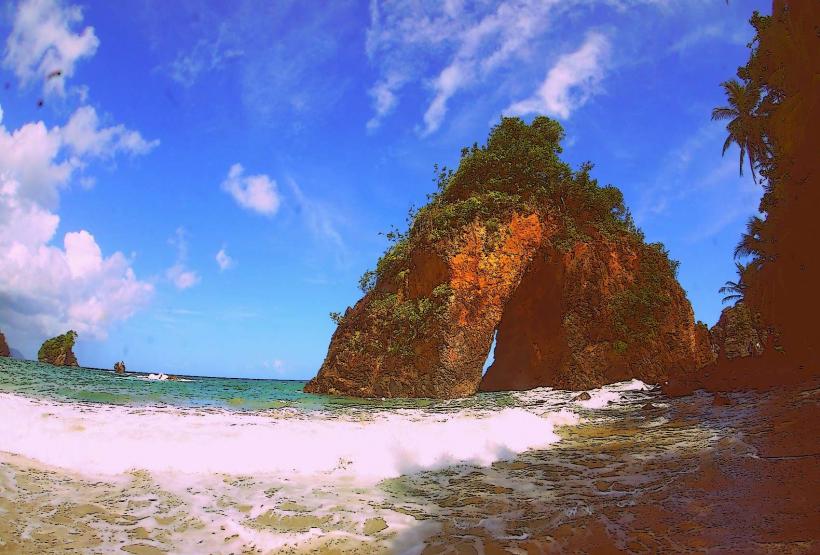
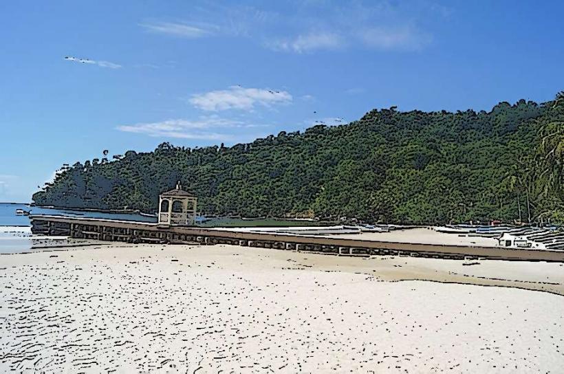
- Maracas Beach (10km Southwest)
- Las Cuevas Beach (7km West)
- Blanchisseuse Village (5km Northeast)
- El Tucuche (12km East)