Information
Landmark: Boise River GreenbeltCity: Boise
Country: USA Idaho
Continent: North America
Boise River Greenbelt, Boise, USA Idaho, North America
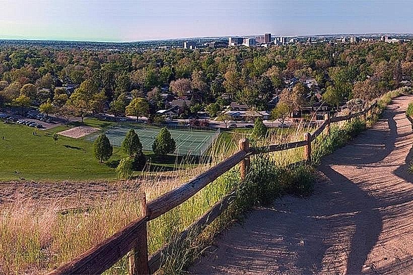
The Boise River Greenbelt is a paved pathway system traversing the city of Boise, Idaho, following the Boise River.
Visual Characteristics
The Greenbelt consists of a 25-mile paved pathway, primarily asphalt, with some sections of concrete. It runs alongside the Boise River, with varying widths of riparian vegetation including cottonwood trees, willows, and native grasses. The river itself exhibits a range of turbidity depending on recent precipitation and snowmelt, typically appearing brown to greenish-brown. The pathway is generally flat with gentle undulations.
Location & Access Logistics
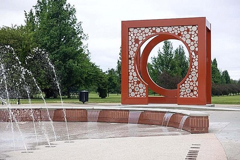
The Greenbelt extends approximately 25 miles, beginning near Lucky Peak Dam to the east and reaching the western city limits. It is accessible from numerous points within Boise. Major access points include Julia Davis Park, Ann Morrison Park, and Kathryn Albertson Park. Parking is available at these designated park areas. Public transport access is limited directly to the Greenbelt, but several bus routes (e.g., Valley Ride Route 1, Route 3) stop near park entrances, requiring a short walk to reach the pathway.
Historical & Ecological Origin
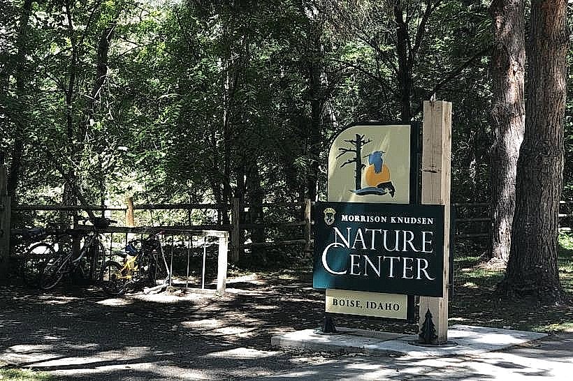
The initial development of the Greenbelt began in the 1960s, with the goal of flood control and recreational access along the Boise River. It has evolved over decades through city planning and land acquisition. Ecologically, it preserves a riparian corridor within an urban environment, supporting local wildlife and providing habitat for various bird species, fish, and small mammals.
Key Highlights & Activities
Activities include walking, jogging, cycling, and rollerblading on the paved pathway. Fishing is permitted in designated areas of the Boise River. Kayaking and paddleboarding are possible during periods of sufficient water flow. Several parks along the Greenbelt offer picnic areas and playgrounds. Birdwatching is a common activity due to the riparian habitat.
Infrastructure & Amenities
Restrooms are available at major park access points. Shade is provided by mature trees along many sections. Cell phone signal (4G/5G) is generally consistent throughout the Greenbelt. Food vendors are not typically located directly on the Greenbelt, but are present in nearby parks and commercial areas adjacent to access points.
Best Time to Visit
For photography, early morning and late afternoon offer softer lighting. The best months for comfortable outdoor activity are April through October. Spring (April-May) provides lush vegetation and active wildlife. Summer (June-August) is warm and suitable for water activities. Autumn (September-October) offers changing foliage.
Facts & Legends
A unique aspect of the Greenbelt is its integration with the Boise River's flow management. During periods of high snowmelt, sections of the Greenbelt may be temporarily inundated, requiring closure. The Greenbelt is also a critical component of the city's stormwater management system.
Nearby Landmarks
- Julia Davis Park (0.1km North)
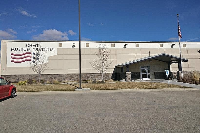
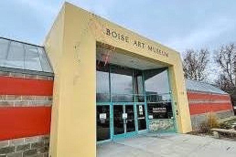
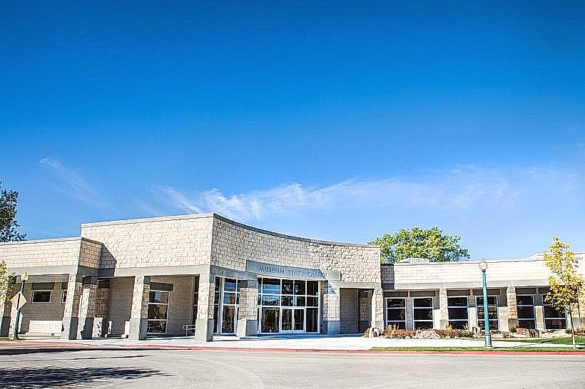
- Boise Art Museum (0.3km North)
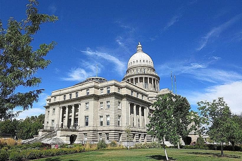
- Idaho State Capitol Building (1.5km North)
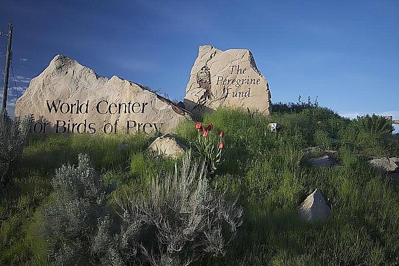
- Boise River Recreation Area (2.0km East)
- Boise Depot (2.5km North)