Information
Landmark: Camel’s Back ParkCity: Boise
Country: USA Idaho
Continent: North America
Camel’s Back Park, Boise, USA Idaho, North America
Camel's Back Park is a public recreational area situated in Boise, Idaho, USA. It is recognized for its prominent ridgeline that resembles the hump of a camel.
Visual Characteristics
The park features a prominent, elongated ridgeline composed of exposed sedimentary rock and soil. Vegetation consists primarily of native grasses, sagebrush, and scattered juniper trees. The ridgeline reaches an elevation of approximately 4,500 feet. The park's lower sections include manicured lawns and developed recreational facilities.
Location & Access Logistics
Camel's Back Park is located approximately 3 miles north of downtown Boise. Access is via North Ridge Road, which leads to the main parking area at the park's base. Additional street parking is available in the surrounding residential neighborhoods. Boise's public bus system serves the area; Route 12 stops within a 0.5km walk of the park entrance.
Historical & Ecological Origin
The ridgeline is a geological formation dating back to the Tertiary period, primarily composed of sedimentary rock deposited by ancient lake systems. The park was established as a public space in the early 20th century, with significant development occurring in the mid-20th century to create recreational facilities.
Key Highlights & Activities
Activities include hiking on designated trails that ascend the ridgeline, offering panoramic views of the Boise Valley. The park contains a network of multi-use trails suitable for trail running and mountain biking. A playground and picnic areas are located at the park's base. The summit provides a vantage point for observing the city and surrounding foothills.
Infrastructure & Amenities
Restrooms are available at the base of the park near the main parking lot. Shaded picnic tables are provided in designated areas. Cell phone signal (4G/5G) is generally consistent throughout the park. No on-site food vendors are present; however, commercial areas with food options are located within a 1.5km radius.
Best Time to Visit
For photography, early morning or late afternoon light provides optimal illumination of the ridgeline and valley. The best months for comfortable outdoor activity are April through October, avoiding the extreme heat of mid-summer. Winter visits are possible but may require traction devices due to ice or snow on trails.
Facts & Legends
A local anecdote suggests the ridgeline's shape was used by early settlers as a navigational landmark. The park's summit is a popular spot for observing meteor showers due to its elevation and distance from significant light pollution sources.
Nearby Landmarks
- Ridge to Rivers Trail System (0.1km North)
- Boise Foothills (Adjacent)
- Julia Davis Park (4.5km South)
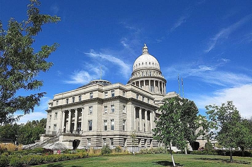
- Idaho State Capitol Building (3.8km South)
- Boise River Greenbelt (4.0km South)