Information
Landmark: Bornholm Coastal PathCity: Bornholm
Country: Denmark
Continent: Europe
Bornholm Coastal Path, Bornholm, Denmark, Europe
Visual Characteristics
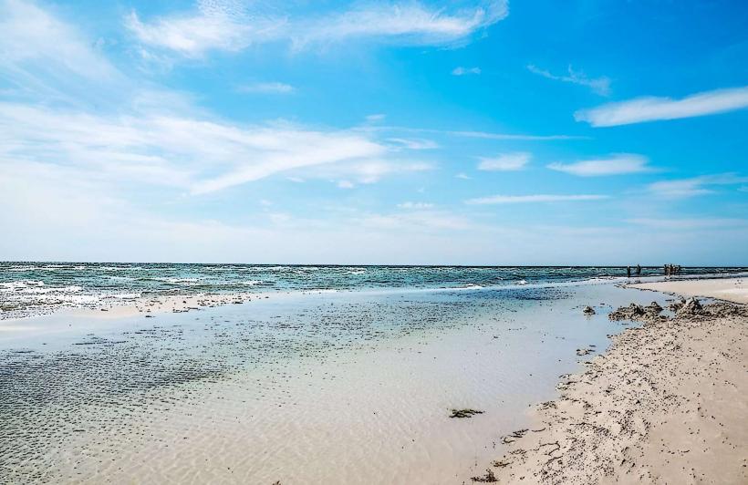
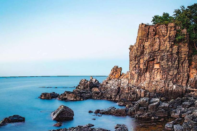
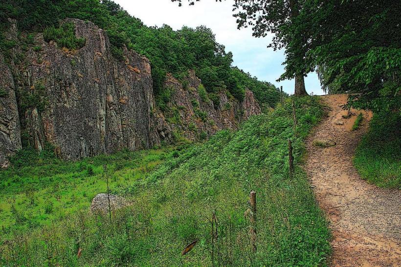
The path traverses varied terrain including granite cliffs, sandy beaches, and rocky shores. Coastal vegetation consists primarily of hardy grasses, heather, and scattered pine forests. Water along the coast ranges from clear blue in sheltered coves to deeper grey-blue in open waters.
Location & Access Logistics
The Bornholm Coastal Path is accessible from numerous points around the island, with major access points in towns such as Rønne, Gudhjem, and Svaneke. From Rønne, the island's main port, the path begins directly at the harbor. Public transport is provided by BAT (Bornholms Amts Trafikselskab) bus lines, with stops frequently located near path access points in coastal towns. Parking is available in designated areas within these towns, often near harbors or public beaches.
Historical & Ecological Origin
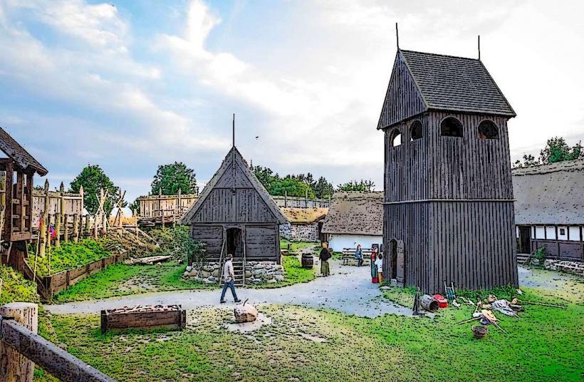
The island of Bornholm, and thus its coastline, is primarily composed of Precambrian bedrock, predominantly granite and gneiss, dating back over 1.7 billion years. The coastal formations, including cliffs and rock outcrops, are a result of glacial erosion and subsequent marine processes shaping this ancient geology. The path itself is a modern designation, formalizing existing coastal access routes.
Key Highlights & Activities
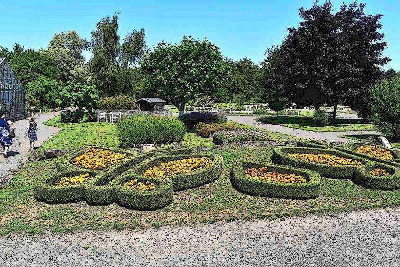
Walking and hiking are the primary activities along the Bornholm Coastal Path, with sections varying in difficulty from easy strolls to more challenging cliffside routes. Photography opportunities are abundant, particularly at sunrise and sunset over the Baltic Sea. Birdwatching is possible, especially during migratory seasons. Swimming is available at designated beaches and coves along the route.
Infrastructure & Amenities
Restrooms are available in the towns and villages located along the path, such as Gudhjem, Svaneke, and Allinge. Shade is intermittent, provided by coastal forests or rock formations in certain sections, but much of the path is exposed. Cell phone signal (4G/5G) is generally reliable across most of the island's populated coastal areas. Food vendors, cafes, and restaurants are found in the towns and fishing villages directly on the path.
Best Time to Visit
The best time to visit the Bornholm Coastal Path is from late spring (May) to early autumn (September) for optimal weather conditions and longer daylight hours. July and August offer the warmest temperatures for swimming. For photography, early morning or late afternoon light provides softer illumination and longer shadows along the coast. Tidal variations in the Baltic Sea are minimal and do not significantly impact path accessibility.
Facts & Legends
A unique tip for visitors is to explore the section between Gudhjem and Svaneke, which features dramatic rock formations and the Helligdomsklipperne (Sanctuary Cliffs), known for their distinctive shapes and sea caves. Historically, many sections of the path follow ancient fishing trails and smuggling routes.
Nearby Landmarks
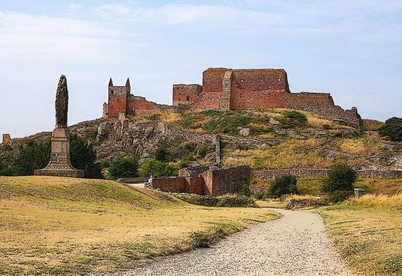
- Hammershus Castle Ruin: 0.5km East (from the path section near Hammerodde)
- Jons Kapel: 0.1km East (directly adjacent to the path near Vang)
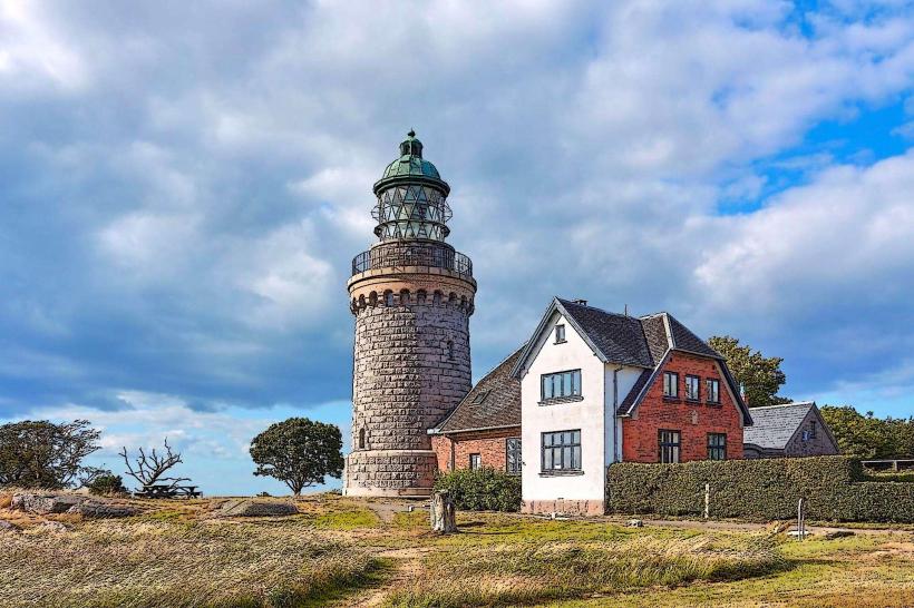
- Svaneke Lighthouse: 0.2km South (from the path section in Svaneke)
- Helligdomsklipperne: 0.1km West (directly adjacent to the path near Tejn)