Information
Landmark: Bridal Veil FallsCity: Telluride
Country: USA Colorado
Continent: North America
Bridal Veil Falls, Telluride, USA Colorado, North America
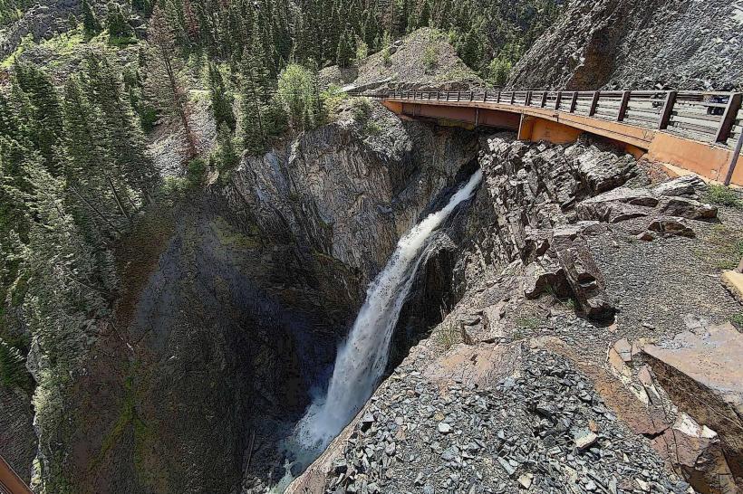
Bridal Veil Falls is a waterfall located in San Miguel County, Colorado, near the town of Telluride.
It is the highest free-falling waterfall in Colorado, dropping 361 feet (110 meters).
Visual Characteristics
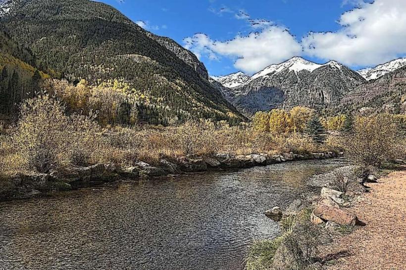
The waterfall descends a sheer cliff face composed of metamorphic rock. The water appears as a thin, white ribbon from a distance, particularly during drier periods. The surrounding vegetation consists of coniferous trees and alpine meadows.
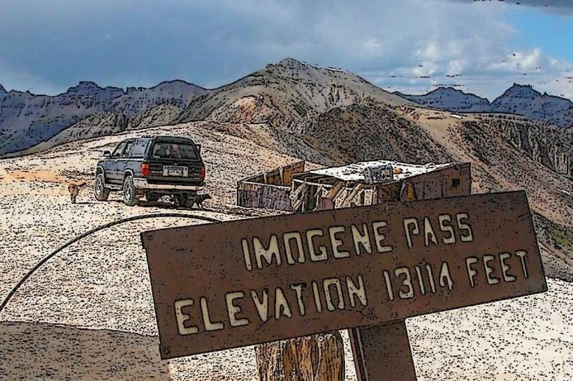
Location & Access Logistics
The falls are situated approximately 4 miles east of Telluride. Access is via the Bridal Veil Road (County Road 637), a rough, unpaved, and steep road. A 4WD vehicle with high clearance is recommended for driving this road. The road is typically open from late May or June through October, depending on snow conditions. Parking is available at the base of the road and at designated pull-offs along the route. Public transport does not directly service the falls; visitors typically drive or hike.
Historical & Ecological Origin
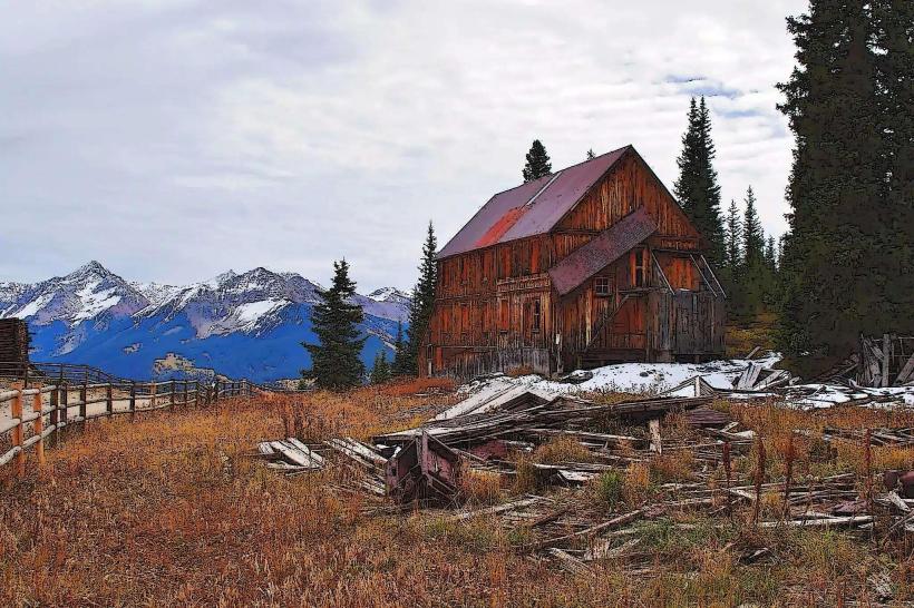
The geological formation of Bridal Veil Falls is a result of glacial erosion and subsequent stream downcutting. The cliff face is part of the Telluride Formation, dating back to the Pennsylvanian period. Historically, the area was explored for mining, and a hydroelectric power plant was constructed near the falls in 1897, making it one of the first in the United States. The plant is still operational.
Key Highlights & Activities
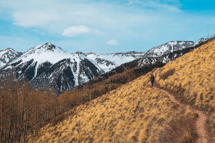
Hiking to the base of the falls is possible via the Bridal Veil Road or a dedicated hiking trail. The trail offers views of the surrounding valley. Photography is a common activity, especially during morning and late afternoon. The area is also used for backcountry skiing and snowshoeing in winter, though access is significantly more challenging.
Infrastructure & Amenities
There are no developed amenities at the falls themselves. Restrooms are not available. Shade is provided by the surrounding trees. Cell phone signal is intermittent to non-existent along the access road and at the falls. Food vendors are not present; visitors should bring their own supplies.
Best Time to Visit
The best time for clear views of the water flow is during the spring and early summer (May-July) when snowmelt is at its peak. For photography, early morning or late afternoon light provides optimal illumination. The road is generally passable from June to October. Winter visits are for experienced individuals due to extreme conditions.
Facts & Legends
The name "Bridal Veil Falls" is attributed to the visual resemblance of the water's descent to a bridal veil. The hydroelectric plant at the falls, built by the Telluride Power Company, was a significant engineering feat for its time and continues to generate electricity.
Nearby Landmarks
- Tomboy Mine Ruins (1.5km Northwest)
- Bear Creek Trailhead (3.0km Southwest)
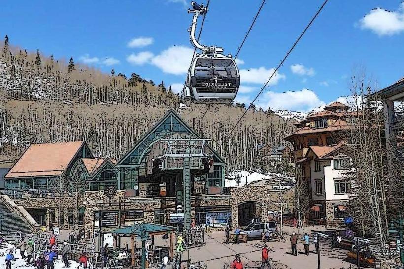
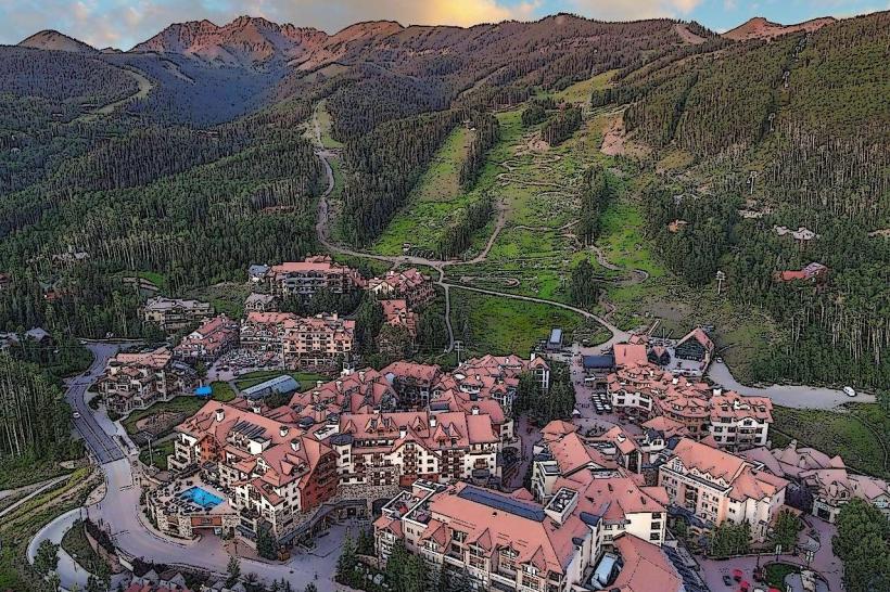
- Town of Telluride (4.0km West)
- Ajax Peak (5.0km North)